
-
National Agriculture Imagery Program (NAIP) recent views
The National Agriculture Imagery Program (NAIP) acquires aerial imagery during the agricultural growing seasons in the continental U.S. A primary goal of the NAIP program is to... -
Landsat-Derived Global Rainfed and Irrigated-Cropland Product 30 m V001 recent views
The Landsat-Derived Global Rainfed and Irrigated-Cropland Product (LGRIP) provides high resolution, global cropland data to assist and address food and water security issues of... -
NACP North American Forest Dynamics Project: Forest Disturbance and Regrowth Data recent views
This data set provides the results of time-series analyses of Landsat imagery for 55 selected forested sites across the conterminous U.S.A. The output is a pair of disturbance... -
A Global Database of Gas Fluxes from Soils after Rewetting or Thawing, Version 1.0 recent views
This database contains information compiled from published studies on gas flux from soil following rewetting or thawing. The resulting database includes 222 field and laboratory... -
Methane Emissions from Dairy Sources (Vista-CA), State of California, USA, 2019 recent views
This dataset provides estimates of methane (CH4) emissions from dairies in California at a resolution of 0.1 degrees (~ 10 km x 10 km) for the year 2019. The mapped sources of... -
AirMOSS: L4 Modeled Volumetric Root Zone Soil Moisture, 2012-2015 recent views
This data set provides hourly gridded soil moisture estimates derived from hydrologic modeling at nine AirMOSS sites across North America. The AirMOSS L4 RZSM product represents... -
Smerge-Noah-CCI root zone soil moisture 0-40 cm L4 daily 0.125 x 0.125 degree V2.0 (SMERGE_RZSM0_40CM) at GES DISC recent views
Smerge-Noah-CCI root zone soil moisture 0-40 cm L4 daily 0.125 x 0.125 degree V2.0 is a multi-decadal root-zone soil moisture product. Smerge is developed by merging the North... -
LBA-ECO ND-02 Agricultural and Secondary Forest Soil Trace Gas Flux, Para: 2001-2004 recent views
This data set reports the results of a study to measure soil emissions of the carbon dioxide (CO2), methane (CH4), and nitrous oxide (N2O), and nitric oxide (NO) throughout an... -
GPM Ground Validation USDA ARS Soil Moisture IFloodS V1 recent views
The GPM Ground Validation United States Department of Agriculture (USDA) Agricultural Research Service (ARS) Soil Moisture IFloodS dataset was collected during the Iowa Flood... -
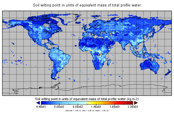
Global Soil Profile Data (ISRIC-WISE) recent views
The ISRIC-WISE International soil profile data set consists of a homogenized, global set of 1,125 soil profiles for use by global modelers. These profiles provided the basis for... -
Remote Sensing Data Before and After California Rim and King Forest Fires, 2010-2015 recent views
This data set provides high-resolution surface reflectance, thermal imagery, burn severity metrics, and LiDAR-derived structural measures of forested areas in the Sierra Nevada... -
GPM Ground Validation Environment Canada (EC) Weather Station XET C3VP V1 recent views
The GPM Ground Validation Environment Canada (EC) Weather Station XET C3VP dataset consists of surface meteorological data collected at the Environment Canada (EC) XET station... -
NACP: Forest Carbon Stocks, Fluxes and Productivity Estimates, Western USA, 1979-2099 recent views
This dataset contains annual estimates of carbon stocks, fluxes, and productivity over forested land in 11 states of the western USA (Arizona, California, Colorado, Idaho,... -
MERRA-2 const_2d_lnd_Nx: 2d, constants Land Surface Diagnostics 0.625 x 0.5 degree V5.12.4 (M2C0NXLND) at GES DISC recent views
M2C0NXLND (or const_2d_lnd_Nx) is a data collection in Modern-Era Retrospective analysis for Research and Applications version 2 (MERRA-2). This collection consists of... -
WLDAS Noah-MP 3.6 Land Surface Model L4 Daily 0.01 degree x 0.01 degree Version D1.0 (WLDAS_NOAHMP001_DA1) at GES DISC recent views
The Western Land Data Assimilation System (WLDAS), developed at Goddard Space Flight Center (GSFC) and funded by the NASA Western Water Applications Office, provides water... -
LUH1: Harmonized Global Land Use for Years 1500-2100, V1 recent views
These data represent fractional land use and land cover patterns annually for the years 1500 - 2100 for the globe at 0.5-degree (~50-km) spatial resolution. Land use categories... -
Annual wildland fire emissions (WFEIS v0.5) for Conterminous US and Alaska, 2001-2013 NGDA recent views
This data set contains annual modeled estimates of wildland fire emissions at 0.01 degree (~1-km) spatial resolution from the Wildland Fire Emissions Information System (WFEIS... -
Global Forest Ecosystem Structure and Function Data For Carbon Balance Research recent views
A comprehensive global database has been assembled to quantify CO2 fluxes and pathways across different levels of integration (from photosynthesis up to net ecosystem... -
LBA-ECO ND-02 CO2 Flux from Soils in Forests and Pastures, Acre, Brazil: 1999-2001 recent views
This data set reports soil CO2 flux and results of physical and chemical characterization of soils from pastures, secondary forests, and mature forests near Rio Branco, Acre,...

Official websites use .gov
A
.gov website belongs to an official government
organization in the United States.
Secure .gov websites use HTTPS
A
lock (
) or https:// means you’ve safely connected to
the .gov website. Share sensitive information only on official,
secure websites.