
-
ABoVE: AirSWOT Color-Infrared Imagery Over Alaska and Canada, 2017 recent views
This dataset contains georeferenced three-band orthomosaics of green, red, and near-infrared (NIR) digital imagery at 1m resolution collected over selected surface waters across... -
Delta-X: ANUGA Hydrodynamic Outputs, Atchafalaya and Terrebonne, MRD, USA recent views
This dataset comprises the primary inputs and outputs from the ANUGA hydrodynamic model for spring 2021 (2021-03-20 to 2021-04-04). These dates align with the 2021 Delta-X... -
BOREAS AFM-08 ECMWF Hourly Surface and Upper Air Data for the SSA and NSA recent views
Hourly data from the ECMWF operational model from below the surface to the top of the atmosphere, including the model fluxes at the surface, at Candle Lake, Saskatchewan, in the... -
Delta-X: AirSWOT L2 Geocoded Water Surface Elevation, MRD, Louisiana, 2021, Version 2 recent views
This dataset contains Level 2 (L2) AirSWOT geocoded products, including estimated water surface elevation. The AirSWOT instrument is a Ka-band interferometer and for this study... -
Pre-Delta-X: AVIRIS-derived Total Suspended Solids Maps for MRD, LA, USA, 2015-2016 recent views
This dataset includes total suspended solids (TSS) at the water surface across the Atchafalaya and Terrebonne Basins in Southern Louisiana, USA, within the Mississippi River... -
ABoVE: Environmental Conditions and Subsistence Resource Access, Alaska, 2016-2017 recent views
This dataset provides descriptions and photos of environmental conditions that impacted availability to subsistence resources by residents in nine rural communities within the... -
FIFE CDROM Vol. 3 Contents: NS001 Thematic Mapper Simulator (TMS) Imagery, 1987-1989 recent views
This data set provides aircraft-based NS001 Thematic Mapper Simulator (TMS) images of the study area associated with The First ISLSCP (International Satellite Land Surface... -
Global River Discharge, 1807-1991, V[ersion]. 1.1 (RivDIS) recent views
The Global Monthly River Discharge Data Set (RivDIS) contains monthly averaged discharge measurements for 1,018 stations located throughout the world from 1807-1991. The period... -
ABoVE: Monthly Hydrological Fluxes for Canada and Alaska, 1979-2018 recent views
This dataset provides modeled estimates of monthly hydrological fluxes at 0.25-degree resolution over Alaska and Canada for the years 1979-2018. The estimates were derived from... -
LBA-ECO LC-07 Monthly Inundated Areas, Amazon, Orinoco and Pantanal Basins: 1978-1987 recent views
This data set reports the monthly record of inundated area, in square km, for six floodplain and open water regions in South America. The following floodplains were analyzed:... -
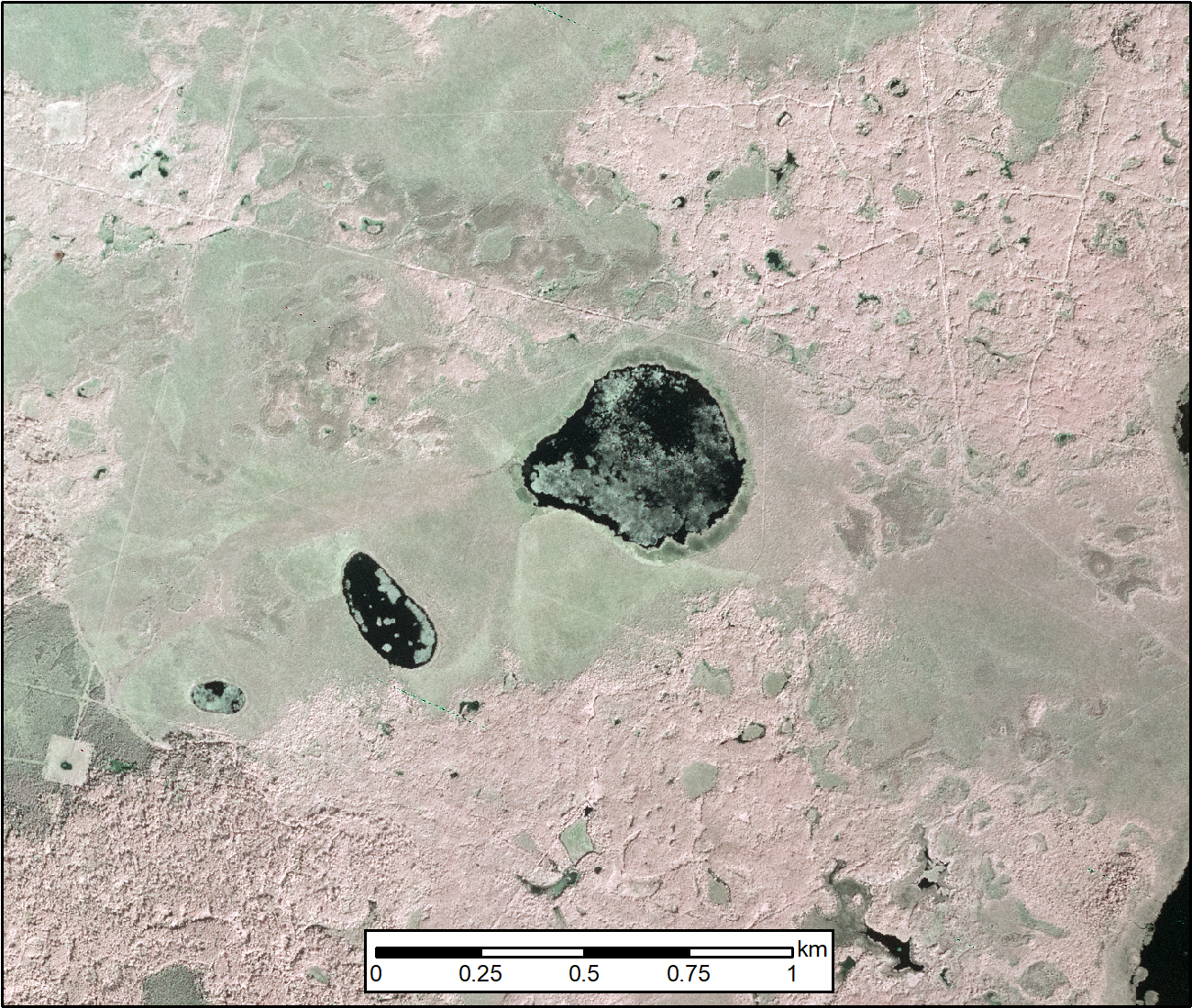
Lake Bathymetry Maps derived from Landsat and Random Forest Modeling, North Slope, AK recent views
This dataset provides lake bathymetry maps derived from Landsat surface reflectance products for a portion of the North Slope area of Alaska. A random forest regression... -
Global Soil Profile Data (ISRIC-WISE) recent views
The ISRIC-WISE International soil profile data set consists of a homogenized, global set of 1,125 soil profiles for use by global modelers. These profiles provided the basis for... -
BOREAS HYD-04 Standard Snow Course Data recent views
Contains the standard snow course data collected at various sites in the NSA and SSA by HYD-04. -
Delta-X: Calibrated ANUGA Hydrodynamic Outputs for the Atchafalaya Basin, MRD, LA recent views
This dataset provides ANUGA hydrodynamic modeling results and input run-scripts for the Atchafalaya basin in the Mississippi River Delta in southern Louisiana, USA, during three... -
ABoVE: Wolf Denning Phenology and Reproductive Success, Alaska and Canada, 2000-2017 NGDA recent views
This dataset provides annual gray wolf (Canis lupus) denning spatial information and timing, associated climatic and phenologic metrics, and reproductive success (i.e., pup... -
Global-Gridded Daily Methane Emissions from Inland Dam-Reservoir Systems recent views
This dataset includes global maps of methane (CH4) emissions from inland dam-reservoir systems at 0.25-degree spatial resolution. Daily emission rates (as grams of CH4 per day... -
ABoVE: Lake Growing Season Green Surface Reflectance Trends, AK and Canada, 1984-2019 recent views
This dataset provides an annual time series of Landsat green surface reflectance and the derived annual trend during the growing season (June and July) for 472,890 lakes across...

Official websites use .gov
A
.gov website belongs to an official government
organization in the United States.
Secure .gov websites use HTTPS
A
lock (
) or https:// means you’ve safely connected to
the .gov website. Share sensitive information only on official,
secure websites.