
-
Federal
CAMEX-4 GOES-8 PRODUCTS V1 recent views
National Aeronautics and Space Administration —
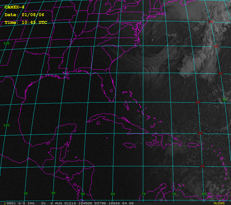
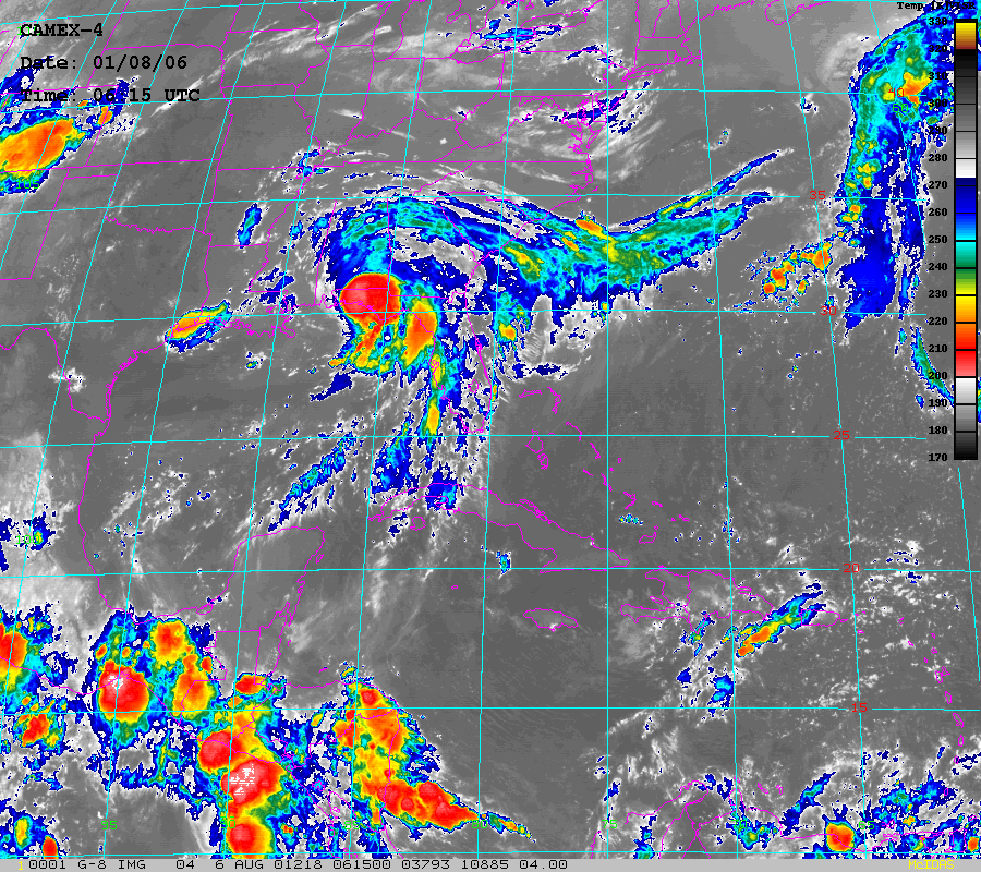
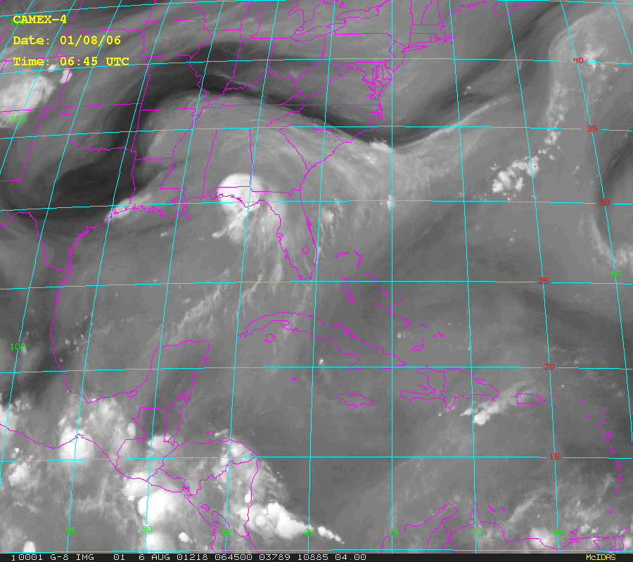
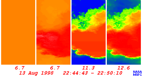
The CAMEX-4 GOES-8 Products dataset was collected during the CAMEX-4 field campaign, which ocused on the study of tropical cyclone (hurricane) development, tracking,... -
Federal
GPM Ground Validation GOES 15 Visible and Infrared Images OLYMPEX V1 recent views
National Aeronautics and Space Administration —
The GPM Ground Validation GOES 15 Visible and Infrared Images OLYMPEX dataset contains visible and infrared images from the GOES 15 Imager during the GPM Ground... -
Federal
GPM GROUND VALIDATION GOES 13 VISIBLE AND INFRARED IMAGES GCPEX V1 recent views
National Aeronautics and Space Administration —
The GPM Ground Validation GOES 13 Visible and Infrared Images GCPEx dataset was produced and archived in near real time at the Global Hydrology Resource Center... -
Federal
GOES-R PLT Field Campaign Airborne Visible/Infrared Imaging Spectrometer Next Generation (AVIRIS-NG) V1 recent views
National Aeronautics and Space Administration —
The GOES-R PLT Field Campaign Airborne Visible/Infrared Imaging Spectrometer Next Generation (AVIRIS-NG) dataset consists of radiance, reflectance, water phase, and... -
Federal
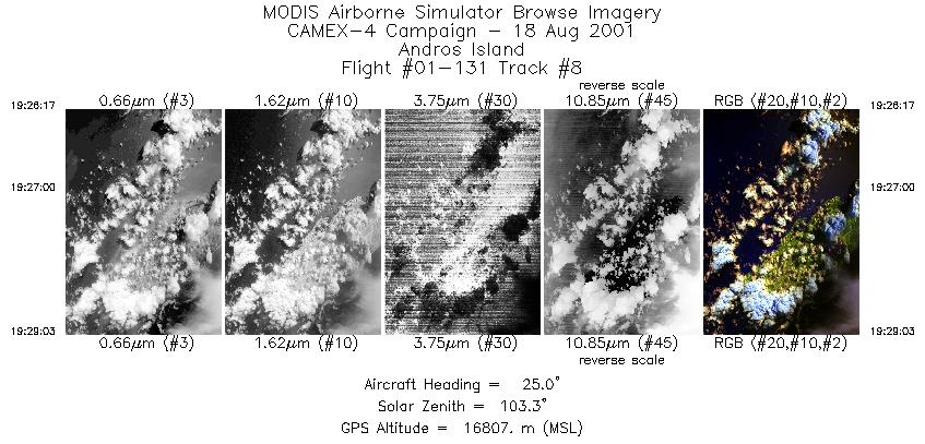
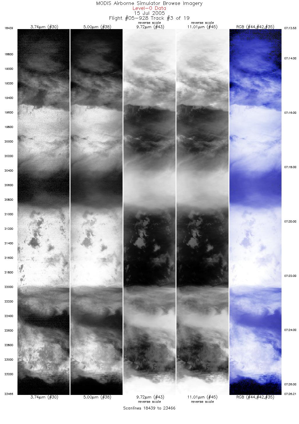
CAMEX-4 ER-2 MODIS AIRBORNE SIMULATOR (MAS) V1 recent views
National Aeronautics and Space Administration —
The MODIS Airborne Simulator (MAS) is an airborne scanning spectrometer that acquires high spatial resolution imagery of cloud and surface features from its vantage... -
Federal
TRMM TROPICAL CYCLONE PRECIPITATION FEATURE (TCPF) DATABASE - LEVEL 1 V1 recent views
National Aeronautics and Space Administration —
The TRMM Cyclone Precipitation Feature (TCPF) Database - Level 1 provides Tropical Rainfall Measuring Mission (TRMM)-based tropical cyclone data in a common framework... -
Federal
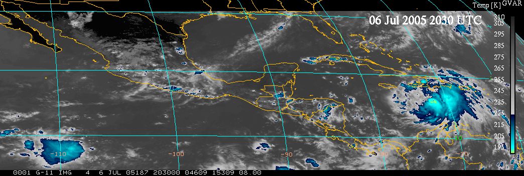
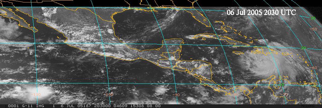
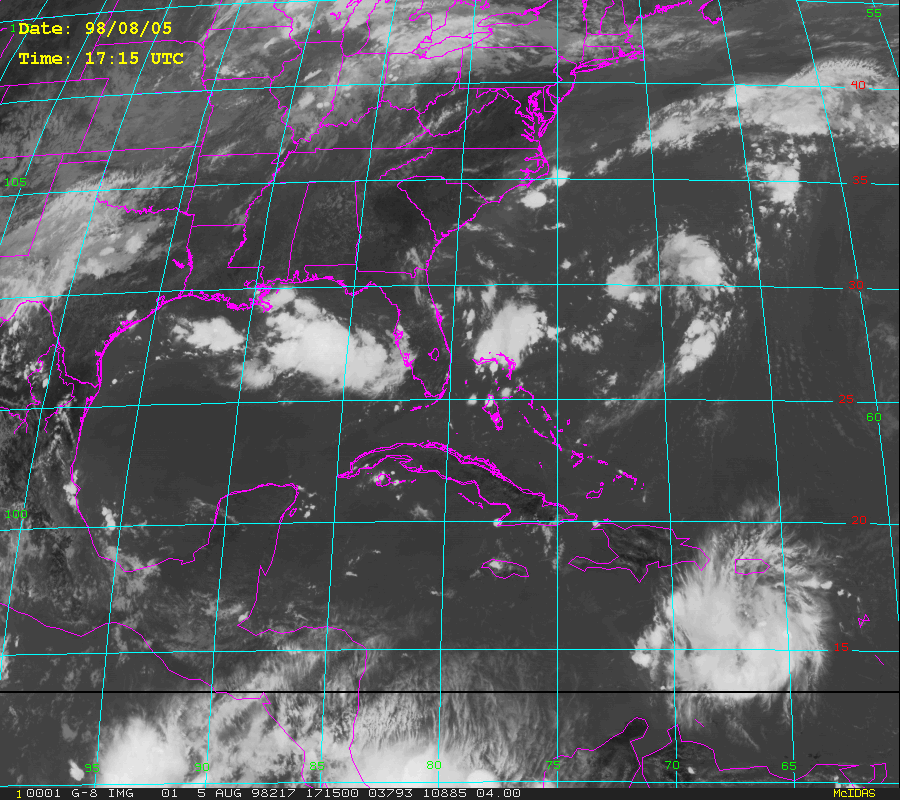
TCSP GOES VISIBLE AND INFRARED IMAGES V1 recent views
National Aeronautics and Space Administration —
The TCSP GOES Visible and Infrared Images dataset was collected in support of the Tropical Cloud Systems and Processes (TCSP) mission, visible and infrared imagery... -
Federal
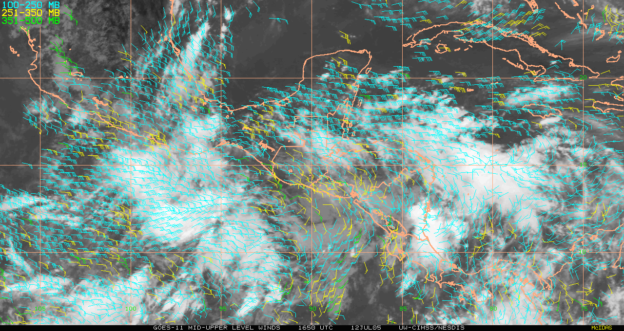
TCSP GOES 11 RAPID SCAN WINDS V1 recent views
National Aeronautics and Space Administration —
The TCSP GOES 11 Rapid Scan Winds dataset was generated from image triplets with 30 or 60 minute intervals, and occasionally 15 minute intervals. During Geostationary... -
Federal
GRIP GOES 11 VISIBLE AND INFRARED IMAGES V1 recent views
National Aeronautics and Space Administration —
The GRIP GOES 11 Visible and Infrared Images dataset was produced and archived in near real-time at the Global Hydrology Resource Center throughout the Genesis and... -
Federal
GRIP GOES 13 VISIBLE AND INFRARED IMAGES V1 recent views
National Aeronautics and Space Administration —
The GRIP GOES 13 Visible and Infrared Images dataset was produced and archived in near real time at the Global Hydrology Resource Center throughout the Genesis and... -
Federal
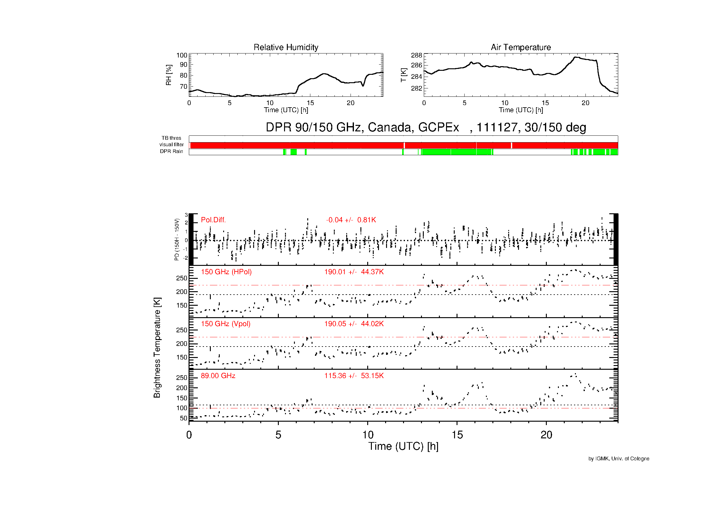
GPM GROUND VALIDATION DUAL POLARIZATION RADIOMETER GCPEX V1 recent views
National Aeronautics and Space Administration —
The GPM Ground Validation Dual Polarization Radiometer GCPEx dataset includes brightness temperature measurements at frequencies 90 GHz (not polarized) and 150 GHz... -
Federal
TCSP ER-2 MODIS AIRBORNE SIMULATOR (MAS) V1 recent views
National Aeronautics and Space Administration —
The TCSP ER-2 MODIS Airborne Simulator (MAS) dataset was collected by a MODIS Airborne Simulator (MAS), which is a multi-spectral line-scanner system that acquires... -
Federal
GPM GROUND VALIDATION GOES 13 VISIBLE AND INFRARED IMAGES MC3E V1 recent views
National Aeronautics and Space Administration —
The GPM Ground Validation GOES 13 Visible and Infrared Images MC3E dataset was produced and archived in near real time at the Global Hydrology Research Center... -
Federal
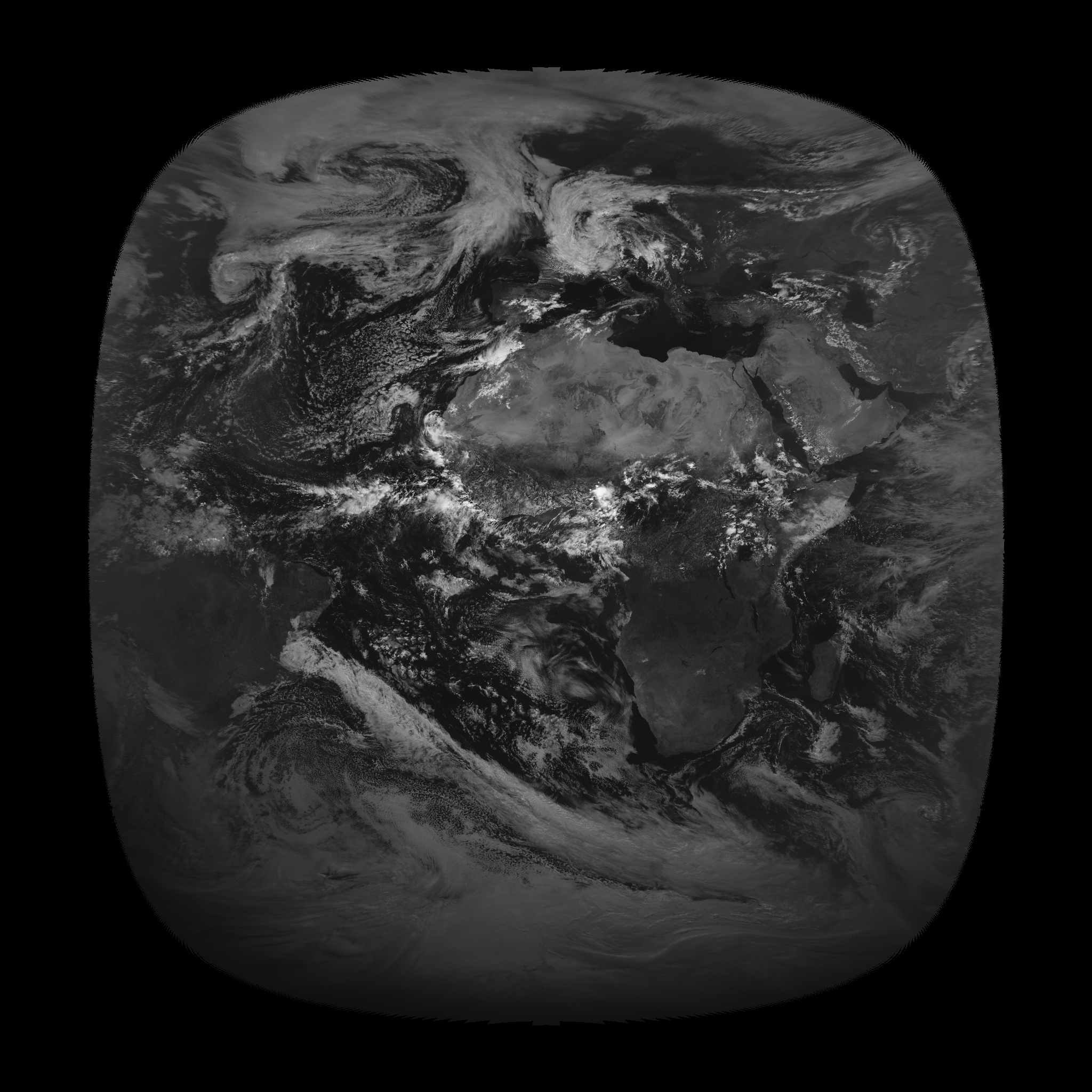
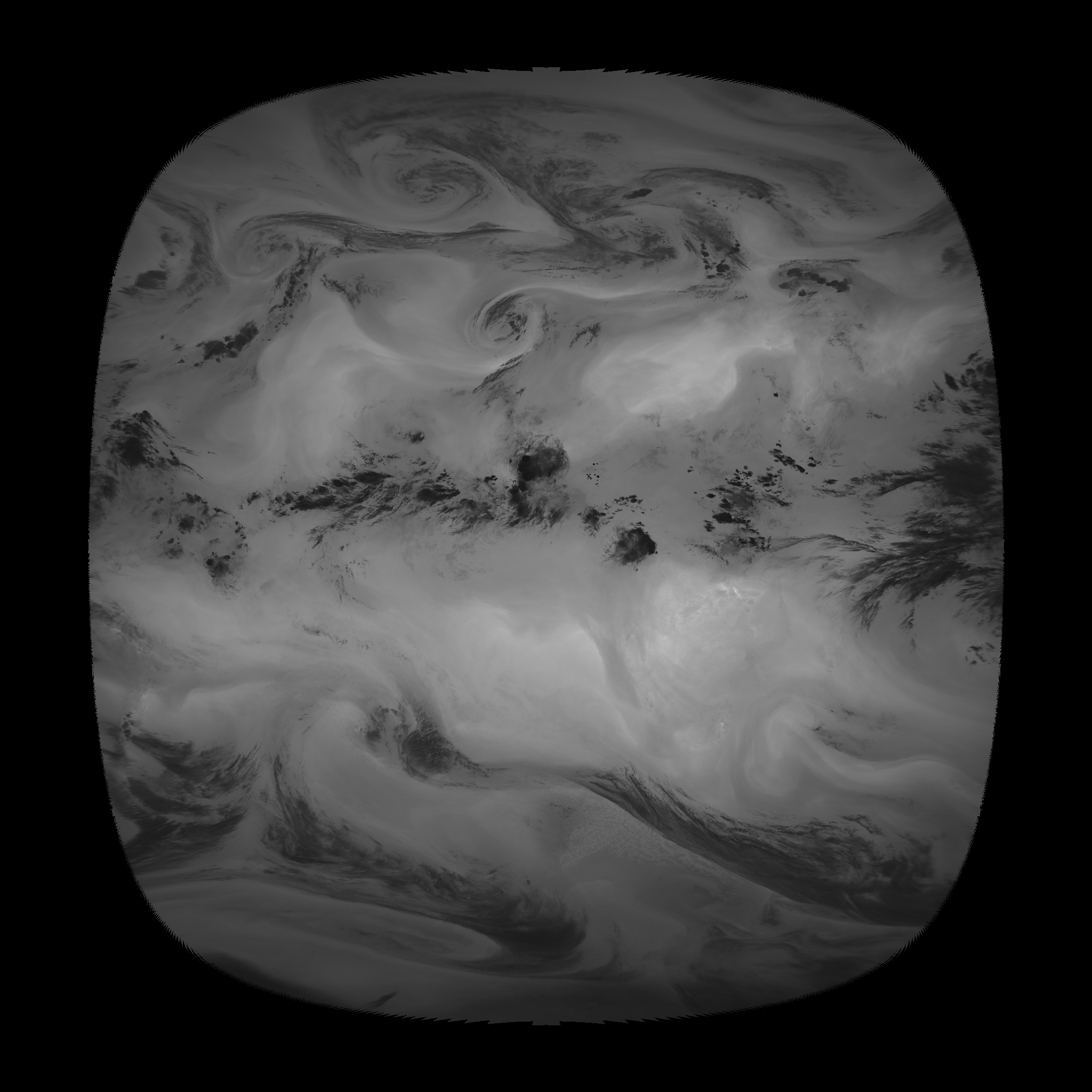
GRIP METEOSAT SECOND GENERATION (MSG) IMAGE DATA V1 recent views
National Aeronautics and Space Administration —
The GRIP Meteosat Second Generation (MSG) Image Data was collected during the Genesis and Rapid Intensification Processes (GRIP) experiment from August 15, 2010 to... -
Federal
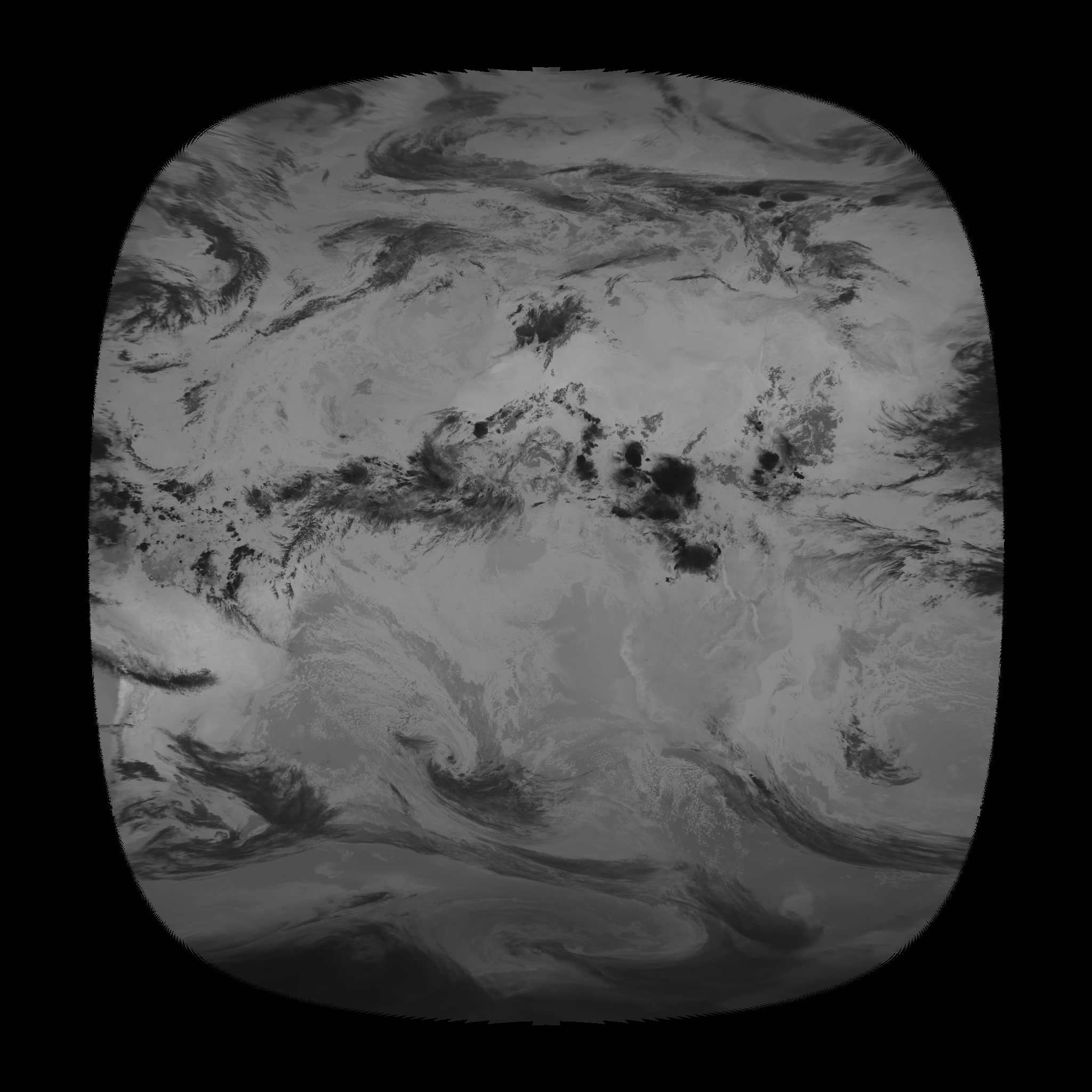
CAMEX-3 GOES-8 PRODUCTS V1 recent views
National Aeronautics and Space Administration —
In support of the third Convection and Moisture Experiment (CAMEX-3), imagery from the Geostationary Operational Environmental Satellite 8 (GOES-8) was collected and... -
Federal
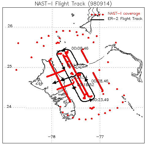
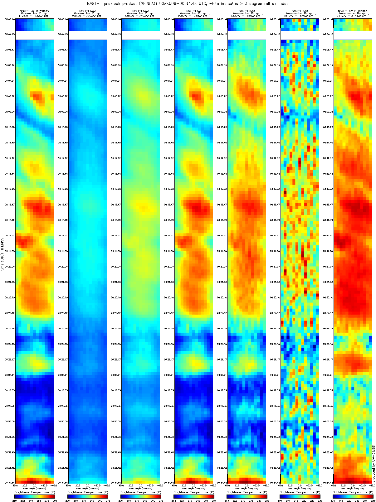
CAMEX-3 NAST-I RADIANCE PRODUCTS V1 recent views
National Aeronautics and Space Administration —
The National Polar-orbiting Operational Environmental Satellite System (NPOESS) Atmospheric Sounding Testbed (NAST) is a suite of airborne infrared and microwave... -
Federal
GOES-R PLT Airborne Visible/Infrared Imaging Spectrometer (AVIRIS) V1 recent views
National Aeronautics and Space Administration —
The GOES-R PLT Airborne Visible/Infrared Imaging Spectrometer (AVIRIS) dataset consists of radiance, reflectance, water phase, and navigation data delivered by the... -
Federal
CAMEX-3 MULTISPECTRAL ATMOSPHERIC MAPPING SENSOR (MAMS) V1 recent views
National Aeronautics and Space Administration —
The CAMEX-3 Multispectral Atmospheric Mapping Sensor (MAMS) dataset was collected by the Multispectral Atmospheric Mapping Sensor (MAMS), which is a multispectral... -
Federal
GPM Ground Validation Duke Microwave Radiometer (MWR) IPHEx V1 recent views
National Aeronautics and Space Administration —
The GPM Ground Validation Duke Microwave Radiometer (MWR) IPHEx dataset consists of data collected by the MWR, which is a sensitive microwave radiometer that detects...

Official websites use .gov
A
.gov website belongs to an official government
organization in the United States.
Secure .gov websites use HTTPS
A
lock (
) or https:// means you’ve safely connected to
the .gov website. Share sensitive information only on official,
secure websites.