
-
Federal
GPM DPR Ku-band Received Power L1B 1.5 hours 5 km V07 (GPM_PRL1KU) at GES DISC
National Aeronautics and Space Administration —
Version 07 is the current version of the data set. Older versions are no longer available and have been superseded by Version 07. This product contains the calibrated... -
Federal
SMAP Enhanced L3 Radiometer Global and Polar Grid Daily 9 km EASE-Grid Soil Moisture V006
National Aeronautics and Space Administration —
This enhanced Level-3 (L3) soil moisture product provides a composite of daily estimates of global land surface conditions retrieved by the Soil Moisture Active... -
Federal
Sounder SIPS: Suomi NPP CrIMSS Level 2 CLIMCAPS Full Spectral Resolution: Cloud Cleared Radiances V2 at GES DISC
National Aeronautics and Space Administration —
The CLIMCAPS (Community Long-term Infrared Microwave Coupled Product System) algorithm is used to analyze data from the Cross-track Infrared Sounder/Advanced... -
Federal
TOVS GLA MONTHLY GRIDS from NOAA-10 V01 (TOVSAMNG) at GES DISC
National Aeronautics and Space Administration —
This dataset (TOVSAMNG) contains the TIROS Operational Vertical Sounder (TOVS) level 3 geophysical parameters derived using data from NOAA-10 and the physical... -
Federal
AMSR-E/AMSR2 Unified L3 Daily 6.25 km Polar Gridded 89 GHz Brightness Temperatures V001
National Aeronautics and Space Administration —
This data set reports 6.25 km resolution, horizontally and vertically polarized average daily 89.0 GHz brightness temperatures for the Advanced Microwave Scanning... -
Federal
AMSR-E/Aqua L2A Global Swath Spatially-Resampled Brightness Temperatures V004
National Aeronautics and Space Administration —
The AMSR-E Level-2A product (AE_L2A) contains daily 50 minute half-orbit swath brightness temperatures for six channels ranging from 6.9 GHz through 89 GHz. Data are... -
Federal
SMAPVEX12 PALS Soil Moisture Data V001
National Aeronautics and Space Administration —
This data set contains soil moisture data obtained by the Passive Active L-band System (PALS) aircraft instrument. The data were collected as part of SMAPVEX12, the... -
Federal
TROPICS06 L1B Orbital Geolocated Native-Resolution Brightness Temperatures V1.0
National Aeronautics and Space Administration —
The "Time-Resolved Observations of Precipitation structure and storm Intensity with a Constellation of Smallsats" (TROPICS) mission has a goal of providing nearly... -
Federal
TROPICS05 L1B Orbital Geolocated Native-Resolution Brightness Temperatures V0.2
National Aeronautics and Space Administration —
The "Time-Resolved Observations of Precipitation structure and storm Intensity with a Constellation of Smallsats" (TROPICS) mission has a goal of providing nearly... -
Federal
AMSR-E/AMSR2 Unified L3 Daily 12.5 km Brightness Temperatures, Sea Ice Concentration, Motion & Snow Depth Polar Grids V001
National Aeronautics and Space Administration —
This data set reports average daily horizontally and vertically polarized brightness temperatures; sea ice concentrations; and snow depths over sea ice on 12.5 km... -
Federal
CLASIC07 PALS Brightness Temperature Data V001
National Aeronautics and Space Administration —
This data set contains brightness temperature data obtained by the Passive Active L-band System (PALS) microwave aircraft radiometer instrument as part of the Cloud... -
Federal
SMAP Enhanced L2 Radiometer Half-Orbit 9 km EASE-Grid Soil Moisture V006
National Aeronautics and Space Administration —
This enhanced Level-2 (L2) product contains calibrated, geolocated, brightness temperatures acquired by the Soil Moisture Active Passive (SMAP) radiometer during 6:00... -
Federal
SMAPVEX16 Manitoba PALS Brightness Temperature and Soil Moisture Data V001
National Aeronautics and Space Administration —
This product contains data derived from permanent in situ soil stations and observations by the Passive Active L-band System (PALS) microwave aircraft instrument. The... -
Federal
SMAP L3 Radiometer Global Daily 36 km EASE-Grid Soil Moisture V009
National Aeronautics and Space Administration —
This Level-3 (L3) soil moisture product provides a composite of daily estimates of global land surface conditions retrieved by the Soil Moisture Active Passive (SMAP)... -
Federal
SMAP L3 Radiometer Global Daily 36 km EASE-Grid Soil Moisture V009
National Aeronautics and Space Administration —
This Level-3 (L3) soil moisture product provides a composite of daily estimates of global land surface conditions retrieved by the Soil Moisture Active Passive (SMAP)... -
Federal
TROPICS07 L2B Neural-network Atmospheric Vertical Temperature & Moisture Profiles V0.2
National Aeronautics and Space Administration —
The "Time-Resolved Observations of Precipitation structure and storm Intensity with a Constellation of Smallsats" (TROPICS) mission has a goal of providing nearly... -
Federal
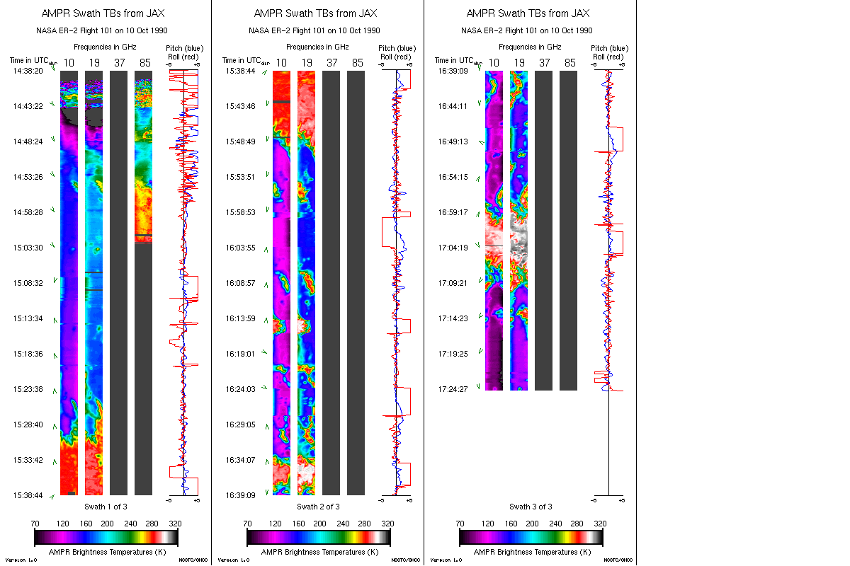
AMPR JACKSONVILLE BRIGHTNESS TEMPERATURE (TB) V2
National Aeronautics and Space Administration —
The Advanced Microwave Precipitation Radiometer (AMPR) was deployed in Jacksonville, FL for the initial AMPR instrument validation. AMPR data were collected at four... -
Federal
SMAP/SMOS L3 Radiometer 9 km EASE-Grid Soil Moisture V001
National Aeronautics and Space Administration —
The Soil Moisture Active Passive (SMAP, launched in 2015) and the Soil Moisture and Ocean Salinity (SMOS, launched in 2009) missions are each L-band satellites that... -
Federal
SWOT Level 2 Radiometer Brightness Temperatures and Troposphere Operational Data Product Version 1.0
National Aeronautics and Space Administration —
The SWOT Level 2 Radiometer Brightness Temperatures and Troposphere Operational Geophysical Data Record (OGDR) Version 1.0 dataset produced by the Surface Water and...

Official websites use .gov
A
.gov website belongs to an official government
organization in the United States.
Secure .gov websites use HTTPS
A
lock (
) or https:// means you’ve safely connected to
the .gov website. Share sensitive information only on official,
secure websites.