
-
Federal
NACP Integrated Wildland and Cropland 30-m Fuel Characteristics Map, U.S.A., 2010
National Aeronautics and Space Administration —
The data set provides a 30-m comprehensive fuelbed characteristics map for both the wildland and cropland areas of the conterminous United States (CONUS) for 2010.... -
Federal
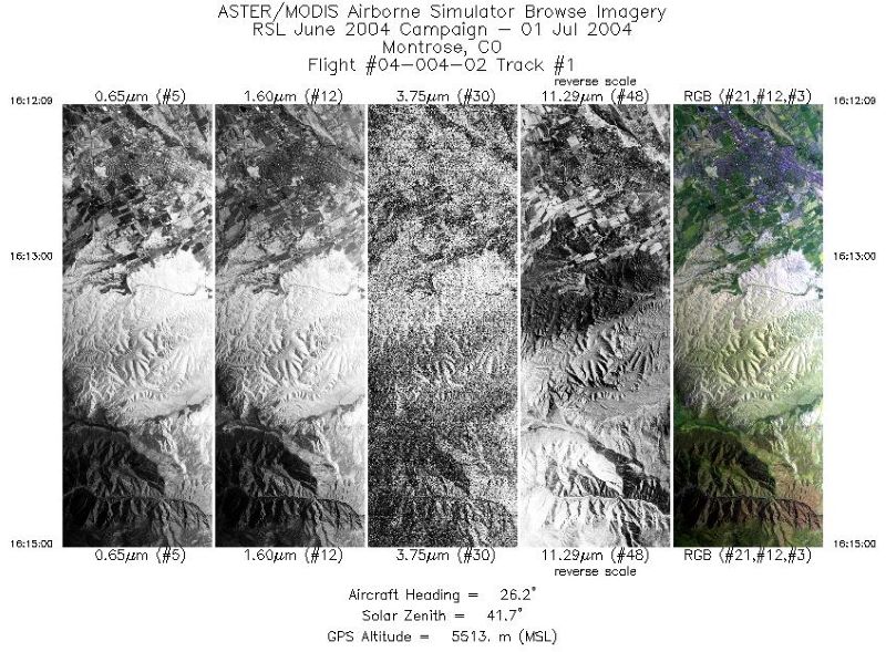
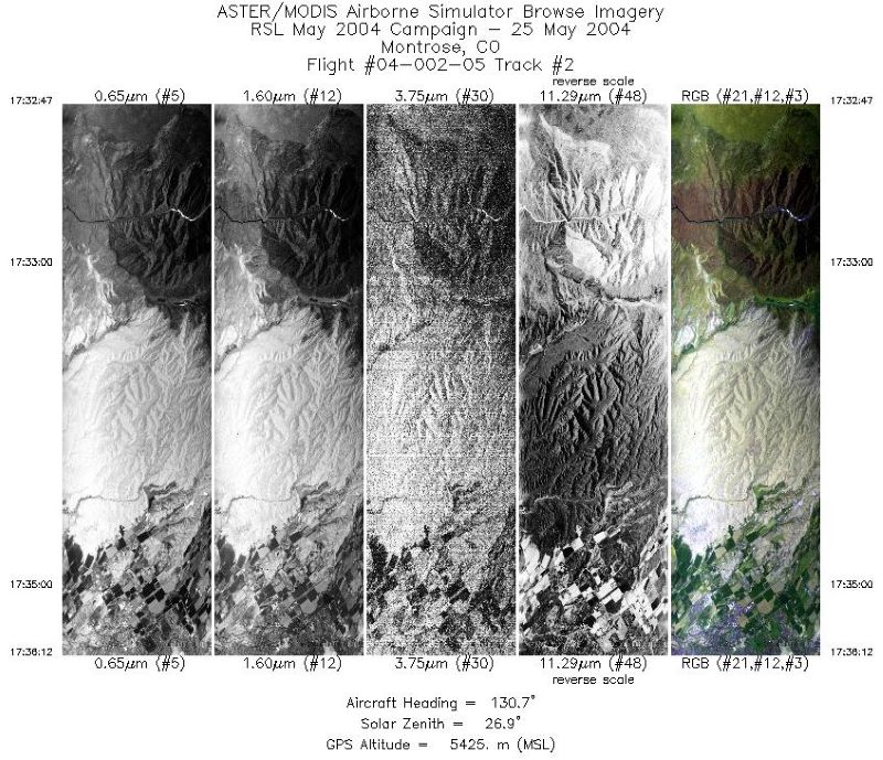
MASTER: Geological substrate mapping, Utah-Colorado, June, 2004
National Aeronautics and Space Administration —
This dataset includes Level 1B (L1B) data products from the MODIS/ASTER Airborne Simulator (MASTER) instrument. The spectral data were collected during two flights... -
Federal
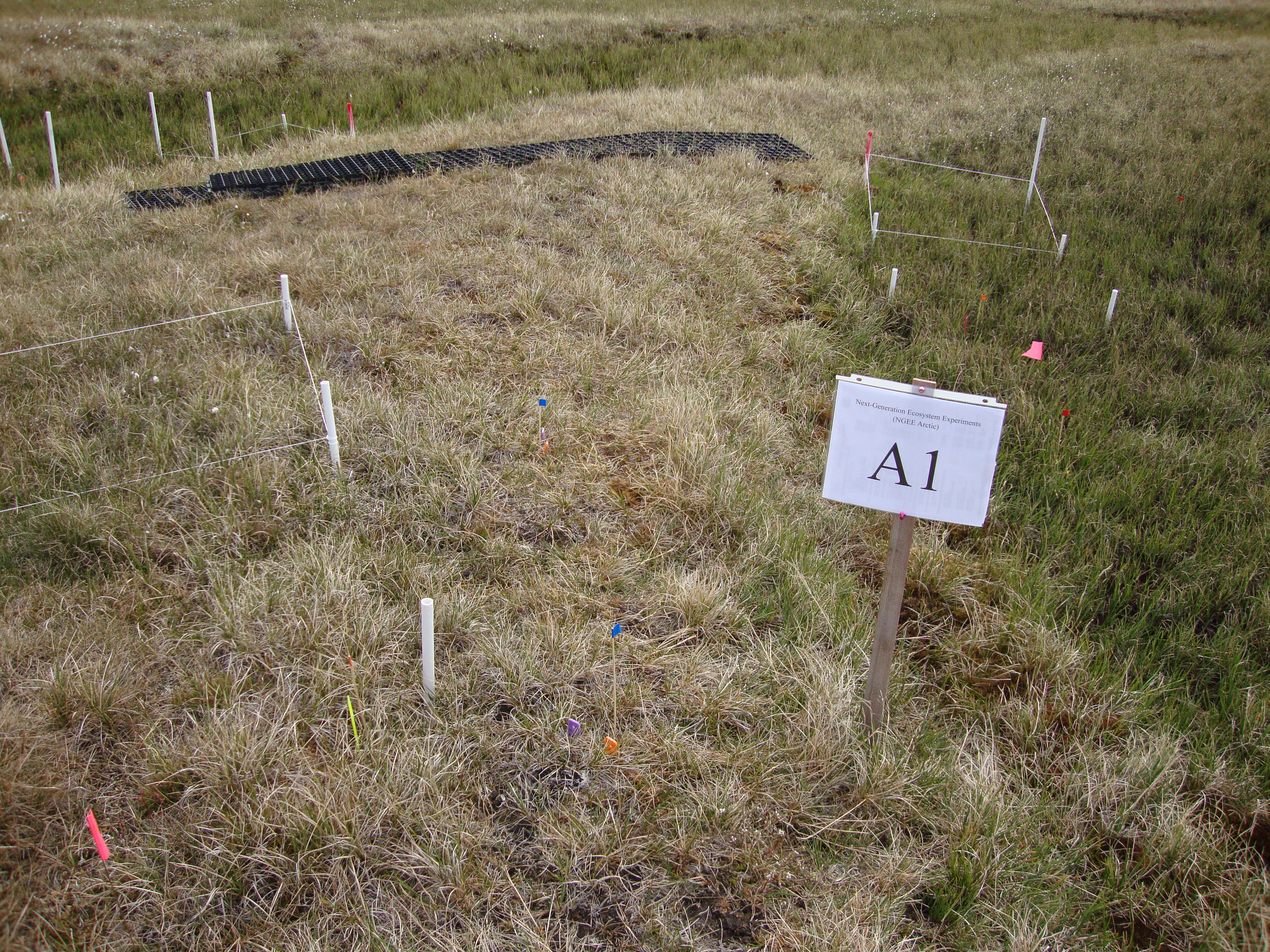
Arctic Vegetation Plots for NGEE-Arctic at Barrow, Alaska, 2012
National Aeronautics and Space Administration —
This data set provides vegetation cover and environmental plot data collected on the Barrow Environmental Observatory (BEO), Barrow, Alaska in 2012. Forty-eight 1 x 1... -
Federal
Tidal Wetland Soil Carbon Stocks for the Conterminous United States, 2006-2010
National Aeronautics and Space Administration —
This dataset provides modeled estimates of soil carbon stocks for tidal wetland areas of the Conterminous United States (CONUS) for the period 2006-2010. Wetland... -
Federal
Arctic Vegetation Plots Legacy Project Barter Island and Point Barrow, Alaska, 1994
National Aeronautics and Space Administration —
This dataset provides vegetation cover and environmental plot and soil data collected at two U.S. Air Force sites at Barter Island (BI) and Point Barrow (B), on the... -
Federal
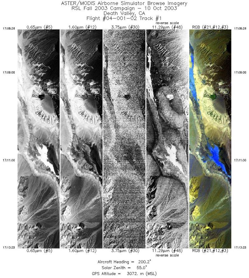
MASTER: Geological fault mapping, California-Nevada, October, 2003
National Aeronautics and Space Administration —
This dataset includes Level 1B (L1B) data products from the MODIS/ASTER Airborne Simulator (MASTER) instrument. The spectral data were collected during six flights... -
Federal
Northern and Mid-Latitude Soil Database, Version 1, R1
National Aeronautics and Space Administration —
The U.S. Department of Agriculture, Agriculture and Agri-Food Canada, the Russian Academy of Agricultural Sciences, the University of Copenhagen Institute of... -
Federal
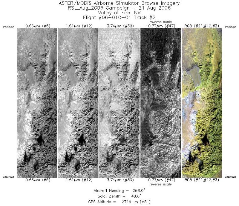
MASTER: Airborne Science, Southwest US, August 2006
National Aeronautics and Space Administration —
This dataset includes Level 1B (L1B) data products from the MODIS/ASTER Airborne Simulator (MASTER) instrument. The spectral data were collected during 18 flights... -
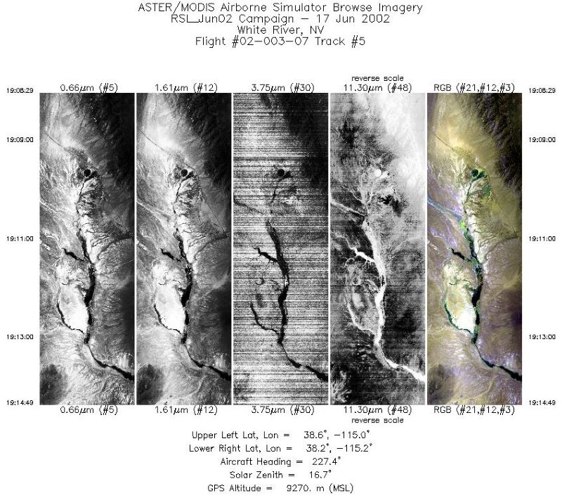
Federal
MASTER: Airborne Science, California-Nevada-Utah, June, 2002
National Aeronautics and Space Administration —
This dataset includes Level 1B (L1B) data products from the MODIS/ASTER Airborne Simulator (MASTER) instrument. The spectral data were collected during seven flights... -
Federal
MASTER: Airborne Science, southwestern US, June, 2000
National Aeronautics and Space Administration —
This dataset includes Level 1B (L1B) data products from the MODIS/ASTER Airborne Simulator (MASTER) instrument. The spectral data were collected during 12 flights... -
Federal
MASTER: Jornada Experiment - TES algorithm, Arizona-New Mexico, April-May, 2003
National Aeronautics and Space Administration —
This dataset includes Level 1B (L1B) data products from the MODIS/ASTER Airborne Simulator (MASTER) instrument. The spectral data were collected during three flights... -
Federal
MASTER: Airborne Science, California-Nevada, August, 2004
National Aeronautics and Space Administration —
This dataset includes Level 1B (L1B) data products from the MODIS/ASTER Airborne Simulator (MASTER) instrument. The spectral data were collected during one flight... -
Federal
MASTER: Jornada Experiment, Nevada-New Mexico, October 2007
National Aeronautics and Space Administration —
This dataset includes Level 1B (L1B) data products from the MODIS/ASTER Airborne Simulator (MASTER) instrument. The spectral data were collected during four flights... -
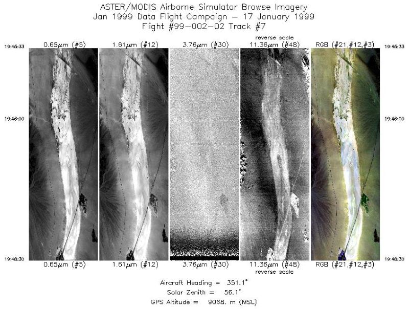
Federal
MASTER: Instrument validation, California, January, 1999
National Aeronautics and Space Administration —
This dataset includes Level 1B (L1B) data products from the MODIS/ASTER Airborne Simulator (MASTER) instrument. The spectral data were collected during a single... -
Federal
MASTER: Jornada and Sevilleta, Southwestern US, October, 2002, V2
National Aeronautics and Space Administration —
This dataset includes Level 1B (L1B) data products from the MODIS/ASTER Airborne Simulator (MASTER) instrument. The spectral data were collected during nine flights... -
Federal
MASTER: Airborne Science, California-Nevada-Arizona, May, 1999
National Aeronautics and Space Administration —
This dataset includes Level 1B (L1B) data products from the MODIS/ASTER Airborne Simulator (MASTER) instrument. The spectral data were collected during a single... -
Federal
MASTER: Airborne Science, Western US, May, 2004
National Aeronautics and Space Administration —
This dataset includes Level 1B (L1B) data products from the MODIS/ASTER Airborne Simulator (MASTER) instrument. The spectral data were collected during five flights... -
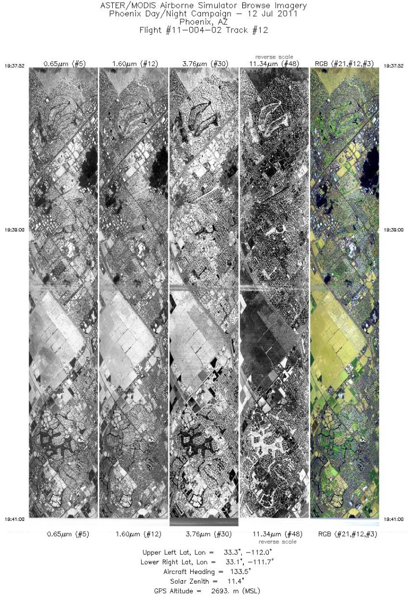
Federal
MASTER: Heat Island Airborne Study, Phoenix, Arizona, 2011
National Aeronautics and Space Administration —
This dataset includes Level 1B (L1B) data products from the MODIS/ASTER Airborne Simulator (MASTER) instrument. The spectral data were collected during five flights... -
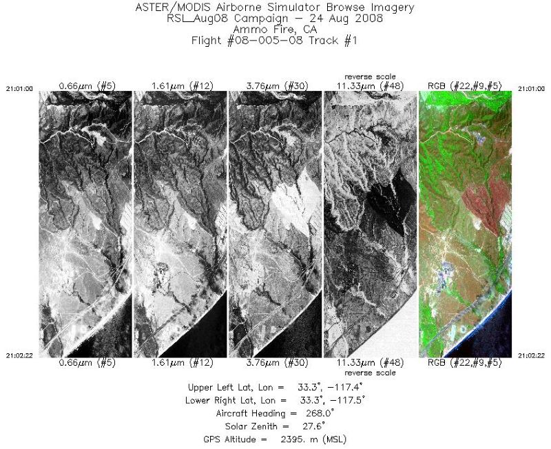
Federal
MASTER: California Fire-Burn Area Emergency Response, California, August 2008
National Aeronautics and Space Administration —
This dataset includes Level 1B (L1B) data products from the MODIS/ASTER Airborne Simulator (MASTER) instrument. The spectral data were collected during four flights...

Official websites use .gov
A
.gov website belongs to an official government
organization in the United States.
Secure .gov websites use HTTPS
A
lock (
) or https:// means you’ve safely connected to
the .gov website. Share sensitive information only on official,
secure websites.