

Get a related visualization
URL: https://daac.ornl.gov/MASTER/guides/MASTER_Flightline_Locator_Fig1.jpg
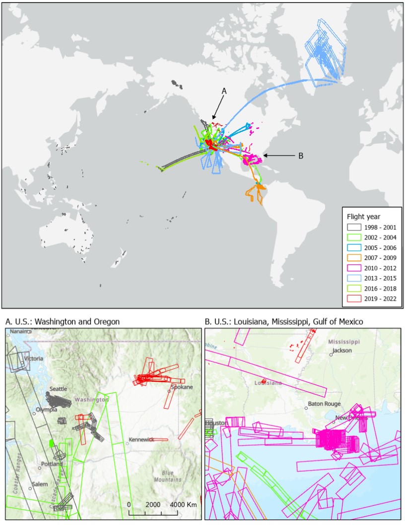
Distribution of MASTER flight lines over Greenland, North America, and Pacific Ocean for 1998 to 2022. Insets show details of flights in the U.S. over (A) Washington and Oregon and (B) Louisiana, Mississippi, and Gulf of Mexico. Footprints of acquired imagery are shown as rectangular polygons.
Source: MASTER: Flight Line Geospatial Polygons and Contextual Data
About this Resource
| Last updated | unknown |
|---|---|
| Created | unknown |
| Name | Get a related visualization |
| Format | JPEG Image File |
| License | License not specified |
| Created | 1 year ago |
| Media type | image/jpeg |
| has views | True |
| id | 37016266-4577-4964-bc0f-939df5c5159c |
| metadata modified | 1 year ago |
| package id | 50056e07-84a5-4a66-82c7-1b32c736b19a |
| position | 5 |
| state | active |