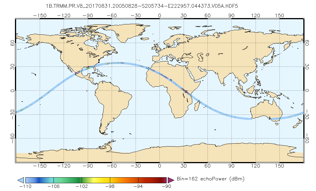
GPM PR on TRMM Echo Power L1B 1.5 hours 5 km V07 (GPM_1BPR) at GES DISC
Access & Use Information
Downloads & Resources
-
Google Scholar search resultsHTML
Search results for publications that cite this dataset by its DOI.
-
Get a related visualizationPNG
GPM_1BPR.png
-
This dataset's landing pageHTML
Access the dataset landing page from the GES DISC website.
-
Download this dataset through a directory mapHTML
Access the data via HTTPS
-
Use OPeNDAP to access the dataset's dataHTML
Access the data via the OPeNDAP protocol.
-
Download this dataset through Earthdata SearchHTML
Use the Earthdata Search to find and retrieve data sets across multiple data...
-
The dataset's project home pageHTML
TRMM Project Home Page
-
View documentation related to this datasetPDF
FILE SPECIFICATION DOCUMENT
-
View documentation related to this datasetPDF
Comparison between TRMM versions 6 and 7.
-
View documentation related to this datasetPDF
TRMM Precipitation Radar Instruction Manual (provided by JAXA)
-
View this dataset's read me documentPDF
README Document
-
View documentation related to this datasetHTML
TRMM Data Gaps
-
Landing PageLanding Page
Dates
| Metadata Created Date | November 30, 2022 |
|---|---|
| Metadata Updated Date | December 6, 2023 |
Metadata Source
- Data.json Data.json Metadata
Harvested from NASA Data.json
Other Data Resources
- Geoplatform Metadata Information
Graphic Preview

Additional Metadata
| Resource Type | Dataset |
|---|---|
| Metadata Created Date | November 30, 2022 |
| Metadata Updated Date | December 6, 2023 |
| Publisher | NASA/GSFC/SED/ESD/GCDC/GESDISC |
| Maintainer | |
| Identifier | C2264132201-GES_DISC |
| Data First Published | 2021-07-21 |
| Language | en-US |
| Data Last Modified | 2021-07-21 |
| Category | TRMM, geospatial |
| Public Access Level | public |
| Bureau Code | 026:00 |
| Metadata Context | https://project-open-data.cio.gov/v1.1/schema/catalog.jsonld |
| Metadata Catalog ID | https://data.nasa.gov/data.json |
| Schema Version | https://project-open-data.cio.gov/v1.1/schema |
| Catalog Describedby | https://project-open-data.cio.gov/v1.1/schema/catalog.json |
| Citation | Tropical Rainfall Measuring Mission (TRMM). 2021-07-29. GPM_1BPR. GPM PR on TRMM Echo Power L1B 1.5 hours 5 km V07. Greenbelt, MD. Archived by National Aeronautics and Space Administration, U.S. Government, Goddard Earth Sciences Data and Information Services Center (GES DISC). https://doi.org/10.5067/GPM/PR/TRMM/1B/07. https://disc.gsfc.nasa.gov/datacollection/GPM_1BPR_07.html. Digital Science Data. |
| Creator | Tropical Rainfall Measuring Mission (TRMM) |
| Data Presentation Form | Digital Science Data |
| Graphic Preview File | https://docserver.gesdisc.eosdis.nasa.gov/public/project/GPM/browse/GPM_1BPR.png |
| Harvest Object Id | 2753842c-a102-4a59-9538-949005707cef |
| Harvest Source Id | 58f92550-7a01-4f00-b1b2-8dc953bd598f |
| Harvest Source Title | NASA Data.json |
| Homepage URL | https://doi.org/10.5067/GPM/PR/TRMM/1B/07 |
| Metadata Type | geospatial |
| Old Spatial | -180.0 -38.0 180.0 38.0 |
| Program Code | 026:001 |
| Release Place | Greenbelt, MD |
| Series Name | GPM_1BPR |
| Source Datajson Identifier | True |
| Source Hash | 8c02e467bdb65690823cd08916f58c05b43580633b517f2fcb3ca934877106d0 |
| Source Schema Version | 1.1 |
| Spatial | |
| Temporal | 1997-12-07T00:00:00Z/2015-04-01T23:59:59.999Z |
Didn't find what you're looking for? Suggest a dataset here.


