

GPM Ground Validation Precipitation Occurrence Sensor System (POSS) LPVEx V1
Access & Use Information
Downloads & Resources
-
Google Scholar search resultsHTML
Search results for publications that cite this dataset by its DOI.
-
Download this datasetHTML
Files may be downloaded directly to your workstation from this link
-
Get a related visualizationPNG
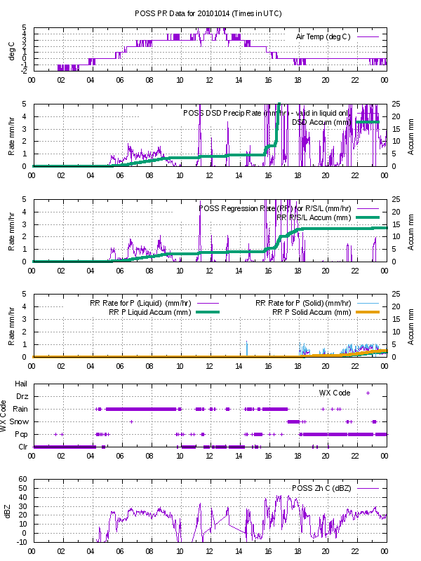
Sample Browse Image
-
View documentation related to this datasetPDF
Light Precipitation Validation Experiment (LPVEx) Science Plan
-
View documentation related to this datasetHTML
The NASA CloudSat/GPM Light Precipitation Validation Experiment (LPVEx)
-
View documentation related to this datasetPDF
The guide document contains detailed information about the dataset
-
View the primary investigator's documentation...PDF
Description of the POSS post processed “PR” file
-
View this dataset's publicationsHTML
WRF– SBM Simulations of Melting-Layer Structure in Mixed-Phase Precipitation...
-
View this dataset's publicationsHTML
Sampling Errors in the Measurement of Rainfall Parameters Using the...
-
View this dataset's publicationsHTML
Performance of the Precipitation Occurrence Sensor System as a Precipitation...
-
The dataset's project home pageHTML
LPVEx Field Campaign Project Homepage
-
Get a related visualizationHTML
N/A
-
View documentation related to this datasetHTML
Instructions for citing GHRC data
-
Landing PageLanding Page
Dates
| Metadata Created Date | December 1, 2022 |
|---|---|
| Metadata Updated Date | December 6, 2023 |
Metadata Source
- Data.json Data.json Metadata
Harvested from NASA Data.json
Graphic Preview
Additional Metadata
| Resource Type | Dataset |
|---|---|
| Metadata Created Date | December 1, 2022 |
| Metadata Updated Date | December 6, 2023 |
| Publisher | NASA/MSFC/GHRC |
| Maintainer | |
| Identifier | C1979685546-GHRC_DAAC |
| Data First Published | 2019-07-23 |
| Language | en-US |
| Data Last Modified | 2022-04-28 |
| Category | LPVEX, geospatial |
| Public Access Level | public |
| Bureau Code | 026:00 |
| Metadata Context | https://project-open-data.cio.gov/v1.1/schema/catalog.jsonld |
| Metadata Catalog ID | https://data.nasa.gov/data.json |
| Schema Version | https://project-open-data.cio.gov/v1.1/schema |
| Catalog Describedby | https://project-open-data.cio.gov/v1.1/schema/catalog.json |
| Citation | Rodriguez, Peter .2019. GPM Ground Validation Precipitation Occurrence Sensor System (POSS) LPVEx indicate subset used. Dataset available online from the NASA Global Hydrometeorology Resource Center DAAC, Huntsville, Alabama, U.S.A. DOI: http://dx.doi.org/10.5067/GPMGV/LPVEX/POSS/DATA101 |
| Graphic Preview Description | N/A |
| Graphic Preview File | https://ghrc.nsstc.nasa.gov/pub/fieldCampaigns/gpmValidation/lpvex/poss/browse/ |
| Harvest Object Id | d19d0a0b-6fc4-4d01-b90c-2f427a0f9c6f |
| Harvest Source Id | 58f92550-7a01-4f00-b1b2-8dc953bd598f |
| Harvest Source Title | NASA Data.json |
| Homepage URL | https://doi.org/10.5067/GPMGV/LPVEX/POSS/DATA101 |
| Metadata Type | geospatial |
| Old Spatial | 25.0822 60.2038 25.6248 60.4847 |
| Program Code | 026:001 |
| Source Datajson Identifier | True |
| Source Hash | 797f745aaf30e07aa4c72edf213453199bdd52c896ed094b12ec665b1846c3b5 |
| Source Schema Version | 1.1 |
| Spatial | |
| Temporal | 2010-09-17T13:49:00Z/2011-04-20T05:36:00Z |
Didn't find what you're looking for? Suggest a dataset here.