

CAMEX-3 ER-2 Doppler Radar (EDOP) V1
Access & Use Information
Downloads & Resources
-
Google Scholar search resultsHTML
Search results for publications that cite this dataset by its DOI.
-
Download this datasetHTML
Files may be downloaded directly to your workstation from this link
-
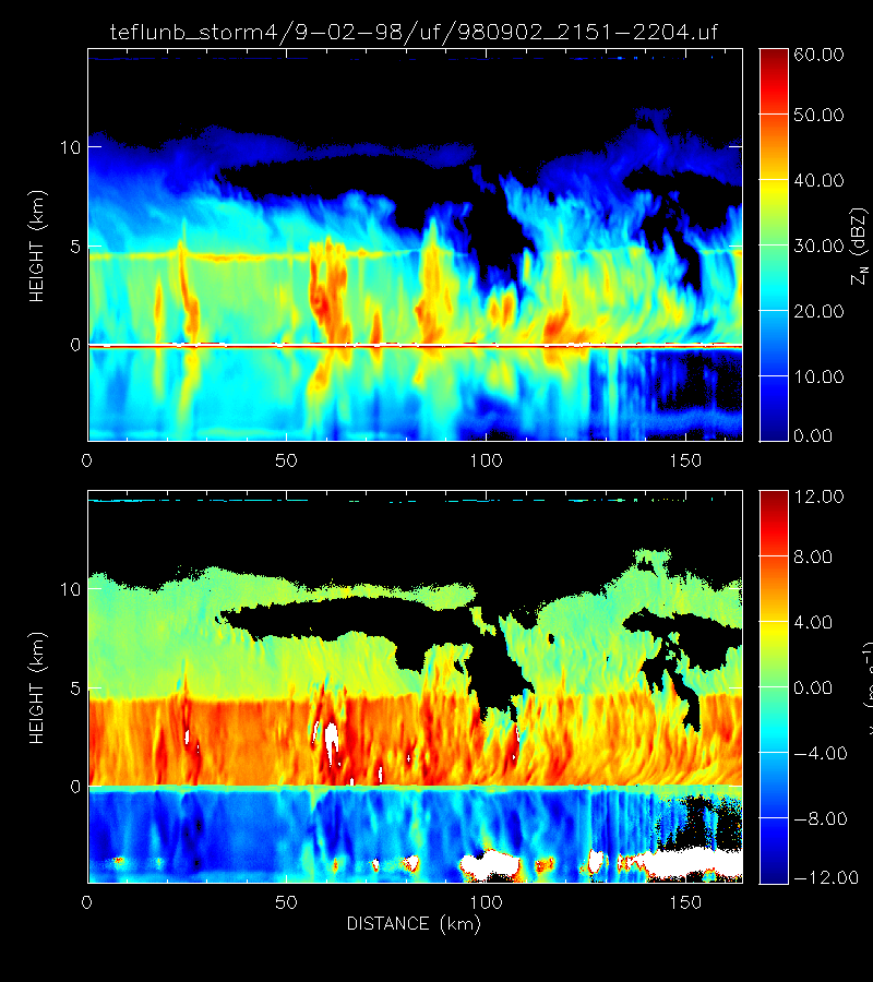
Get a related visualizationGIF
Browse Sample
-
View information related to this datasetHTML
NASA Armstrong Fact Sheet: ER-2 High-Altitude Airborne Science Aircraft
-
View documentation related to this datasetPDF
The guide document contains detailed information about the dataset
-
View this dataset's publicationsHTML
The EDOP Radar System on the High-Altitude NASA ER-2 Aircraft
-
View this dataset's publicationsHTML
ER-2 Doppler Radar (EDOP) Investigations of the Eyewall of Hurricane Bonnie...
-
View this dataset's publicationsHTML
Overview of the Convection and Moisture Experiment (CAMEX)
-
The dataset's project home pageHTML
CAMEX-3 Field Campaign Project Homepage
-
View documentation related to this datasetHTML
Instructions for citing GHRC data
-
Landing PageLanding Page
Dates
| Metadata Created Date | December 1, 2022 |
|---|---|
| Metadata Updated Date | April 10, 2025 |
Metadata Source
- Data.json Data.json Metadata
Harvested from NASA Data.json
Additional Metadata
| Resource Type | Dataset |
|---|---|
| Metadata Created Date | December 1, 2022 |
| Metadata Updated Date | April 10, 2025 |
| Publisher | NASA/MSFC/GHRC |
| Maintainer | |
| Identifier | C1995565983-GHRC_DAAC |
| Data First Published | 2019-11-27 |
| Language | en-US |
| Data Last Modified | 2025-03-31 |
| Category | CAMEX-3, geospatial |
| Public Access Level | public |
| Bureau Code | 026:00 |
| Metadata Context | https://project-open-data.cio.gov/v1.1/schema/catalog.jsonld |
| Schema Version | https://project-open-data.cio.gov/v1.1/schema |
| Catalog Describedby | https://project-open-data.cio.gov/v1.1/schema/catalog.json |
| Harvest Object Id | 80683c0b-31bd-4058-a87b-726eba7370d8 |
| Harvest Source Id | 58f92550-7a01-4f00-b1b2-8dc953bd598f |
| Harvest Source Title | NASA Data.json |
| Homepage URL | https://doi.org/10.5067/CAMEX-3/EDOP/DATA101 |
| Metadata Type | geospatial |
| Old Spatial | -89.971 13.976 -63.22 34.588 |
| Program Code | 026:001 |
| Source Datajson Identifier | True |
| Source Hash | ba92efd975b4db2b1b85579670294877ff9c8466d9b77645d0873bbbc1b378a4 |
| Source Schema Version | 1.1 |
| Spatial | |
| Temporal | 1998-08-08T16:12:00Z/1998-09-27T20:29:00Z |
Didn't find what you're looking for? Suggest a dataset here.