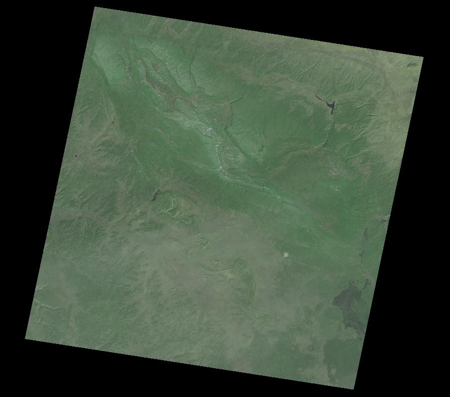
ASTER Level 1 precision terrain corrected registered at-sensor radiance V003
Access & Use Information
Downloads & Resources
-
Google Scholar search resultsHTML
Search results for publications that cite this dataset by its DOI.
-
This dataset's landing pageHTML
The LP DAAC product page provides information on Science Data Set layers and...
-
Download this dataset through a directory mapHTML
LP DAAC Data Pool provides direct access to available products via HTTPS.
-
Download this dataset through USGS Earth ExplorerHTML
11 views
USGS EarthExplorer provides users the ability to query, search, and order...
-
The dataset's project home pageHTML
The LP DAAC website provides detailed information on discovery, distribution,...
-
The dataset's project home pageHTML
The ASTER home page is maintained through NASA's Jet Propulsion Laboratory...
-
Download this dataset through Earthdata SearchHTML
Earthdata Search allows users to search, discover, visualize, refine, and...
-
Get a related visualizationJPEG
Browse image for Earthdata Search
-
View this dataset's algorithm theoretical...PDF
The ATBD provides physical theory and mathematical procedures for the...
-
View this dataset's user's guidePDF
The technical information in the User's Guide enables users to interpret and...
-
View documentation related to this datasetPDF
The ASTER Level-1T Product Specification provides a description of the data...
-
View documentation related to this datasetPDF
ASTER L1T Quick Reference Guide
-
View this dataset's user's guidePDF
The ASTER User Handbook provides in depth information on ASTER data products.
-
Landing PageLanding Page
Dates
| Metadata Created Date | November 12, 2020 |
|---|---|
| Metadata Updated Date | December 6, 2023 |
Metadata Source
- Data.json Data.json Metadata
Harvested from NASA Data.json
Graphic Preview

Additional Metadata
| Resource Type | Dataset |
|---|---|
| Metadata Created Date | November 12, 2020 |
| Metadata Updated Date | December 6, 2023 |
| Publisher | LP DAAC |
| Maintainer | |
| Identifier | C1000000320-LPDAAC_ECS |
| Data First Published | 2015-02-18 |
| Language | en-US |
| Data Last Modified | 2015-09-14 |
| Category | Terra, geospatial |
| Public Access Level | public |
| Bureau Code | 026:00 |
| Metadata Context | https://project-open-data.cio.gov/v1.1/schema/catalog.jsonld |
| Metadata Catalog ID | https://data.nasa.gov/data.json |
| Schema Version | https://project-open-data.cio.gov/v1.1/schema |
| Catalog Describedby | https://project-open-data.cio.gov/v1.1/schema/catalog.json |
| Citation | NASA LP DAAC. 2015-04-15. AST_L1T.003. ASTER Level 1 Precision Terrain Corrected Registered At-Sensor Radiance V003. Archived by National Aeronautics and Space Administration, U.S. Government, NASA EOSDIS Land Processes DAAC. https://doi.org/10.5067/ASTER/AST_L1T.003. https://doi.org/10.5067/ASTER/AST_L1T.003. The DOI landing page provides citations in APA and Chicago styles.. |
| Creator | NASA LP DAAC |
| Graphic Preview Description | Browse image for Earthdata Search |
| Graphic Preview File | https://e4ftl01.cr.usgs.gov//WORKING/BRWS/Browse.001/2018.03.08/AST_L1T_00303062018180844_20180307193746_11920_BR.2.VNIR.jpg |
| Harvest Object Id | 8beb6106-5ba3-4a1d-87a2-ece3315b5066 |
| Harvest Source Id | 58f92550-7a01-4f00-b1b2-8dc953bd598f |
| Harvest Source Title | NASA Data.json |
| Homepage URL | https://doi.org/10.5067/ASTER/AST_L1T.003 |
| Metadata Type | geospatial |
| Old Spatial | -180.0 -90.0 180.0 90.0 |
| Program Code | 026:001 |
| Series Name | AST_L1T.003 |
| Source Datajson Identifier | True |
| Source Hash | 0e3d46c1a6df62fb0beedbf01dd9987591047d1149d30c9b6a79de7556b1b3e5 |
| Source Schema Version | 1.1 |
| Spatial | |
| Temporal | 2000-03-04T00:00:00Z/2022-01-17T00:00:00Z |
Didn't find what you're looking for? Suggest a dataset here.

