

Data Information (PNG)
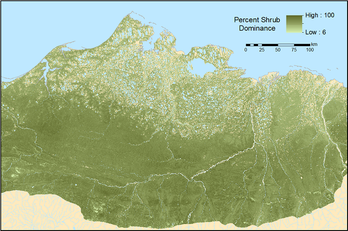
URL: https://daac.ornl.gov/ABOVE/guides/Maps_AGB_North_Slope_AK_Fig1.png
Maps_AGB_North_Slope_AK_Fig1.png
Source: ABoVE: Gridded 30-m Aboveground Biomass, Shrub Dominance, North Slope, AK, 2007-2016
About this Resource
| Last updated | unknown |
|---|---|
| Created | unknown |
| Name | Data Information (PNG) |
| Format | PNG Image File |
| License | License not specified |
| Created | 2 months ago |
| Media type | image/png |
| has views | False |
| id | f99c725b-91df-473b-8c5f-72c562095236 |
| metadata modified | 2 months ago |
| package id | 0bfbbc43-124b-4747-b9dd-7a3226adb7ea |
| position | 3 |
| state | active |
| tracking summary | {'total': 0, 'recent': 0} |