

ABoVE: Gridded 30-m Aboveground Biomass, Shrub Dominance, North Slope, AK, 2007-2016
Access & Use Information
Public: This dataset is intended for public access and use.
License: No license information was provided. If this work was prepared by an officer or employee of the United States government as part of that person's official duties it is considered a U.S. Government Work.
Downloads & Resources
-
Data Information (Unknown Format)BIN
-
Data Information (HTML)HTML
-
Data Information (ZIP)ZIP
Maps_AGB_North_Slope_AK_1565.zip
-
Data Information (PNG)PNG
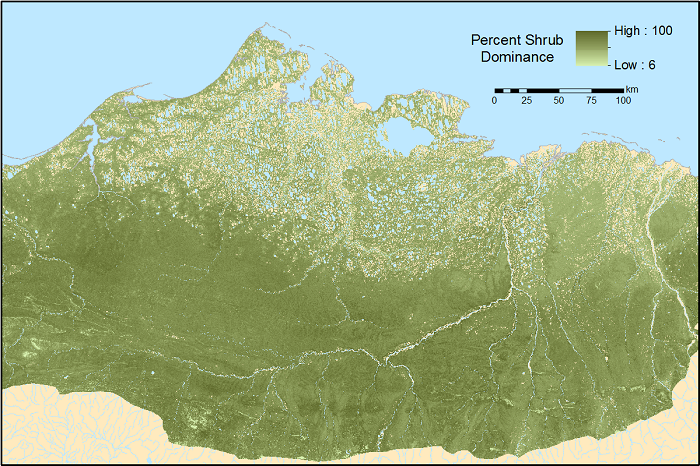
Maps_AGB_North_Slope_AK_Fig1.png
-
Data Information (Unknown Format)BIN
-
Data Information (Unknown Format)BIN
tundra_biomass_harvest_sites.kmz
-
Data Information (PDF)PDF
Maps_AGB_North_Slope_AK.pdf
-
Data Information (CSV)CSV
Maps_AGB_North_Slope_AK_FieldSites.csv
-
Landing PageLanding Page
Dates
| Metadata Created Date | April 11, 2025 |
|---|---|
| Metadata Updated Date | September 19, 2025 |
Metadata Source
- Data.json Data.json Metadata
Harvested from NASA Data.json
Additional Metadata
| Resource Type | Dataset |
|---|---|
| Metadata Created Date | April 11, 2025 |
| Metadata Updated Date | September 19, 2025 |
| Publisher | ORNL_DAAC |
| Maintainer | |
| Identifier | 10.3334/ORNLDAAC/1565 |
| Data Last Modified | 2025-09-10 |
| Category | Earth Science |
| Public Access Level | public |
| Bureau Code | 026:00 |
| Metadata Context | https://project-open-data.cio.gov/v1.1/schema/catalog.jsonld |
| Schema Version | https://project-open-data.cio.gov/v1.1/schema |
| Catalog Describedby | https://project-open-data.cio.gov/v1.1/schema/catalog.json |
| Harvest Object Id | ff2b656f-ee41-4ad4-b638-bffbca89717a |
| Harvest Source Id | 58f92550-7a01-4f00-b1b2-8dc953bd598f |
| Harvest Source Title | NASA Data.json |
| Homepage URL | https://search.earthdata.nasa.gov/search?q=Maps_AGB_North_Slope_AK_1565&ac=true |
| Old Spatial | {"WestBoundingCoordinate":-168.576,"NorthBoundingCoordinate":76.226,"EastBoundingCoordinate":-111.551,"SouthBoundingCoordinate":64.7265},"CARTESIAN" |
| Program Code | 026:000 |
| Source Datajson Identifier | True |
| Source Hash | b267c4a2a111d25925108cc23fef7a8a4709f46b5b0aa36b6e3921a28baf3b6f |
| Source Schema Version | 1.1 |
| Spatial | |
| Temporal | 2007-06-01/2007-06-01 |
Didn't find what you're looking for? Suggest a dataset here.