
-
Federal
Gulf sturgeon Critical Habitat Units 1-7
National Oceanic and Atmospheric Administration, Department of Commerce —
These data represent the critical habitat for Gulf Sturgeon as designated by Federal Register Vol. 68, No. 53, Wednesday, March 19, 2003, Rules and Regulations. -
Federal
Estuarine Salinity Zones in US East Coast, Gulf of Mexico, and US West Coast from 1999-01-01 to 1999-12-31 (NCEI Accession 0127396)
National Oceanic and Atmospheric Administration, Department of Commerce —
These unprojected (geographic coordinates) 3-Zone Average Annual Salinity Digital Geographies are based on analysis of long-term salinity data for 147 estuaries of... -
Federal
Pensacola Bay (G130) Bathymetric Digital Elevation Model - NOAA/NOS Estuarine Bathymetry
National Oceanic and Atmospheric Administration, Department of Commerce —
A 1/3 arc-second Mean Lower Low Water bathymetric DEM of NOS hydrographic survey data in Pensacola Bay -
Federal
Shoreline Mapping Program of PENSACOLA BAY, FL, FL0703A NGDA
National Oceanic and Atmospheric Administration, Department of Commerce —
These data provide an accurate high-resolution shoreline compiled from imagery of PENSACOLA BAY, FL . This vector shoreline data is based on an office interpretation... -
Federal
National Status and Trends, Benthic Surveillance Project Fluorescent Aromatic Compounds (FAC) Data, 1984-1991, National Centers for Coastal Ocean Science
National Oceanic and Atmospheric Administration, Department of Commerce —
The National Status and Trends (NSandT) Benthic Surveillance Fluorescent Aromatic Compounds (FAC) file reports the trace concentrations of Fluorescent Aromatic... -
Federal
National Status and Trends, Benthic Surveillance Project Sites, 1984-1992, National Centers for Coastal Ocean Science
National Oceanic and Atmospheric Administration, Department of Commerce —
This data set reports information regarding the nominal sampling locations for the National Status and Trends Benthic Surveillance Project sites. One record is... -
Federal
H06635: NOS Hydrographic Survey , 1940-12-31
National Oceanic and Atmospheric Administration, Department of Commerce —
The National Oceanic and Atmospheric Administration (NOAA) has the statutory mandate to collect hydrographic data in support of nautical chart compilation for safe... -
Federal
H02217: NOS Hydrographic Survey
National Oceanic and Atmospheric Administration, Department of Commerce —
The National Oceanic and Atmospheric Administration (NOAA) has the statutory mandate to collect hydrographic data in support of nautical chart compilation for safe... -
Federal
H06656: NOS Hydrographic Survey , 1940-12-31
National Oceanic and Atmospheric Administration, Department of Commerce —
The National Oceanic and Atmospheric Administration (NOAA) has the statutory mandate to collect hydrographic data in support of nautical chart compilation for safe... -
Federal
Age and Growth of Spotted Sea Trout in the Gulf of Mexico from 1994 to 1996 (NCEI Accession 0156765)
National Oceanic and Atmospheric Administration, Department of Commerce —
These data sets contain raw and processed data, including collection location (bay) date, individual data for all trout collected, including FL, TL, whole weight,... -
Federal
2010 NOAA Ortho-rectified Mosaic from Color Aerial Imagery of Pensacola Bay, FL - FL0703 - Phase II - Pensacola Bay (NODC Accession 0074383)
National Oceanic and Atmospheric Administration, Department of Commerce —
Data set contains 2.5km by 2.5km digital orthophotography mosaics. The digital orthophotos in this series have a nominal ground resolution of 1 meter. The digital... -
Federal
H10460: NOS Hydrographic Survey , Pensacola and Perdido Bays, Florida and Alabama, 1993-08-02
National Oceanic and Atmospheric Administration, Department of Commerce —
The National Oceanic and Atmospheric Administration (NOAA) has the statutory mandate to collect hydrographic data in support of nautical chart compilation for safe... -
Federal
H11765: NOS Hydrographic Survey , Pensacola, Florida, 2009-04-03
National Oceanic and Atmospheric Administration, Department of Commerce —
The National Oceanic and Atmospheric Administration (NOAA) has the statutory mandate to collect hydrographic data in support of nautical chart compilation for safe... -
Federal
National Status and Trends, Benthic Surveillance Project Aryl Hydrocarbon Hydrolase (AHH) Data, 1988-1992, National Centers for Coastal Ocean Science
National Oceanic and Atmospheric Administration, Department of Commerce —
In order to determine the current status of and detect any long-term trends in the environmental quality of U.S. nearshore waters, NOAA initiated the National Status... -
Federal
H06555: NOS Hydrographic Survey , 1940-12-31
National Oceanic and Atmospheric Administration, Department of Commerce —
The National Oceanic and Atmospheric Administration (NOAA) has the statutory mandate to collect hydrographic data in support of nautical chart compilation for safe... -
Federal
National Status and Trends, Benthic Surveillance Project Sites, 1984-1992, National Centers for Coastal Ocean Science
National Oceanic and Atmospheric Administration, Department of Commerce —
This data set reports information regarding the nominal sampling locations for the National Status and Trends Benthic Surveillance Project sites. One record is... -
Federal
National Status and Trends, Benthic Surveillance Project DNA-Xenobiotic Adducts Data, 1991, National Centers for Coastal Ocean Science
National Oceanic and Atmospheric Administration, Department of Commerce —
In order to determine the current status of and to detect any long-term trends in the environmental quality of U.S. nearshore waters, NOAA initiated the National... -
Federal
Shoreline Data Rescue Project of Pensacola Bay, Florida, FL1934A NGDA
National Oceanic and Atmospheric Administration, Department of Commerce —
These data were automated to provide an accurate high-resolution historical shoreline of Pensacola Bay, Florida suitable as a geographic information system (GIS) data... -
Federal
National Status and Trends, Benthic Surveillance Project DNA-Xenobiotic Adducts Data, 1991, National Centers for Coastal Ocean Science
National Oceanic and Atmospheric Administration, Department of Commerce —
In order to determine the current status of and to detect any long-term trends in the environmental quality of U.S. nearshore waters, NOAA initiated the National... -
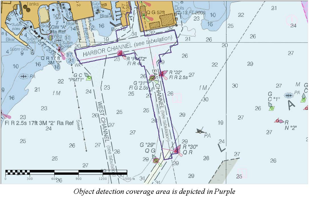
Federal
D00262: NOS Hydrographic Survey , 2018-10-13
National Oceanic and Atmospheric Administration, Department of Commerce —
The National Oceanic and Atmospheric Administration (NOAA) has the statutory mandate to collect hydrographic data in support of nautical chart compilation for safe...

Official websites use .gov
A
.gov website belongs to an official government
organization in the United States.
Secure .gov websites use HTTPS
A
lock (
) or https:// means you’ve safely connected to
the .gov website. Share sensitive information only on official,
secure websites.
.jpg)
.jpg)