

30 datasets found
-
Federal
Radiometer data from LZ40 in Lake Okeechobee, Florida, 2021
Department of the Interior —
A four-component (incoming and outgoing shortwave and longwave radiation) radiometer (model CNR1) was installed on a monitoring station (LZ40) constructed by the... -
Federal
Evapotranspiration within Blue Cypress Marsh, Vero Beach, Florida, 2015 to 2018
Department of the Interior —
The dataset consists of a table in Excel format of daily evapotranspiration (ET) from 12/1/2015 to 6/13/2018 at ET station within the Blue Cypress Marsh Conservation... -
Federal
Selected evapotranspiration data, Amargosa Desert Research Site, Nye County, Nevada, 7/5/2011-1/1/2017
Department of the Interior —
Selected evapotranspiration data were collected from 7/5/2011 to 1/1/2017 at the Amargosa Desert Research Site (ADRS, https://nevada.usgs.gov/adrs/) in support of... -
Federal
Evapotranspiration (ET) at Immokalee row crop site, 30-minute data, Collier County, Florida, September 22, 2008 - January 8, 2009
Department of the Interior —
The data set consists of 30-minute evapotranspiration measurements made at the U.S. Geological Survey Immokalee row crop climate station beginning September 22, 2008... -
Federal
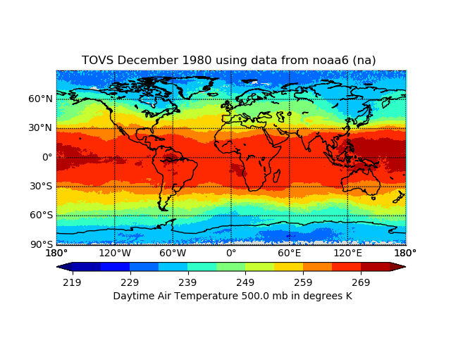
TOVS GLA MONTHLY GRIDS from NOAA-6 02 (TOVSAMNA) at GES DISC
National Aeronautics and Space Administration —
This dataset (TOVSAMNA) contains the TIROS Operational Vertical Sounder (TOVS) level 3 geophysical parameters derived using data from NOAA-6 and the physical... -
Federal
Global gray-sky dT: the inverse of the surface psychrometric constant parameter in the SSEBop evapotranspiration model
Department of the Interior —
The surface psychrometric constant (spc) is a key model parameter in actual evapotranspiration modeling using the Operational Simplified Surface Energy Balance... -
Federal
SGP97 Surface: NOAA/ATDD Little Washita, Oklahoma Long Term Flux Site
Department of Agriculture —
The Southern Great Plains 1997 (SGP97) Hydrology Experiment originated from an interdisciplinary investigation, "Soil Moisture Mapping at Satellite Temporal and... -
Federal
Climate Impact Meteorological Stations (CLIM-MET) data from the Mojave National Preserve, California (2016-2022)
Department of the Interior —
These CLIM-MET stations are meteorological/geological stations that is designed to function in remote areas for long periods of time without human intervention. These... -
Federal
Evapotranspiration Data within Blue Cypress Marsh, Vero Beach, Florida, 2021
Department of the Interior —
The dataset includes a table in comma delimited format of daily evapotranspiration (ET) from 1/1/2021 to 12/31/2021 from an ET station within the Blue Cypress Marsh... -
Federal
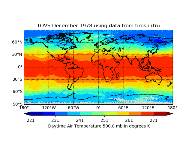
TOVS GLA MONTHLY GRIDS from TIROS-N 02 (TOVSAMTN) at GES DISC
National Aeronautics and Space Administration —
This dataset (TOVSAMTN) contains the TIROS Operational Vertical Sounder (TOVS) level 3 geophysical parameters derived using data from TIROS-N and the physical... -
Federal
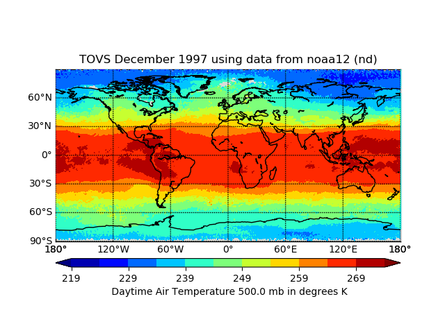
TOVS GLA MONTHLY GRIDS from NOAA-12 02 (TOVSAMND) at GES DISCc
National Aeronautics and Space Administration —
This dataset (TOVSAMND) contains the TIROS Operational Vertical Sounder (TOVS) level 3 geophysical parameters derived using data from NOAA-12 and the physical... -
Federal
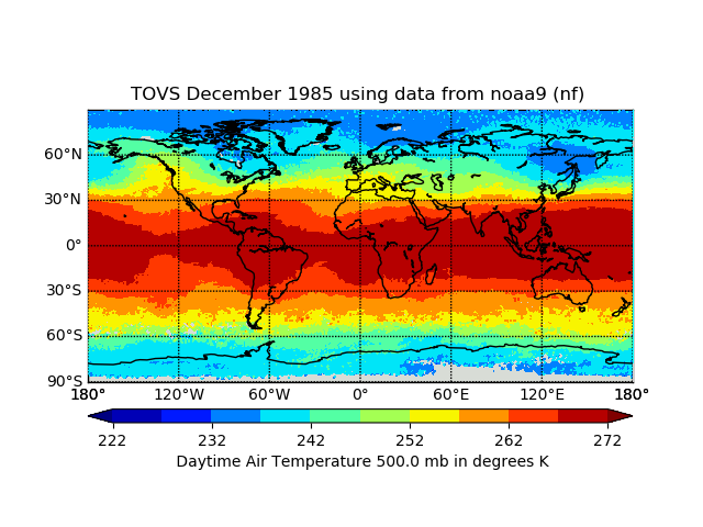
TOVS GLA MONTHLY GRIDS from NOAA-9 02 (TOVSAMNF) at GES DISC
National Aeronautics and Space Administration —
This dataset (TOVSAMNF) contains the TIROS Operational Vertical Sounder (TOVS) level 3 geophysical parameters derived using data from NOAA-9 and the physical... -
Federal
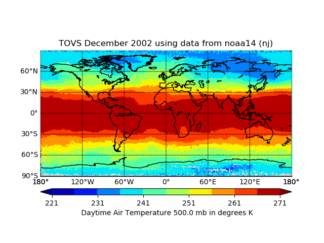
TOVS GLA MONTHLY GRIDS from NOAA-14 02 (TOVSAMNJ) at GES DISC
National Aeronautics and Space Administration —
This dataset (TOVSAMNJ) contains the TIROS Operational Vertical Sounder (TOVS) level 3 geophysical parameters derived using data from NOAA-14 and the physical... -
Federal
Evapotranspiration within Blue Cypress Marsh, Indian River County, Florida, 2018 to 2020
Department of the Interior —
The dataset includes a table in comma delimited format of daily evapotranspiration (ET) from 6/14/2018 to 12/31/2020 from an ET station within the Blue Cypress Marsh... -
Federal
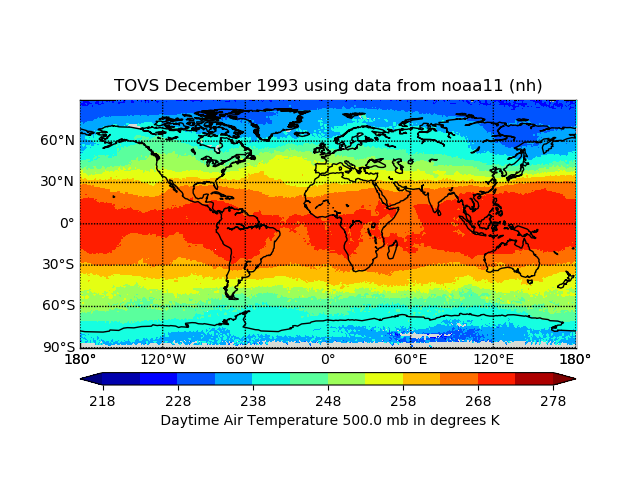
TOVS GLA MONTHLY GRIDS from NOAA-11 02 (TOVSAMNH) at GES DISC
National Aeronautics and Space Administration —
This dataset (TOVSAMNH) contains the TIROS Operational Vertical Sounder (TOVS) level 3 geophysical parameters derived using data from NOAA-11 and the physical... -
Federal
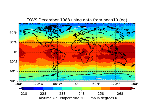
TOVS GLA MONTHLY GRIDS from NOAA-10 02 (TOVSAMNG) at GES DISC
National Aeronautics and Space Administration —
This dataset (TOVSAMNG) contains the TIROS Operational Vertical Sounder (TOVS) level 3 geophysical parameters derived using data from NOAA-10 and the physical... -
Federal
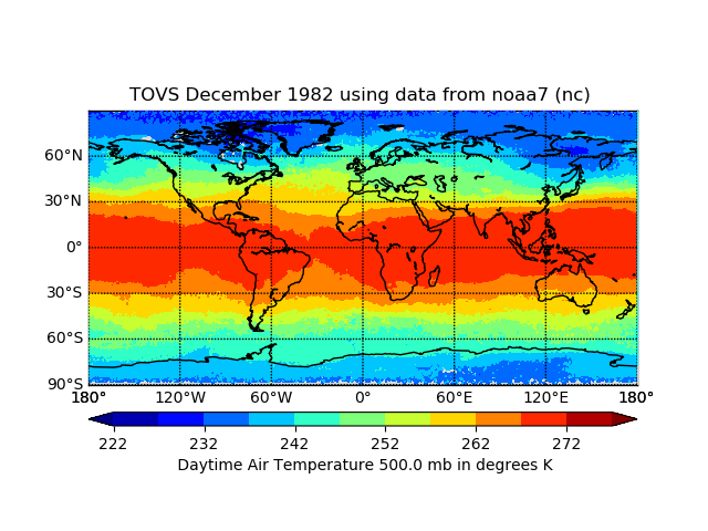
TOVS GLA MONTHLY GRIDS from NOAA-7 02 (TOVSAMNC) at GES DISC
National Aeronautics and Space Administration —
This dataset (TOVSAMNC) contains the TIROS Operational Vertical Sounder (TOVS) level 3 geophysical parameters derived using data from NOAA-7 and the physical... -
Federal
Evapotranspiration at Starkey pasture site, monthly data, Pasco County, Florida, May 2003 - April 2016
Department of the Interior —
The data set consists of monthly sums of 30-minute evapotranspiration measurements made at the USGS Starkey pasture climate station beginning May 1, 2003 and ending... -
Federal
Evapotranspiration at Starkey pasture site, 30-minute data, Pasco County, Florida, January 2010 - April 2016
Department of the Interior —
The data set consists of 30-minute evapotranspiration measurements made at the USGS Starkey pasture climate station beginning January 1, 2010 and ending April 30,... -
Federal
Evapotranspiration (ET) at Immokalee row crop site, daily data, Collier County, Florida, September 23, 2008 - January 7, 2009
Department of the Interior —
The data set consists of daily sums of 30-minute evapotranspiration measurements made at the USGS Immokalee row crop climate station beginning September 23, 2008 and...
30 datasets found