
-
Federal
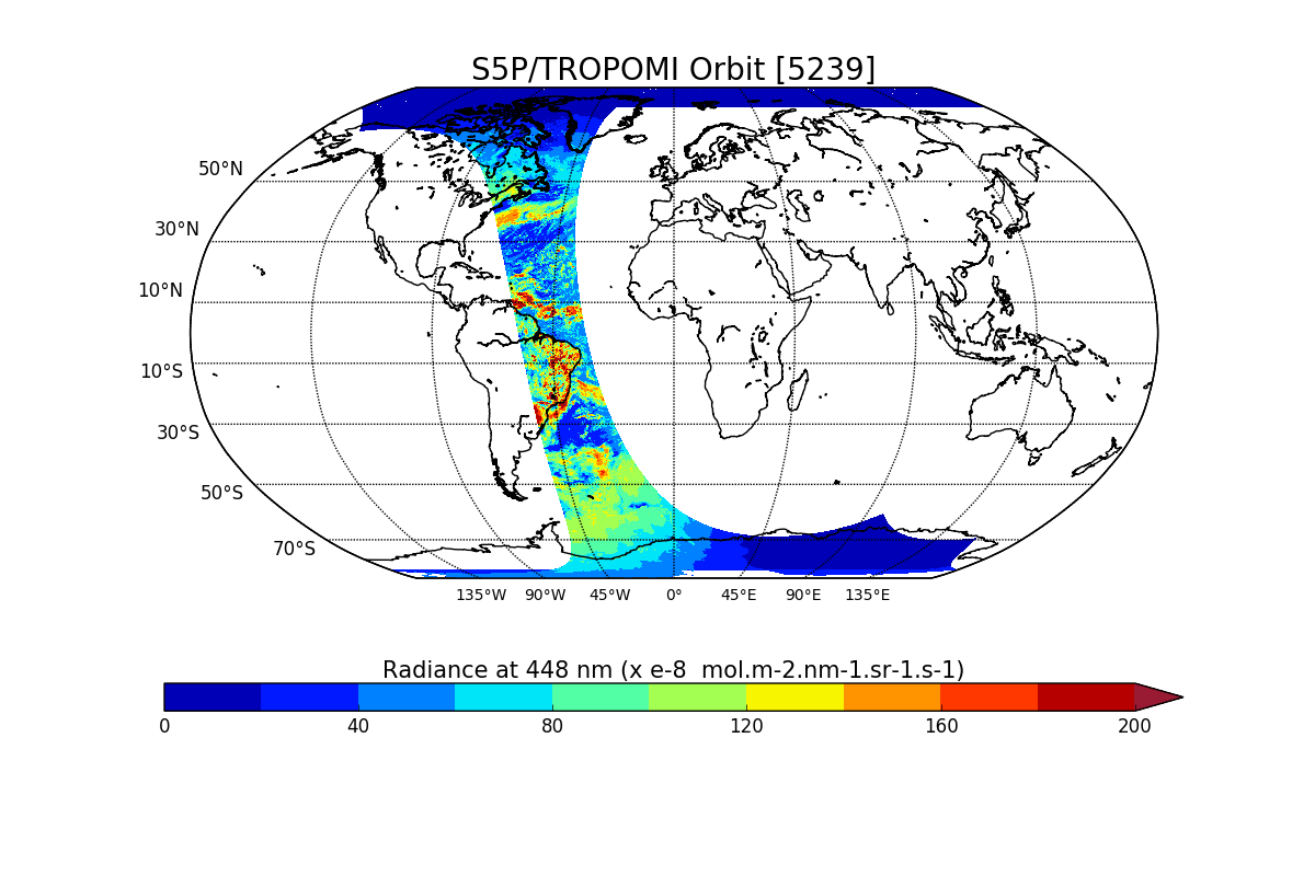
Sentinel-5P TROPOMI Radiance product band 4 (UVIS detector) L1B V1 (S5P_L1B_RA_BD4) at GES DISC
National Aeronautics and Space Administration —
Starting from August 6th in 2019, Sentinel-5P TROPOMI along-track high spatial resolution (~5.5km at nadir) has been implemented. For data after August 6th of 2019,... -
Federal
First ISCCP Regional Experiment (FIRE) Cirrus 1 Colorado State University Sabreliner Aircraft Radiometric and Meteorological Data
National Aeronautics and Space Administration —
This data set contains meteorological and radiometeric data from the NCAR Sabreliner aircraft that was collected during the 1986 FIRE Cirrus IFO. The NCAR Sabreliner... -
Federal
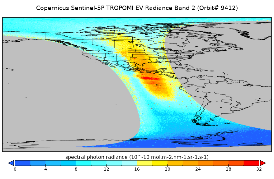
Sentinel-5P TROPOMI Radiance product band 2 (UV detector) L1B V1 (S5P_L1B_RA_BD2) at GES DISC
National Aeronautics and Space Administration —
Starting from August 6th in 2019, Sentinel-5P TROPOMI along-track high spatial resolution (~5.5km at nadir) has been implemented. For data after August 6th of 2019,... -
Federal
Sentinel-5P TROPOMI Radiance product band 8 (SWIR detector) L1B 5.5km x 7km V2 (S5P_L1B_RA_BD8_HiR) at GES DISC
National Aeronautics and Space Administration —
Starting from August 6th in 2019, Sentinel-5P TROPOMI along-track high spatial resolution (~5.5km at nadir) has been implemented. For data before August 6th of 2019,... -
Federal
GRIP HURRICANE IMAGING RADIOMETER (HIRAD) V1
National Aeronautics and Space Administration —
The GRIP Hurricane Imaging Radiometer (HIRAD) V1 dataset contains measurements of brightness temperature taken at 4, 5, 6 and 6.6 GHz, as well as MERRA 2 m wind speed... -
Federal
CAMEX-4 AEROSONDE V1
National Aeronautics and Space Administration —
The CAMEX-4 Aerosonde dataset contains temperature, humidity, and atmospheric pressure measurements collected to study the boundary layer below levels where... -
Federal
GPM GROUND VALIDATION CAMPAIGN REPORTS MC3E V1
National Aeronautics and Space Administration —
The GPM Ground Validation Campaign Reports MC3E dataset consists of various reports filed by the scientists during the Midlatitude Continental Convective Clouds... -
Federal
GPM GROUND VALIDATION UND CITATION NAVIGATION DATA IPHEx V1
National Aeronautics and Space Administration —
The GPM Ground Validation UND Citation Navigation Data IPHEx dataset supplies navigation data collected by the Cessna Citation II aircraft for flights that occurred... -
Federal
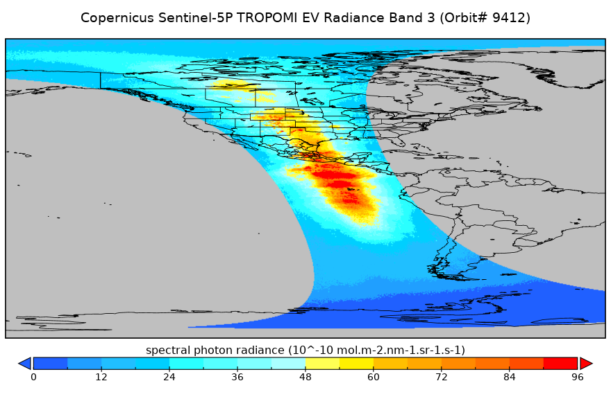
Sentinel-5P TROPOMI Radiance product band 3 (UVIS detector) L1B 5.5km x 3.5km V2 (S5P_L1B_RA_BD3_HiR) at GES DISC
National Aeronautics and Space Administration —
Starting from August 6th in 2019, Sentinel-5P TROPOMI along-track high spatial resolution (~5.5km at nadir) has been implemented. For data before August 6th of 2019,... -
Federal
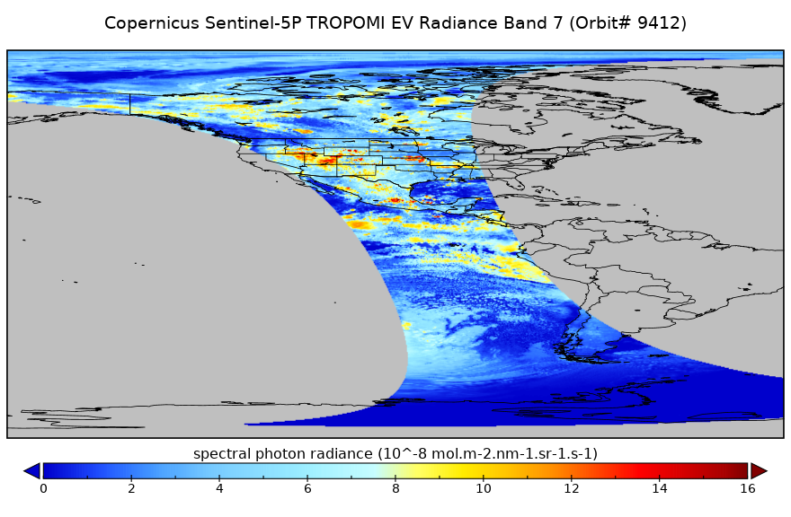
Sentinel-5P TROPOMI Radiance product band 7 (SWIR detector) L1B 5.5km x 7km V1 (S5P_L1B_RA_BD7_HiR) at GES DISC
National Aeronautics and Space Administration —
Starting from August 6th in 2019, Sentinel-5P TROPOMI along-track high spatial resolution (~5.5km at nadir) has been implemented. For data before August 6th of 2019,... -
Federal
Sentinel-5P TROPOMI Radiance product band 1 (UV detector) L1B 5.5km x 21km V1 (S5P_L1B_RA_BD1_HiR) at GES DISC
National Aeronautics and Space Administration —
Starting from August 6th in 2019, Sentinel-5P TROPOMI along-track high spatial resolution (~5.5km at nadir) has been implemented. For data before August 6th of 2019,... -
Federal
Sentinel-5P TROPOMI Radiance product band 2 (UV detector) L1B 5.5km x 3.5km V2 (S5P_L1B_RA_BD2_HiR) at GES DISC
National Aeronautics and Space Administration —
Starting from August 6th in 2019, Sentinel-5P TROPOMI along-track high spatial resolution (~5.5km at nadir) has been implemented. For data before August 6th of 2019,... -
Federal
HURRICANE AND SEVERE STORM SENTINEL (HS3) GLOBAL HAWK HIGH ALTITUDE MMIC SOUNDING RADIOMETER (HAMSR) V1
National Aeronautics and Space Administration —
The Hurricane and Severe Storm Sentinel (HS3) Global Hawk High Altitude MMIC Sounding Radiometer (HAMSR) dataset includes measurements gathered by the HAMSR... -
Federal
GPM GROUND VALIDATION WYOMING KING AIR CLOUD MICROPHYSICS LPVEX V1
National Aeronautics and Space Administration —
The GPM Ground Validation Wyoming King Air Cloud Microphysics LPVEx dataset includes, in addition to aircraft parameters, many scientific parameters, such as static... -
Federal
GPM GROUND VALIDATION NASA ER-2 NAVIGATION DATA MC3E V1
National Aeronautics and Space Administration —
The GPM Ground Validation NASA ER-2 Navigation Data MC3E dataset contains information recorded by an on board navigation recorder (NavRec). In addition to typical... -
Federal
CAMEX-3 DC-8 METEOROLOGICAL MEASUREMENT SYSTEM (MMS) V1
National Aeronautics and Space Administration —
The CAMEX-3 Meteorological Measurement System (MMS) dataset consists of atmospheric parameters measured by the MMS instruments aboard NASA DC-8 aircraft. The MMS... -
Federal
Mission Reports IMPACTS V1
National Aeronautics and Space Administration —
The Mission Reports IMPACTS dataset consists of flight plans, plans of the day, science plans, and science summaries logged by scientists during the Investigation of... -
Federal
GRIP DC-8 METEOROLOGICAL MEASUREMENT SYSTEM (MMS) V1
National Aeronautics and Space Administration —
The GRIP DC-8 Meteorological measurement System (MMS) dataset was collected by the Meteorological Measurement System (MMS), which provides high-resolution, accurate...

Official websites use .gov
A
.gov website belongs to an official government
organization in the United States.
Secure .gov websites use HTTPS
A
lock (
) or https:// means you’ve safely connected to
the .gov website. Share sensitive information only on official,
secure websites.