
-
Federal
Global Fire Emissions Database, Version 4.1 (GFEDv4) NGDA 17 recent views
National Aeronautics and Space Administration —
This dataset provides global estimates of monthly burned area, monthly emissions and fractional contributions of different fire types, daily or 3-hourly fields to... -
Federal
MERRA-2 inst3_3d_aer_Nv: 3d,3-Hourly,Instantaneous,Model-Level,Assimilation,Aerosol Mixing Ratio 0.625 x 0.5 degree V5.12.4 (M2I3NVAER) at GES DISC 12 recent views
National Aeronautics and Space Administration —
M2I3NVAER (or inst3_3d_aer_Nv) is an instantaneous 3-dimensional 3-hourly data collection in Modern-Era Retrospective analysis for Research and Applications version 2... -
Federal
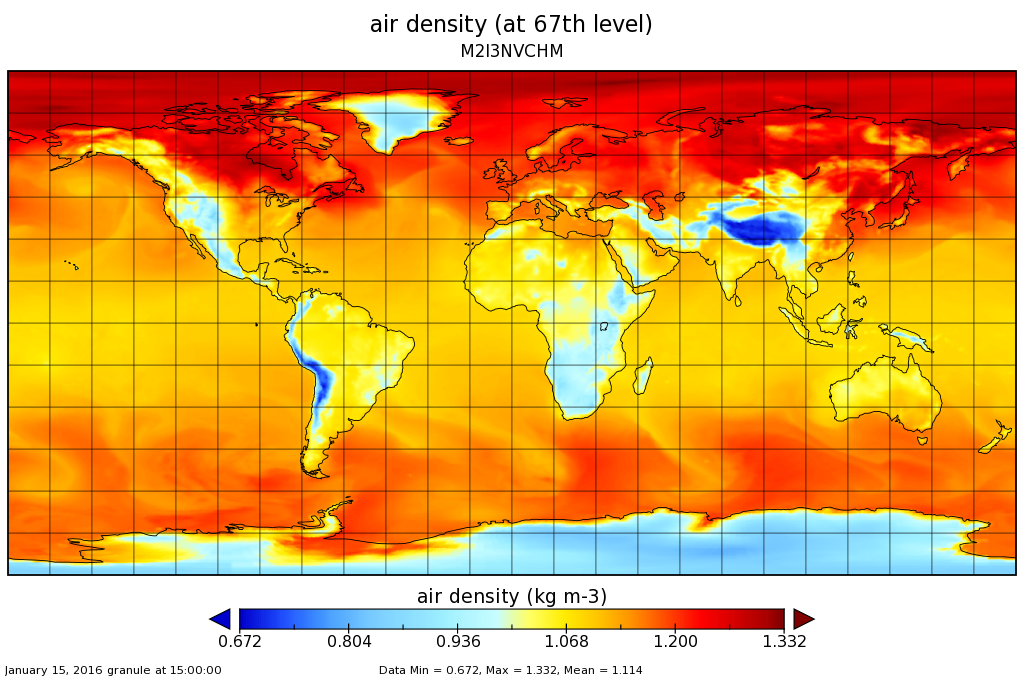
MERRA-2 inst3_3d_chm_Nv: 3d,3-Hourly,Instantaneous,Model-Level,Assimilation,Carbon Monoxide and Ozone Mixing Ratio 0.625 x 0.5 degree V5.12.4 (M2I3NVCHM) at GES DISC 10 recent views
National Aeronautics and Space Administration —
M2I3NVCHM (or inst3_3d_chm_Nv) is an instantaneous 3-dimensional 3-hourly data collection in Modern-Era Retrospective analysis for Research and Applications version 2... -
Federal
Effects of Climate Change on Global Food Production from SRES Emissions and Socioeconomic Scenarios
National Aeronautics and Space Administration —
The Effects of Climate Change on Global Food Production from SRES Emissions and Socioeconomic Scenarios is an update to a major crop modeling study by the NASA... -
Federal
Daily and Annual PM2.5, O3, and NO2 Concentrations at ZIP Codes for the Contiguous U.S., 2000-2016, v1.0
National Aeronautics and Space Administration —
The Daily and Annual PM2.5, O3, and NO2 Concentrations at ZIP Codes for the Contiguous U.S., 2000-2016, v1.0 data set contains daily and annual concentration... -
Federal
Global Annual PM2.5 Grids from MODIS, MISR and SeaWiFS Aerosol Optical Depth (AOD), 1998-2019, V4.GL.03 NGDA
National Aeronautics and Space Administration —
The Global Annual PM2.5 Grids from MODIS, MISR and SeaWiFS Aerosol Optical Depth (AOD), 1998-2019, V4.GL.03 consists of annual concentrations (micrograms per cubic... -
Federal
TES/Aura L2 Ammonia Nadir Special Observation V007
National Aeronautics and Space Administration —
TL2NH3NS_7 is the Tropospheric Emission Spectrometer (TES)/Aura Level 2 Ammonia Nadir Special Observation Version 7 data product. TES was an instrument aboard NASA's... -
Federal
MISR L2 Aerosol Product subset for the SAMUM region V002
National Aeronautics and Space Administration —
This is the Level 2 Aerosol Product.It contains Aerosol optical depth and particle type, with associated atmospheric data for the SAMUM_2006 theme. -
Federal
Daily and Annual PM2.5 Concentrations for the Contiguous United States, 1-km Grids, v1 (2000 - 2016)
National Aeronautics and Space Administration —
The Daily and Annual PM2.5 Concentrations for the Contiguous United States, 1-km Grids, v1 (2000 - 2016) data set includes predictions of PM2.5 concentrations in grid... -
Federal
HAQAST Sentinel-5P TROPOMI Nitrogen Dioxide (NO2) CONUS Monthly Level 3 0.01 x 0.01 Degree Gridded Data V2.4 (HAQ_TROPOMI_NO2_CONUS_M_L3) at GES DISC
National Aeronautics and Space Administration —
This product provides level 3 annual averages of tropospheric Nitrogen dioxide (NO2) vertical column density derived from the level 2 Tropospheric Monitoring... -
Federal
MERRA-2 tavg1_2d_aer_Nx: 2d,1-Hourly,Time-averaged,Single-Level,Assimilation,Aerosol Diagnostics 0.625 x 0.5 degree V5.12.4 (M2T1NXAER) at GES DISC
National Aeronautics and Space Administration —
M2T1NXAER (or tavg1_2d_aer_Nx) is an hourly time-averaged 2-dimensional data collection in Modern-Era Retrospective analysis for Research and Applications version 2... -
Federal
MISR Level 2 Aerosol parameters V002
National Aeronautics and Space Administration —
Multi-angle Imaging SpectroRadiometer (MISR) is an instrument designed to view Earth with cameras pointed in 9 different directions. As the instrument flies overhead,... -
Federal
Sentinel-5P TROPOMI Total Ozone Column 1-Orbit L2 7km x 3.5km V1 (S5P_L2__O3_TOT) at GES DISC
National Aeronautics and Space Administration —
Starting from August 6th in 2019, Sentinel-5P TROPOMI along-track high spatial resolution (~5.5km at nadir) has been implemented. Starting from July 13th in 2020,... -
Federal
TES/Aura L2 Methanol Nadir Special Observation V008
National Aeronautics and Space Administration —
TL2MTLNS_8 is the Tropospheric Emission Spectrometer (TES)/Aura Level 2 Methanol Nadir Special Observation Version 8 data product. TES was an instrument aboard NASA's... -
Federal
GPM Ground Validation Environment Canada (EC) Visibility Sensor FD12P C3VP V1
National Aeronautics and Space Administration —
The GPM Ground Validation (GV) Environment Canada (EC) Visibility Sensor FD12P C3VP dataset consists of visibility and precipitation data collected at the Environment... -
Federal
TES/Aura L3 HNO3 Monthly Gridded V004
National Aeronautics and Space Administration —
TL3HNOM_4 is the Tropospheric Emission Spectrometer (TES)/Aura Level 2 Atmospheric Temperatures Limb Version 4 data product. It consists of monthly averages of... -
Federal
Sounder SIPS: Suomi NPP CrIMSS Level 3 Comprehensive Quality Control Gridded Monthly CHART Normal Spectral Resolution V1
National Aeronautics and Space Administration —
The objective of this limited edition data collection is to examine products generated by the Climate Heritage AIRS Retrieval Technique (CHART) algorithm to analyze... -
Federal
AIRS/Aqua L3 8-day Standard Physical Retrieval (AIRS+AMSU+HSB) 1 degree x 1 degree V006 (AIRH3ST8) at GES DISC
National Aeronautics and Space Administration —
The Atmospheric Infrared Sounder (AIRS) is a grating spectrometer (R = 1200) aboard the second Earth Observing System (EOS) polar-orbiting platform, EOS Aqua. In... -
Federal
TES/Aura L2 Carbonyl Sulfide Nadir Special Observation V007
National Aeronautics and Space Administration —
TL2OCSNS_7 is the Tropospheric Emission Spectrometer (TES)/Aura Level 2 Atmospheric Temperatures Limb Version 7 data product. TES was an instrument aboard NASA's Aura... -
Federal
KORUS-AQ Aircraft Merge Data Files
National Aeronautics and Space Administration —
KORUSAQ_Merge_Data are pre-generated merge data files combining various products collected during the KORUS-AQ field campaign. This collection features pre-generated...

Official websites use .gov
A
.gov website belongs to an official government
organization in the United States.
Secure .gov websites use HTTPS
A
lock (
) or https:// means you’ve safely connected to
the .gov website. Share sensitive information only on official,
secure websites.