
-
Federal
Q1-2024 Solar Cost Benchmarks
Department of Energy —
Each year, the U.S. Department of Energy (DOE) Solar Energy Technologies Office (SETO) and its national laboratory partners analyze cost data for U.S. solar... -
Federal
Materials Discarded in the U.S. Municipal Waste Stream, 1960 to 2009 (in tons)
U.S. Environmental Protection Agency —
The U.S. Environmental Protection Agency (EPA) has collected and reported data on the generation and disposal of waste in the United States for more than 30 years. We... -
Federal
Combined GPS Broadcast Ephemeris Data (30-second sampling, hourly files) from NASA CDDIS
National Aeronautics and Space Administration —
This dataset consists of ground-based Global Navigation Satellite System (GNSS) Combined Broadcast Ephemeris Data (hourly files of all distinct navigation messages... -
Federal
A Global Database of Gas Fluxes from Soils after Rewetting or Thawing, Version 1.0
National Aeronautics and Space Administration —
This database contains information compiled from published studies on gas flux from soil following rewetting or thawing. The resulting database includes 222 field and... -
Federal
GPM IMERG Final Precipitation L3 1 day 0.1 degree x 0.1 degree V07 (GPM_3IMERGDF) at GES DISC
National Aeronautics and Space Administration —
Version 07 is the current version of the data set. Older versions will no longer be available and have been superseded by Version 07.The Integrated Multi-satellitE... -
Federal
GLDAS Catchment Land Surface Model L4 daily 0.25 x 0.25 degree V2.0 (GLDAS_CLSM025_D) at GES DISC
National Aeronautics and Space Administration —
NASA Global Land Data Assimilation System Version 2 (GLDAS-2) has three components: GLDAS-2.0, GLDAS-2.1, and GLDAS-2.2. GLDAS-2.0 is forced entirely with the... -
Federal
Screening Tool for Equitable Adoption and Deployment of Solar (STEADy Solar)
Department of Energy —
The Screening Tool for Equitable Adoption and DeploYment of Solar (STEADy Solar) is a database and mapping tool designed to promoting clean energy investments for... -
Federal
SOHO LASCO C2 Level 1.0 FITS Data
National Aeronautics and Space Administration —
The LASCO C2 Calibrated FITS Data. LASCO (Large Angle Spectroscopic Coronagraph) is comprised of three nested coronagraphs (C1, C2, and C3) that image the solar... -
Federal
Global Navigation Satellite System (GNSS) IGS Final Combined Orbit Solution Summary Product from NASA CDDIS
National Aeronautics and Space Administration —
This derived product set consists of Global Navigation Satellite System Final Orbit/Reference Frame Product Summary from the NASA Crustal Dynamics Data Information... -
Federal
Public Reference Data for Megawatt-Scale Hydrogen Electrolysis – Simulated Wave
Department of Energy —
The U.S. Department of Energy and the National Laboratory of the Rockies (NLR) demonstrate hydrogen electrolysis, hydrogen compression and storage, and variable... -
Federal
Sounder SIPS: AQUA AIRS IR + MW Level 3 CLIMCAPS : Comprehensive Quality Control Gridded Daily V2 (SNDRAQIML3CDCCP) at GES DISC
National Aeronautics and Space Administration —
WARNING: To users of the derived product “co_mmr_midtrop” (carbon monoxide mass mixing ratio to dry air [kg/kg] at ~500 hPa). This variable has a significant bias due... -
Federal
Microgrid Load and LCOE Modelling Results
Department of Energy —
These tools are designed to inform high level thinking around micro-grid load and tariff considerations in sub-Saharan Africa. There are two related tools in this... -
Federal
Public Reference Data for Megawatt-Scale Hydrogen Electrolysis – Simulated Wind
Department of Energy —
The U.S. Department of Energy and the National Laboratory of the Rockies (NLR) demonstrate hydrogen electrolysis, hydrogen compression and storage, and variable... -
Federal
TRMM TROPICAL CYCLONE PRECIPITATION FEATURE (TCPF) DATABASE - LEVEL 1 V1
National Aeronautics and Space Administration —
The TRMM Cyclone Precipitation Feature (TCPF) Database - Level 1 provides Tropical Rainfall Measuring Mission (TRMM)-based tropical cyclone data in a common framework... -
Federal
GLDAS Noah Land Surface Model L4 monthly 0.25 x 0.25 degree V2.1 (GLDAS_NOAH025_M) at GES DISC
National Aeronautics and Space Administration —
NASA Global Land Data Assimilation System Version 2 (GLDAS-2) has three components: GLDAS-2.0, GLDAS-2.1, and GLDAS-2.2. GLDAS-2.0 is forced entirely with the... -
Federal
First ISCCP Regional Experiment (FIRE) Atlantic Stratocumulus Transition Experiment (ASTEX) Malcolm Baldridge Radiosonde Data
National Aeronautics and Space Administration —
The First ISCCP Regional Experiments have been designed to improve data products and cloud/radiation parameterizations used in general circulation models (GCMs).... -
Federal
AIRS/Aqua L3 8-day Support Product (AIRS-only) 1 degree X 1 degree V006 (AIRS3SP8) at GES DISC
National Aeronautics and Space Administration —
The Atmospheric Infrared Sounder (AIRS) is a grating spectrometer (R = 1200) aboard the second Earth Observing System (EOS) polar-orbiting platform, EOS Aqua. In... -
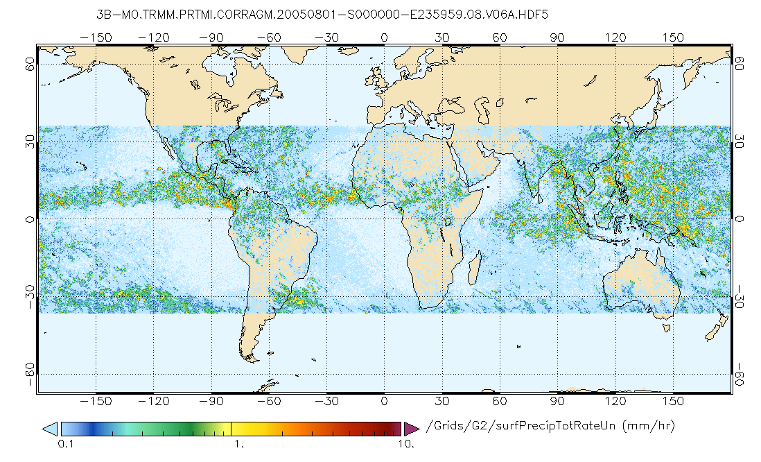
Federal
GPM PR and TMI on TRMM (Combined Precipitation) L3 1 month 0.25x0.25 degree V07 (GPM_3CMB_TRMM) at GES DISC
National Aeronautics and Space Administration —
This is the new (GPM-formated) TRMM Combined product, using the GPM algorithms, for the TRMM epoch (December 1997 - April 2015). It replaces the old TRMM_3B31This is... -
Federal
GPM IMERG Final Precipitation L3 1 month 0.1 degree x 0.1 degree V07 (GPM_3IMERGM) at GES DISC
National Aeronautics and Space Administration —
Version 07B is the current version of the IMERG data sets. Older versions will no longer be available and have been superseded by Version 07.The Integrated Multi-... -
Federal
ROSAT All-Sky Survey: Faint Sources
National Aeronautics and Space Administration —
The ROSAT All-Sky Survey Faint Source Catalog (RASS-FSC) was first released by the Max-Planck-Institut fuer extraterrestrische Physik, Garching group (voges et al....

Official websites use .gov
A
.gov website belongs to an official government
organization in the United States.
Secure .gov websites use HTTPS
A
lock (
) or https:// means you’ve safely connected to
the .gov website. Share sensitive information only on official,
secure websites.