
-
Federal
Fisheries One Stop Shop Public Data 2009 - Present recent views
National Oceanic and Atmospheric Administration, Department of Commerce —
The purpose of the Fisheries One-Stop-Shop (FOSS) is to make fisheries dependent information readily available to fisheries managers, scientists and the American... -
Federal
Coastal Resources Atlas: Long Island: BIRDS (Bird Polygons) recent views
National Oceanic and Atmospheric Administration, Department of Commerce —
This data set contains sensitive biological resource data for wading birds, shorebirds, waterfowl, raptors, diving birds, seabirds, passerine birds, and gulls and... -
Federal
NOAA TIFF Image - 3x3m Multibeam Backscatter, US Virgin Islands - Vieques Island (South Bank) - Project NF-09-01 - (2009), UTM 20N NAD83 recent views
National Oceanic and Atmospheric Administration, Department of Commerce —
This dataset contains a GeoTIFF with 3x3 meter cell size representing the backscatter or intensity of sound returned from the seafloor on the bank/shelf escarpment... -
Federal
NOAA TIFF Image - 10m Multibeam Bathymetry, South Atlantic Bight - Deep Coral Priority Areas - NOAA Ship Nancy Foster - (2009), UTM 17N NAD83 recent views
National Oceanic and Atmospheric Administration, Department of Commerce —
This dataset contains a unified GeoTiff with 10x10 meter cell size representing the bathymetry of several deep coral priority areas off the South Atlantic Bight,... -
Federal
Coastal Resources Atlas: Long Island: REPTILES (Reptile and Amphibian Polygons) recent views
National Oceanic and Atmospheric Administration, Department of Commerce —
This data set contains sensitive biological resource data for sea turtles, estuarine turtles, and amphibians for Long Island, New York. Vector polygons in this data... -
Federal
Coastal Resources Atlas: Long Island: M_MAMMAL (Marine Mammal Polygons) recent views
National Oceanic and Atmospheric Administration, Department of Commerce —
This data set contains sensitive biological resource data for seals, whales, and porpoises for Long Island, New York. Vector polygons in this data set represent... -
Federal
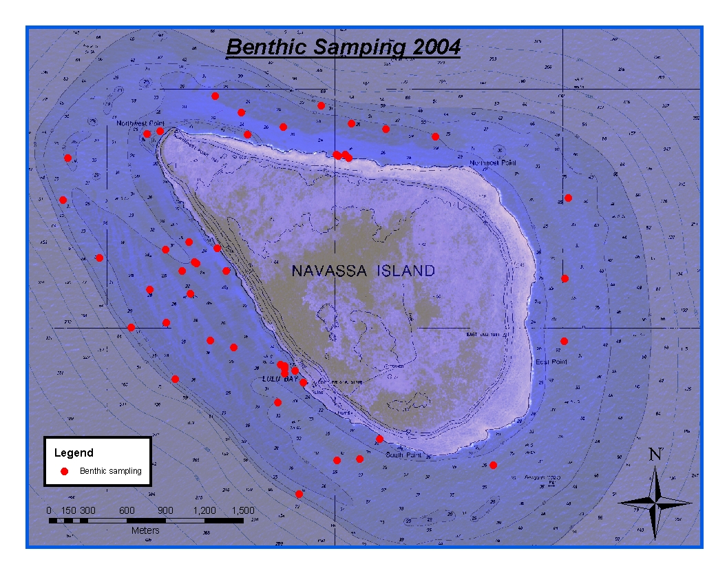
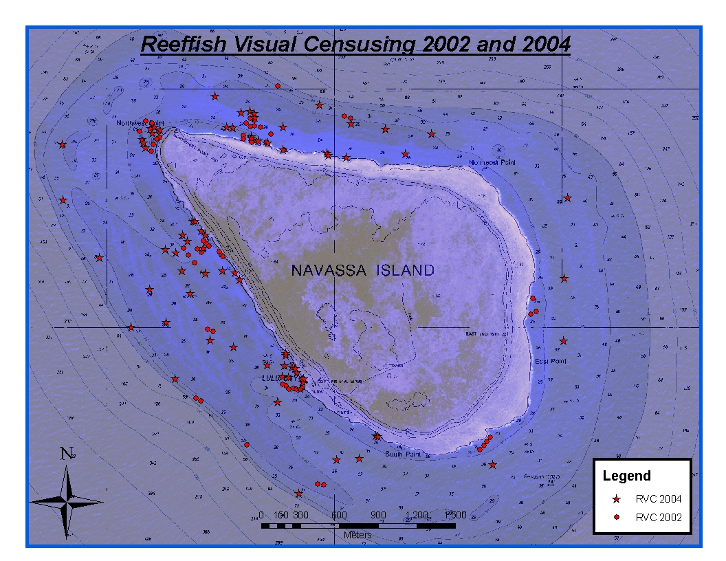
CRCP-Navassa reef assessment recent views
National Oceanic and Atmospheric Administration, Department of Commerce —
Episodic cruises ( every 2 years) were conducted to perform assessments of Navassa Island coral reef resources including reeffish visual census, benthic reef... -
Federal
Ichthyoplankton (biological) data collected aboard NOAA Ship Nancy Foster during cruise 0903 from 2009-04-07 to 2009-04-20 (NCEI Accession 0071978) recent views
National Oceanic and Atmospheric Administration, Department of Commerce —
Station data and ichthyoplankton (biological) data from cruise 0903 from the US Virgin Islands, British Virgin Islands, Puerto Rico, Anegada Passage, Leeward Islands... -
Federal
Virginia Key nest survey data recent views
National Oceanic and Atmospheric Administration, Department of Commerce —
Seasonal (May-Sep) daily surveys are conducted on Virginia Key, FL to document marine turtle nesting activity. -
Federal
Continuous bottom temperature measurements in strategic areas of the Florida Reef Tract recent views
National Oceanic and Atmospheric Administration, Department of Commerce —
This ongoing project began in 1988. A total of 38 subsurface recording thermographs have been deployed in the Florida Keys National Marine Sanctuary (FKNMS) and at... -
Federal
NOAA TIFF Image - 8m Multibeam Bathymetry, US Virgin Islands - St. John Shelf - Project NF-10-03 - (2010), UTM 20N NAD83 recent views
National Oceanic and Atmospheric Administration, Department of Commerce —
This dataset contains a GeoTIFF with 8x8 meter cell size representing the bathymetry of a sharply sloping swath of the St. John Shelf, a selected portion of seafloor... -
Federal
NOAA TIFF Image - 1m Multibeam Bathymetry, US Virgin Islands - St. John Shelf - Project NF-10-03 - (2010), UTM 20N NAD83 recent views
National Oceanic and Atmospheric Administration, Department of Commerce —
This dataset contains a GeoTIFF with 1x1 meter cell size representing the bathymetry of St. John Shelf, a selected portion of seafloor south of St. John, USVI,... -
Federal
NOAA TIFF Image - .75m Multibeam Backscatter, US Virgin Islands - Vieques Island (El Seco) - Project NF-09-01 - (2009), UTM 20N WGS 84 recent views
National Oceanic and Atmospheric Administration, Department of Commerce —
This dataset contains a GeoTIFF with .75x.75 meter cell size representing the backscatter or intensity of sound returned from the seafloor in "El Seco" east of... -
Federal
NOAA TIFF Image - 2m Multibeam Bathymetry, US Virgin Islands - Vieques Island - Project NF-09-01 - (2009), UTM 20N NAD83 recent views
National Oceanic and Atmospheric Administration, Department of Commerce —
This dataset contains a unified ESRI Geotiff with 2x2 meter cell size representing the bathymetry of a selected portion of seafloor southwest of Vieques Island,... -
Federal
NOAA TIFF Image - 1m Multibeam Bathymetry, US Virgin Islands - Virgin Passage - Project NF-10-03 - (2010), UTM 20N NAD83 recent views
National Oceanic and Atmospheric Administration, Department of Commerce —
This dataset contains a GeoTIFF with 1x1 meter cell size representing the bathymetry of a portion of the Virgin Passage, a selected area of seafloor southwest of St.... -
Federal
Coastal Resources Atlas: Long Island: HABITATS (Habitat Polygons) recent views
National Oceanic and Atmospheric Administration, Department of Commerce —
This data set contains sensitive biological resource data for sensitive/rare coastal plants and submerged aquatic vegetation (SAV) for Long Island, New York. Vector... -
Federal
Coastal Resources Atlas: Long Island: INDEX (Index Polygons) recent views
National Oceanic and Atmospheric Administration, Department of Commerce —
This data set contains vector polygons representing the boundaries of all hardcopy cartographic products and other map and digital data boundaries used in the... -
Federal
Coastal Resources Atlas: Long Island: T_MAMMAL (Terrestrial Mammal Polygons) recent views
National Oceanic and Atmospheric Administration, Department of Commerce —
This data set contains sensitive biological resource data for northern river otter, mink, muskrat, and beaver for Long Island, New York. Vector polygons in this data... -
Federal
NOAA TIFF Image - 1m Multibeam Bathymetry, US Virgin Islands - Vieques Island (El Seco) - Project NF-09-01 - (2009), UTM 20N NAD83 recent views
National Oceanic and Atmospheric Administration, Department of Commerce —
This dataset contains a unified ESRI Geotiff with 1x1 meter cell size representing the bathymetry of El Seco, a selected portion of seafloor east of Vieques Island,... -
Federal
Coastal Resources Atlas: Long Island: SOCECON (Socioeconomic Resource Points and Lines) recent views
National Oceanic and Atmospheric Administration, Department of Commerce —
This data set contains human-use resource data for aquaculture sites, beaches, commercial fishing, historic sites, marinas, recreational fishing areas, and water...

Official websites use .gov
A
.gov website belongs to an official government
organization in the United States.
Secure .gov websites use HTTPS
A
lock (
) or https:// means you’ve safely connected to
the .gov website. Share sensitive information only on official,
secure websites.