
-
Federal
Global Historical Climatology Network - Daily (GHCN-Daily), Version 3
National Oceanic and Atmospheric Administration, Department of Commerce —
The Global Historical Climatology Network - Daily (GHCN-Daily/GHCNd) dataset integrates daily climate observations from approximately 30 different data sources.... -
Federal
Global Surface Summary of the Day - GSOD
National Oceanic and Atmospheric Administration, Department of Commerce —
Global Surface Summary of the Day is derived from The Integrated Surface Hourly (ISH) dataset. The ISH dataset includes global data obtained from the USAF Climatology... -
Federal
Geospatial Measurements of Soil Electrical Conductivity, Soil Salinity, and Soil Saturation Percentage in Irrigated Farmland
Department of Agriculture —
These data are from soil salinity surveys conducted on California irrigated farmland between 1991 and 2017. The data consist of: (i.) geospatial field survey... -
State
2019 California Water Quality Status Report
State of California —
The California Water Quality Status Report is an annual data-driven snapshot of the Water Board’s water quality and ecosystem data. This third edition of the report... -
Federal
Integrated Global Radiosonde Archive (IGRA), Version 2
National Oceanic and Atmospheric Administration, Department of Commerce —
Integrated Global Radiosonde Archive (IGRA) Version 2 consists of quality-controlled radiosonde observations of temperature, humidity, and wind at stations across all... -
Federal
Global Historical Climatology Network - Monthly (GHCN-M), Version 3
National Oceanic and Atmospheric Administration, Department of Commerce —
Please note, GHCN-Monthly provides climatological observations for four elements; monthly mean maximum temperature, minimum temperature, mean temperature, and monthly... -
State
California Fish Passage Assessment Database [ds69]
State of California —
The Passage Assessment Database (PAD) geospatial file contains locations of known and potential barriers to salmonid migration in California streams with additional... -
State
Surface Water Quality Polygon
State of Connecticut —
See full Data Guide here. Surface Water Quality Classifications Set: This dataset is a line and a polygon feature-based layer compiled at 1:24,000 scale that includes... -
Federal
USGS Digital Orthophoto Quadrangles
National Aeronautics and Space Administration —
A Digital Orthophoto Quadrangle (DOQ) is a computer-generated image of an aerial photograph in which the image displacement caused by terrain relief and camera tilt... -
Federal
Growth and Yield Data for the Bushland, Texas, Cotton Datasets
Department of Agriculture —
This dataset consists of growth and yield data for each season when upland cotton [Gossympium hirsutum (L.)] was grown for lint and seed at the USDA-ARS Conservation... -
Federal
BLM Natl AIM Riparian and Wetland Indicators Hub
Department of the Interior —
This feature class includes monitoring data collected nationally to understand the status, condition, and trend of resources on BLM lands. Data are collected in... -
City
Infiltration Potential
City of Seattle —
Planning level Infiltration Potential - NOT FOR ENGINEERING DESIGN. A starting point to determine if a Seattle modified PIT test should be considered for a site under... -
Federal
Microplastic and nanoplastic chemical characterization by thermal desorption and pyrolysis mass spectrometry with unsupervised machine learning
National Institute of Standards and Technology —
This data publication contains the mass spectrometry chemical characterization of microplastic and nanoplastic chemical analysis. The data from this study includes... -
Federal
UNH TDP - Concurrent Measurements of Inflow, Power Performance, and Loads for a Grid-Synchronized Vertical Axis Cross-Flow Turbine Operating in a Tidal Estuary
Department of Energy —
This data was collected between October 12 and December 15 of 2021 at the University of New Hampshire (UNH) and Atlantic Marine Energy Center (AMEC) turbine... -
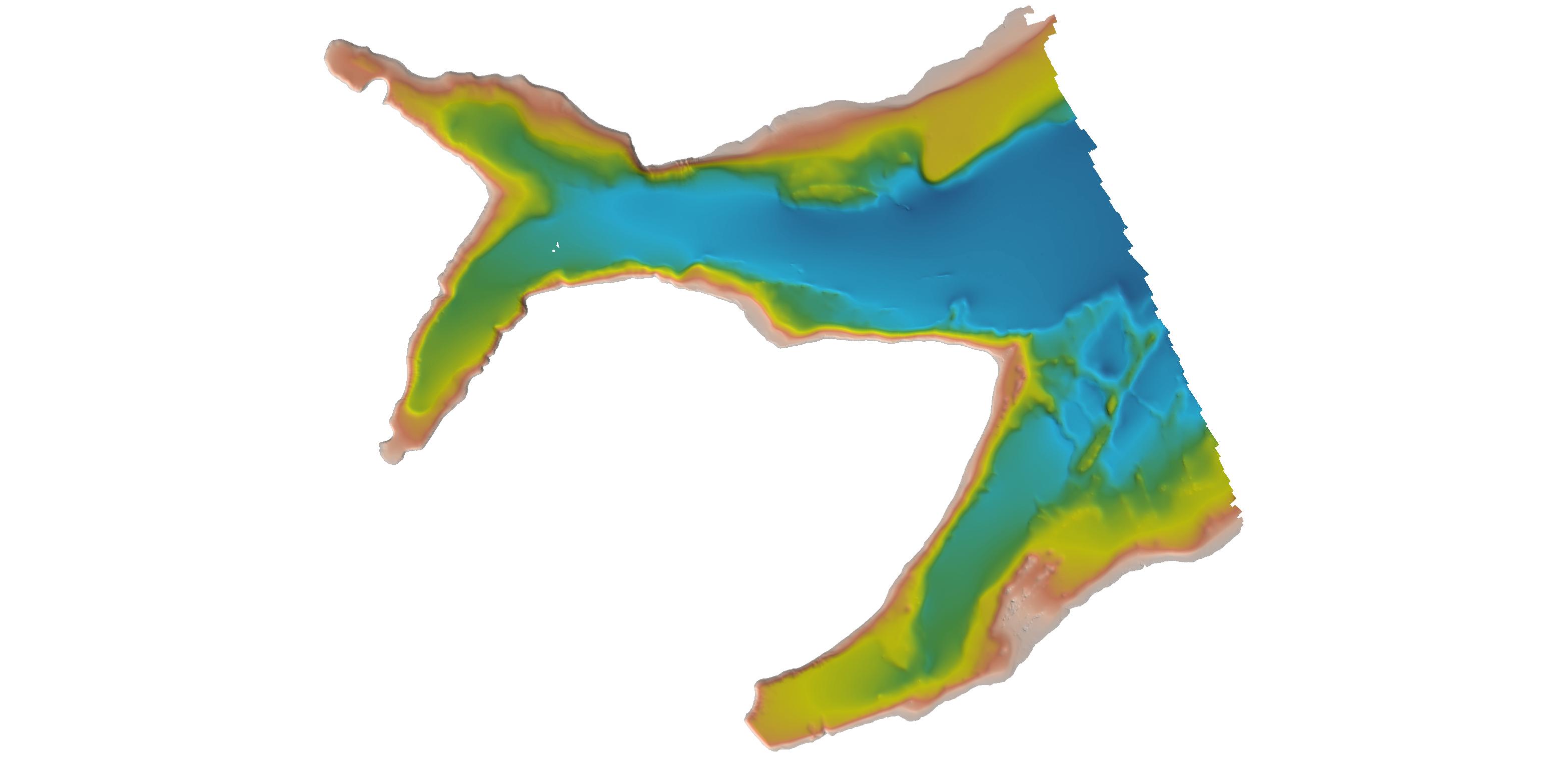
Federal
H11341A: NOS Hydrographic Survey , 2004-05-27
National Oceanic and Atmospheric Administration, Department of Commerce —
The National Oceanic and Atmospheric Administration (NOAA) has the statutory mandate to collect hydrographic data in support of nautical chart compilation for safe... -
Federal
H02715A: NOS Hydrographic Survey , 1905-12-31
National Oceanic and Atmospheric Administration, Department of Commerce —
The National Oceanic and Atmospheric Administration (NOAA) has the statutory mandate to collect hydrographic data in support of nautical chart compilation for safe... -
Federal
Data from: Host plant water deficit stress impairs reproduction and development of the galling fly (Parafreutreta regalis), a biological control agent of Cape-ivy (Delairea odorata)
Department of Agriculture —
Data from choice and no-choice tests associated with the paper cited below. Drought leading to water deficit stress is known to reduce performance of galling insects.... -
Federal
H11195: NOS Hydrographic Survey , Southwest Alaska Peninsula, Alaska, 2003-06-06
National Oceanic and Atmospheric Administration, Department of Commerce —
The National Oceanic and Atmospheric Administration (NOAA) has the statutory mandate to collect hydrographic data in support of nautical chart compilation for safe... -
Federal
H06937: NOS Hydrographic Survey , 1944-12-31
National Oceanic and Atmospheric Administration, Department of Commerce —
The National Oceanic and Atmospheric Administration (NOAA) has the statutory mandate to collect hydrographic data in support of nautical chart compilation for safe... -
Federal
H06112: NOS Hydrographic Survey , 1935-12-31
National Oceanic and Atmospheric Administration, Department of Commerce —
The National Oceanic and Atmospheric Administration (NOAA) has the statutory mandate to collect hydrographic data in support of nautical chart compilation for safe...

Official websites use .gov
A
.gov website belongs to an official government
organization in the United States.
Secure .gov websites use HTTPS
A
lock (
) or https:// means you’ve safely connected to
the .gov website. Share sensitive information only on official,
secure websites.
.jpg)
.jpg)
.jpg)