

15 datasets found for "Employment Estimates"
-
Federal
LLMs for EV Infrastructure Permitting
Department of Energy —
The Electric Vehicle (EV) charging permitting processes' database is a novel, multi-jurisdictional resource designed to contain the required codes and compliances in... -
Federal
Broadband Electromagnetic Properties of Engineered Flexible Absorber Materials
National Institute of Standards and Technology —
Figures and relevant data from the paper "Broadband Electromagnetic Properties of Engineered Flexible Absorber Materials" are found here . The paper was published on... -
Federal
LiDAR-based Biomass Estimates, Boreal Forest Biome, Eurasia, 2005-2006
National Aeronautics and Space Administration —
This data set provides estimates of aboveground biomass (AGB) for defined land cover types within World Wildlife Fund (WWF) ecoregions across the boreal biome of... -
Federal
LBA-ECO LC-13 GIS Coverages of Logged Areas, Cauaxi, Para, Brazil: 1996, 1998
National Aeronautics and Space Administration —
We combined a detailed field study of canopy gap fraction with spectral mixture analysis of Landsat ETM+ satellite imagery to assess landscape and regional dynamics... -
Federal
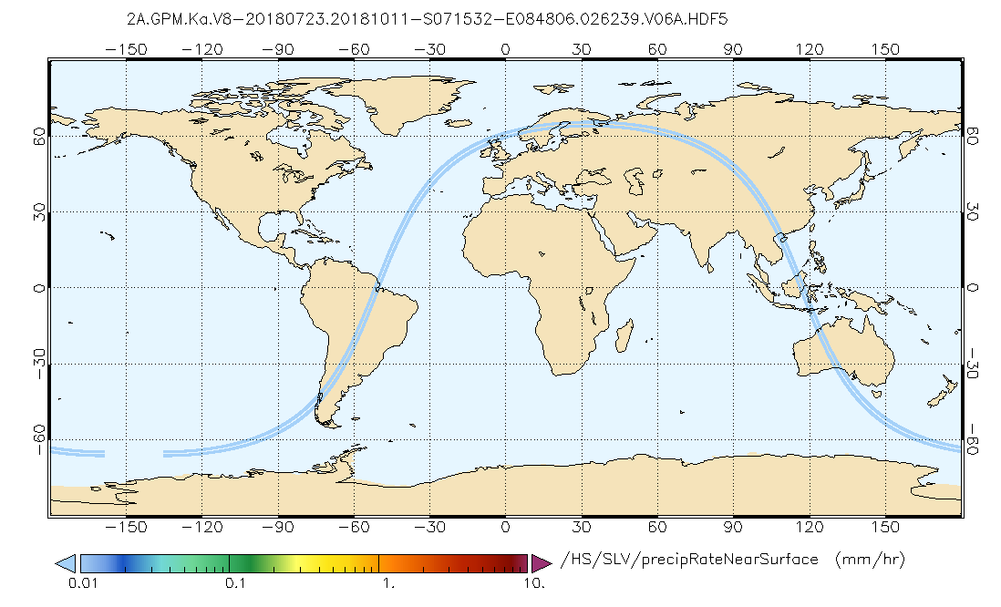
GPM DPR Ka Precipitation Profile 2A 1.5 hours 5 km V07 (GPM_2AKa) at GES DISC
National Aeronautics and Space Administration —
Version 07 is the current version of the data set. Older versions will no longer be available and have been superseded by Version 07. The 2AKa algorithm provides... -
Federal
LBA-ECO LC-13 GIS Coverages of Logged Areas, Tapajos Forest, Para, Brazil: 1996, 1998
National Aeronautics and Space Administration —
We combined a detailed field study of canopy gap fraction with spectral mixture analysis of Landsat ETM+ satellite imagery to assess landscape and regional dynamics... -
Federal
Broadband Electromagnetic Properties of Engineered Flexible Absorber Materials
Department of Commerce —
Figures and relevant data from the paper "Broadband Electromagnetic Properties of Engineered Flexible Absorber Materials" are found here . The paper was published on... -
Federal
TransCom 3: Annual Mean CO2 Flux Estimates from Atmospheric Inversions (Level 1)
National Aeronautics and Space Administration —
The Atmospheric Tracer Transport Model Intercomparison Project (TransCom) was created to quantify and diagnose the uncertainty in inversion calculations of the global... -
Federal
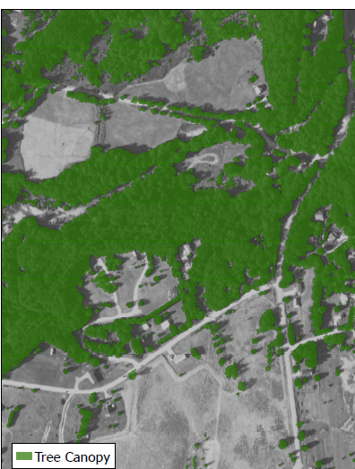
CMS: Tree Canopy Cover at 0.5-meter resolution, Vermont, 2016
National Aeronautics and Space Administration —
This dataset contains estimates of tree canopy cover presence at high resolution (0.5m) across the state of Vermont for 2016 in Cloud-Optimized GeoTIFF (*.tif)... -
Federal
Sentinel-5P TROPOMI Aerosol Layer Height 1-Orbit L2 7km x 3.5km V1 (S5P_L2__AER_LH) at GES DISC
National Aeronautics and Space Administration —
Starting from August 6th in 2019, Sentinel-5P TROPOMI along-track high spatial resolution (~5.5km at nadir) has been implemented. For data after August 6th of 2019,... -
Federal
LBA-ECO LC-13 GIS Coverages of Logged Areas, Juruena, Mato Grosso, Brazil: 2002
National Aeronautics and Space Administration —
We combined a detailed field study of canopy gap fraction with spectral mixture analysis of Landsat ETM+ satellite imagery to assess landscape and regional dynamics... -
Federal
SAFARI 2000 1-Degree Estimates of Burned Biomass, Area, and Emissions, 2000
National Aeronautics and Space Administration —
A new method is used to generate spatial estimates of monthly averaged biomass burned area and spatial and temporal estimates of trace gas and aerosol emissions from... -
Federal
Satellite Atmos. Correction Coef. (FIFE)
National Aeronautics and Space Administration —
The atmospheric effects on the transmitted and reflected solar radiation should be factored into the estimation of geophysical and biophysical parameters from... -
Federal
GPM DPR Ku Precipitation Profile 2A 1.5 hours 5 km V07 (GPM_2AKu) at GES DISC
National Aeronautics and Space Administration —
Version 07 is the current version of the data set. Older versions will no longer be available and have been superseded by Version 07. The 2AKu algorithm is a single-... -
Federal
NASMo-TiAM 250m 16-day North America Surface Soil Moisture Dataset
National Aeronautics and Space Administration —
This NASMo-TiAM (North America Soil Moisture Dataset Derived from Time-Specific Adaptable Machine Learning Models) dataset holds gridded estimates of surface soil...
15 datasets found for "Employment Estimates"