
-
Federal
Global Soil Types, 0.5-Degree Grid (Modified Zobler)
National Aeronautics and Space Administration —
A global data set of soil types is available at 0.5-degree latitude by 0.5-degree longitude resolution. There are 106 soil units, based on Zobler?s (1986) assessment... -
Federal
CALIPSO Lidar Level 1.5 Profile, V1-01
National Aeronautics and Space Administration —
CAL_LID_L15-Standard-V1-01 is the Cloud-Aerosol Lidar and Infrared Pathfinder Satellite Observations (CALIPSO) Lidar Level 1.5 Profile, Version 1-01 data product.... -
Federal
SatCORPS CERES GEO Edition 4 GOES-18 Northern Hemisphere Version 1.2
National Aeronautics and Space Administration —
CER_GEO_Ed4_GOE18_NH_V01.2 is the Satellite Cloud and Radiation Property retrieval System (SatCORPS) Clouds and the Earth's Radiant Energy System (CERES)... -
Federal
Aircraft Flux-Filtered: U of Wy. (FIFE)
National Aeronautics and Space Administration —
The University of Wyoming (UW) King Air atmospheric boundary layer measurement missions were flown in 1987 during IFCs 3 and 4. This Boundary Layer Fluxes data set... -
Federal
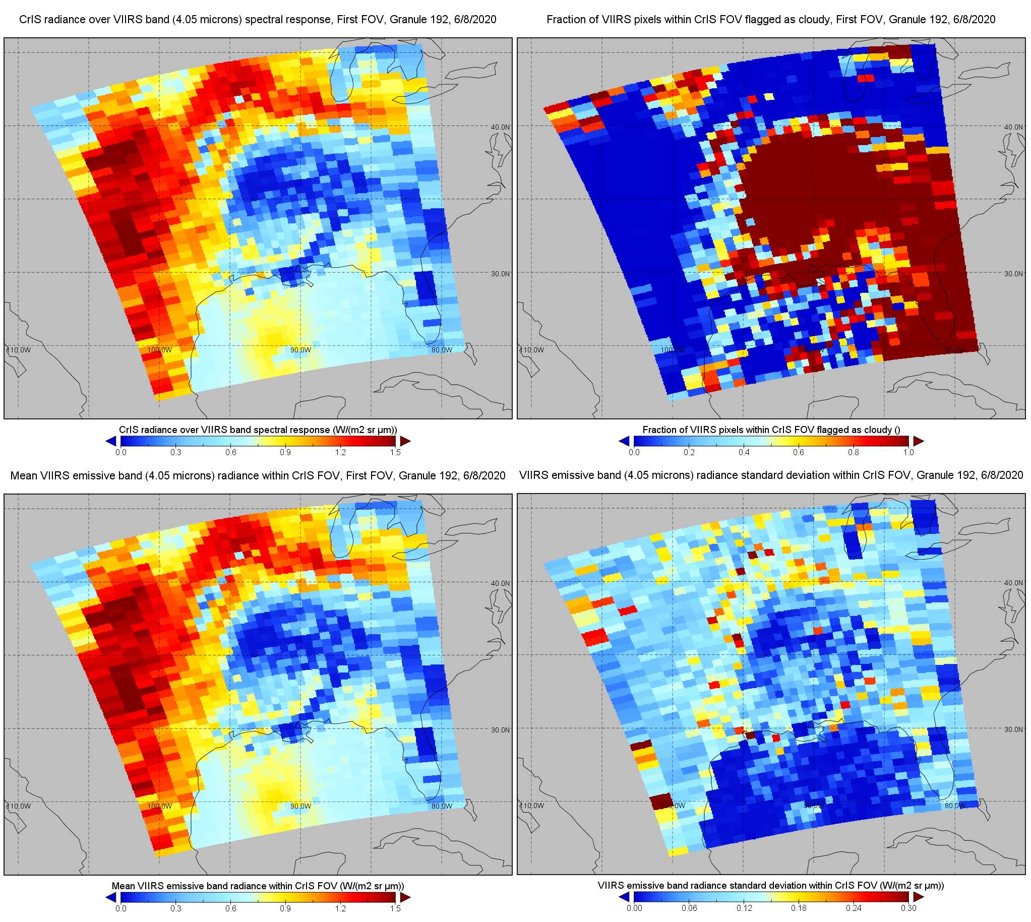
S-NPP CrIS IMG: Collocated VIIRS level 1 / cloud mask statistical summary V2 (SNDRSNCrISL1BIMG) at GES DISC
National Aeronautics and Space Administration —
The Cross-track Infrared Sounder (CrIS) Level 1B Normal Spectral Resolution (NSR) data files contain radiance measurements along with ancillary spacecraft,... -
Federal
BSEE Data Center - Geographic Mapping Data in Digital Format
Department of the Interior —
The geographic data are built from the Technical Information Management System (TIMS). TIMS consists of two separate databases: an attribute database and a spatial... -
Federal
CERES Energy Balanced and Filled (EBAF) TOA and Surface Monthly means data in netCDF Edition 4.1
National Aeronautics and Space Administration —
CERES_EBAF_Edition4.1 is the Clouds and the Earth's Radiant Energy System (CERES) Energy Balanced and Filled (EBAF) Top-of-Atmosphere (TOA) and surface monthly means... -
Federal
NACP Regional: National Greenhouse Gas Inventories and Aggregated Gridded Model Data
National Aeronautics and Space Administration —
This data set provides two products that were derived from the recently published North American Carbon Program (NACP) Regional Synthesis 1-degree terrestrial... -
Federal
CERES ERBE-like Gridded Instantaneous TOA Fluxes (ES9) NPP CERES FM-5 Edition2
National Aeronautics and Space Administration —
The ERBE-like Monthly Regional Averages (ES-9) product contains a month of space and time-averaged Clouds and the Earth's Radiant Energy System (CERES) data for a... -
Federal
TEMPO gridded formaldehyde total column V03 (PROVISIONAL)
National Aeronautics and Space Administration —
Formaldehyde Level 3 files provide trace gas information on a regular grid covering the TEMPO field of regard for nominal TEMPO observations. Level 3 files are... -
Federal
CALIPSO Lidar Level 3 Stratospheric Aerosol Profiles Standard V1-00
National Aeronautics and Space Administration —
CAL_LID_L3_Stratospheric_APro-Standard-V1-00 is the Cloud-Aerosol Lidar and Infrared Pathfinder Satellite Observation (CALIPSO) Lidar Level 3 Stratospheric Aerosol... -
Federal
RLC State and Regional Boundaries for the Former Soviet Union
National Aeronautics and Space Administration —
This data set of state and regional boundaries was derived from the 1:3 million scale administrative boundaries (ESRI, 1998) for the land area of the Former Soviet... -
Federal
SatCORPS CERES GEO Edition 4 Meteosat-10 Northern Hemisphere Version 1.2
National Aeronautics and Space Administration —
CER_GEO_Ed4_MET10_NH_V01.2 is the Satellite Cloud and Radiation Property retrieval System (SatCORPS) Clouds and the Earth's Radiant Energy System (CERES)... -
Federal
2023 National Offshore Wind data set (NOW-23)
Department of Energy —
The 2023 National Offshore Wind data set (NOW-23) is the latest wind resource data set for offshore regions in the United States, which supersedes, for its offshore... -
County
Housing Market Value Analysis - Allegheny County Economic Development
Allegheny County / City of Pittsburgh / Western PA Regional Data Center —
In 2017, the County Department of Economic Development, in conjunction with Reinvestment Fund, completed the 2016 Market Value Analysis (MVA) for Allegheny County. A... -
Federal
Process-structure-properties investigations for laser powder bed fused IN718 in the as-built condition
National Institute of Standards and Technology —
This data repository provides a central location for a body of work using one build of nickel-based alloy 718 (IN718) material and resulted in three different... -
Federal
JPSS-2 CrIS Level 1B Beta Full Spectral Resolution V3 (SNDRJ2CrISL1B) at GES DISC
National Aeronautics and Space Administration —
The goal of creating this product is to allow users to begin working with data from the CrIS instrument on-board the recently launched NOAA-21 / JPSS-2 (J2)... -
Federal
CERES Single Scanner Footprint (SSF) TOA/Surface Fluxes, Clouds and Aerosols TRMM-PFM Edition2B
National Aeronautics and Space Administration —
CER_SSF_TRMM-PFM-VIRS_Edition2B is the Clouds and the Earth's Radiant Energy System (CERES) Scanner Footprint (SSF) Top-of-Atmosphere (TOA)/Surface Fluxes, Clouds,... -
Federal
AMAZE-08 Aerosol Characterization and Meteorological Data, Central Amazon Basin: 2008
National Aeronautics and Space Administration —
This data set provides measurements from the Amazonian Aerosol Characterization Experiment (AMAZE-08) carried out during the wet season from February 4 to March 21,... -
Federal
CALIPSO Lidar Level 0 data
National Aeronautics and Space Administration —
CAL_LID_L0-Standard-V1-00 is the Cloud-Aerosol Lidar and Infrared Pathfinder Satellite Observation (CALIPSO) Lidar Level 0, Version 1-00 data product. These data...

Official websites use .gov
A
.gov website belongs to an official government
organization in the United States.
Secure .gov websites use HTTPS
A
lock (
) or https:// means you’ve safely connected to
the .gov website. Share sensitive information only on official,
secure websites.