

297 datasets found for "Aircraft"
-
Federal
CMAPSS Jet Engine Simulated Data
National Aeronautics and Space Administration —
Data sets consists of multiple multivariate time series. Each data set is further divided into training and test subsets. Each time series is from a different engine... -
Airport Runway and Taxiway
District of Columbia —
Taxiway, Apron: Delineate footprint of the following features. A taxiway connects aircraft to other areas and facilities of an airport. The apron is an area of an... -
Federal
Aviation Facilities NGDA
Federal Geographic Data Committee —
The Aviation Facilities dataset is updated every 28 days from the Federal Aviation Administration (FAA) and is part of the U.S. Department of Transportation... -
Federal
Geometry, Grid and Boundary Condition Data for EEE Combustor and Turbine
National Aeronautics and Space Administration —
The Energy Efficient Engine (EEE) program was funded by NASA in the mid-1970s to develop a more efficient turbofan engine for aircraft. The contractor reports and... -
Federal
Chart Supplements - Aeronautical Information Services Digital Products
Department of Transportation —
The Chart Supplements are searchable by individual airport in PDF format. They contain data on public and joint use airports, seaplane bases, heliports, VFR airport... -
Federal
PHM 2008 Challenge
National Aeronautics and Space Administration —
This dataset describes the degradation of an aircraft engine. The dataset was used for the prognostics challenge competition at the International Conference on... -
Federal
2024 Annual Technology Baseline (ATB) Cost and Performance Data for Transportation Technologies
Department of Energy —
The 2024 Transportation Annual Technology Baseline (ATB) provides detailed cost and performance data, estimates, and assumptions for vehicle and fuel technologies in... -
State
CA Perimeters CAL FIRE NIFC FIRIS public view
State of California —
The Wildland Fire Interagency Geospatial Services (WFIGS) Group provides authoritative geospatial data products under the interagency Wildland Fire Data Program,... -
Emissions Inventory
District of Columbia —
NEI point sources include emissions estimates for larger sources that are located at a fixed, stationary location. Point sources in the NEI include large industrial... -
Federal
BOREAS RSS-12 Airborne Tracking Sunphotometer Measurements (C-130)
National Aeronautics and Space Administration —
The BOREAS RSS-12 team collected both ground and airborne sunphotometer measurements for use in characterizing the aerosol optical properties of the atmosphere during... -
Federal
Aircraft Flux-Detrended: Univ. Col. (FIFE)
National Aeronautics and Space Administration —
The NCAR King Air participation in FIFE-1987 and FIFE-1989 was part of a coordinated atmospheric boundary layer component which included other aircraft, surface... -
Federal
SAFARI 2000 Surface Atmospheric Radiative Transfer (SMART), Dry Season 2000
National Aeronautics and Space Administration —
Surface-sensing Measurements for Radiative Transfer (SMART) and Chemical, Optical, and Microphysical Measurements of In-situ Troposphere (COMMIT) consist of a suite... -
Federal
Collection Biomechanics Test Database
Department of Transportation —
The NHTSA Biomechanics Test Database is a repository of experimental data used by NHTSA for developing Anthropomophic Test Devices and associated Injury Criteria. The... -
State
Solar Techno-economic Exclusion
State of California —
The site suitability criteria included in the techno-economic land use screens are listed below. As this list is an update to previous cycles, tribal lands, prime... -
Airport Runway and Taxiway 2021
District of Columbia —
Taxiway, Apron: Delineate footprint of the following features. A taxiway connects aircraft to other areas and facilities of an airport. The apron is an area of an... -
Federal
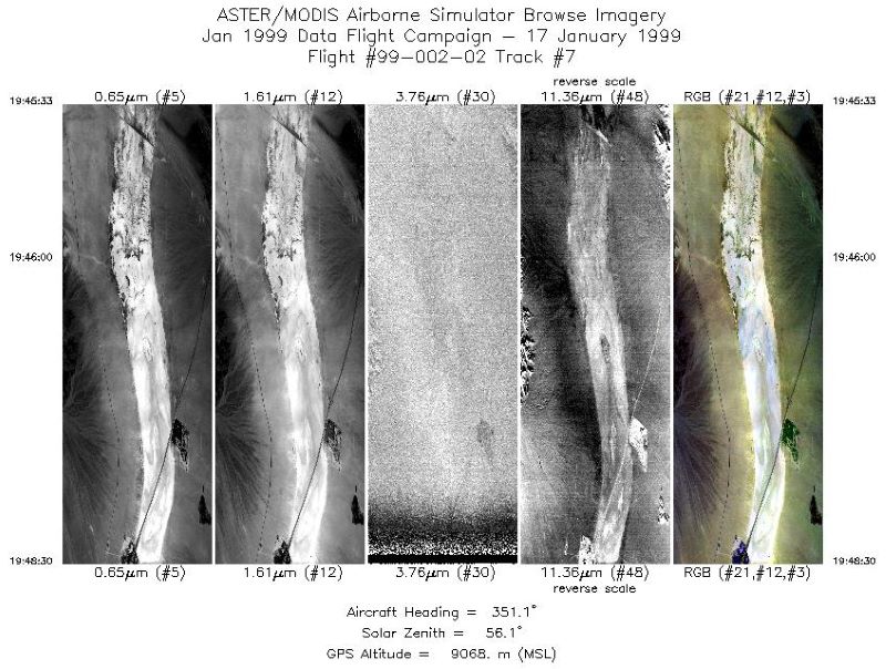
MASTER: Wildfire and farmland mapping, California, July, 2004
National Aeronautics and Space Administration —
This dataset includes Level 1B (L1B) and Level 2 (L2) data products from the MODIS/ASTER Airborne Simulator (MASTER) instrument. The spectral data were collected... -
Federal
Delta-X: UAVSAR L3 Water Level Changes, MRD, Louisiana, 2021
National Aeronautics and Space Administration —
This dataset contains georeferenced InSAR-derived water level change maps for Delta-X flight lines acquired during the spring (2021-03-27 to 2021-04-18) and fall... -
Federal
BOREAS RSS-16 AIRSAR CM V6.1 Images
National Aeronautics and Space Administration —
The BOREAS RSS-16 team used satellite and aircraft SAR data in conjunction with various ground measurements to determine the moisture regime of the boreal forest....
297 datasets found for "Aircraft"