
-
Federal
Large Scale International Boundaries NGDA
Department of State —
Overview The Office of the Geographer and Global Issues at the U.S. Department of State produces the Large Scale International Boundaries (LSIB) dataset. The current... -
Federal
Data from: Non-native scale insects (Hemiptera: Coccomorpha) of the United States and their impact on U.S. agriculture
Department of Agriculture —
Supplementary data files, figures, tables, and a list of R code used in analyses. These data, figures, and tables relate to the article entitled "Non-native scale... -
Federal
SDG Indicator 9.1.1: Rural Access Index (RAI), 2023 Release
National Aeronautics and Space Administration —
The SDG Indicator 9.1.1: The Rural Access Index (RAI), 2023 Release data set, part of the SDGI collection, measures the proportion of the rural population who live... -
Federal
2010 Environmental Performance Index (EPI)
National Aeronautics and Space Administration —
The 2010 Environmental Performance Index (EPI) ranks 163 countries on environmental performance based on twenty-five indicators grouped within ten core policy... -
Federal
Georeferenced U.S. County-Level Population Projections, Total and by Sex, Race and Age, Based on the SSPs, 2020-2100
National Aeronautics and Space Administration —
The Georeferenced U.S. County-Level Population Projections, Total and by Sex, Race and Age, Based on the SSPs, 2020-2100 consists of county-level population... -
Federal
MODIS/Terra Land Water Mask Derived from MODIS and SRTM L3 Global 250m SIN Grid V061
National Aeronautics and Space Administration —
The Terra Moderate Resolution Imaging Spectroradiometer (MODIS) Land Water Mask (MOD44W) Version 6.1 data product provides a global map of surface water at 250 meter... -
Federal
Utah FORGE: Optimization of a Plug-and-Perf Stimulation (Fervo Energy)
Department of Energy —
Information around the plug-and-perf treatment design at Utah FORGE by Fervo Energy. Objective and Purpose: - Develop a multistage hydraulic stimulation approach... -
Federal
CAR FIREACE Arctic Ice and Cloud Radiation BRDF V2 (CAR_FIREACE_BRDF) at GES DISC
National Aeronautics and Space Administration —
The scientific objectives of FIRE/ACE are to study impact of Arctic clouds on radiation exchange between surface, atmosphere, and space, and the influence of surface... -
Federal
MODIS/Terra+Aqua Photosynthetically Active Radiation Daily/3-Hour L3 Global 1km SIN Grid V062
National Aeronautics and Space Administration —
The MCD18A2 Version 6.2 is a Moderate Resolution Imaging Spectroradiometer (MODIS) Terra and Aqua combined Photosynthetically Active Radiation (PAR) gridded Level 3... -
Federal
Data and Code from: Smart vision-based monitoring system for AI-driven moth population estimation using camera-equipped trap imaging
Department of Agriculture —
Real-time, image-based monitoring for stored product insect pests could increase timely treatments and protection for postharvest products throughout the supply... -
Federal
ASTER Level 1T Precision Terrain Corrected Registered At-Sensor Radiance V004
National Aeronautics and Space Administration —
The Terra Advanced Spaceborne Thermal Emission and Reflection Radiometer (ASTER) Level 1 Precision Terrain Corrected Registered At-Sensor Radiance (AST_L1T) data... -
Federal
Data and code from: AI-based image profiling and detection for the beetle byte quintet using Vision Transformer (ViT) in advanced stored product infestation monitoring
Department of Agriculture —
Managing beetles that infest stored products is crucial for reducing losses in harvest supply chains and improving food security and safety. Successful pest... -
Federal
MODIS/Terra+Aqua Photosynthetically Active Radiation Daily/3-Hour L3 Global 0.05Deg CMG V062
National Aeronautics and Space Administration —
The MCD18C2 Version 6.2 is a Moderate Resolution Imaging Spectroradiometer (MODIS) Terra and Aqua combined Photosynthetically Active Radiation (PAR) gridded Level 3... -
State
California's Groundwater Live Supporting Data
State of California —
This dataset contains files and materials in support of the California's Groundwater Live website. California's Groundwater Live is a user-friendly platform that... -
Federal
Groundswell Spatial Population and Migration Projections at One-Eighth Degree According to SSPs and RCPs, 2010-2050
National Aeronautics and Space Administration —
The Groundswell Spatial Population and Migration Projections at One-Eighth Degree According to SSPs and RCPs, 2010-2050, data set provides a baseline population... -
Federal
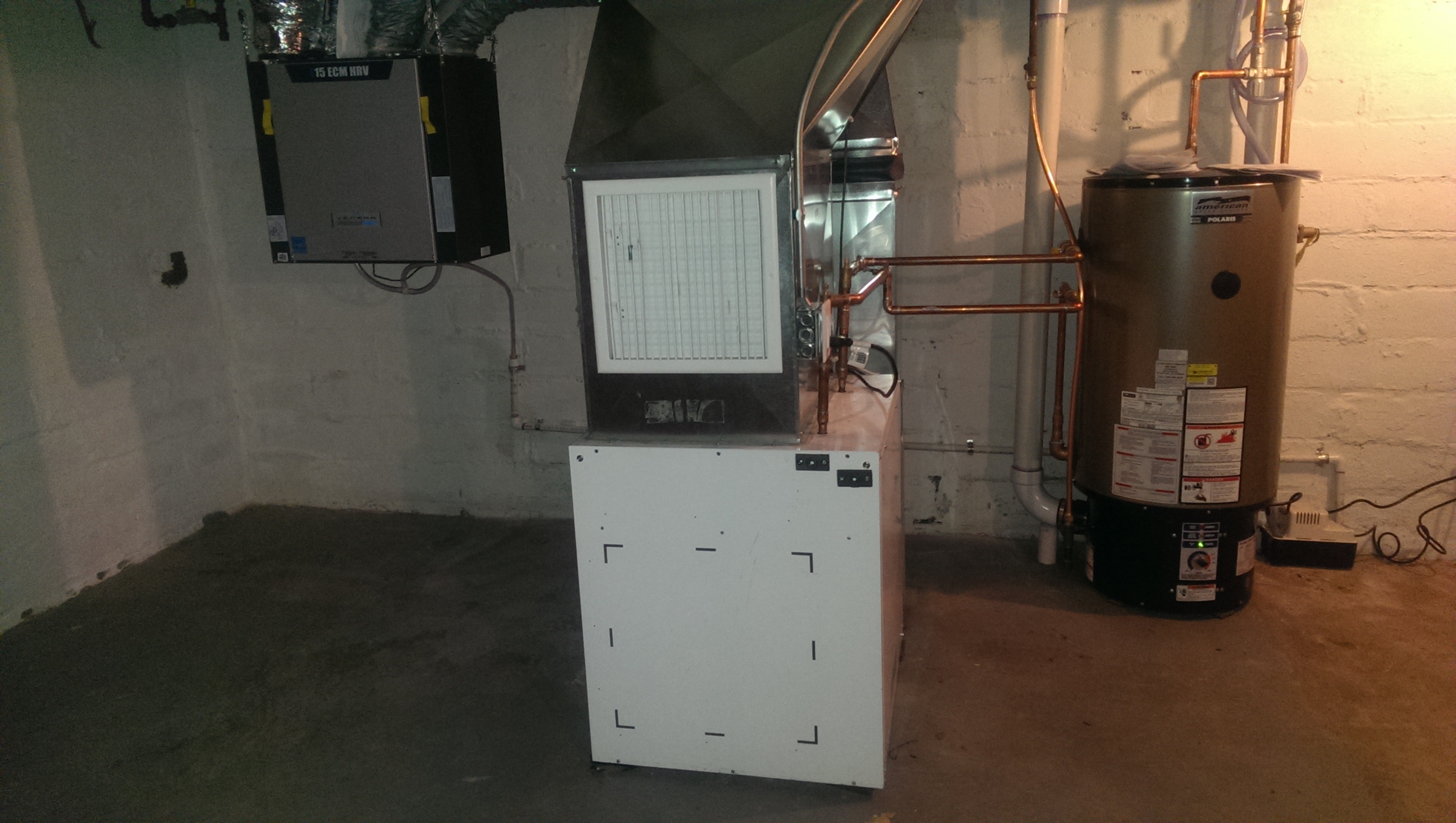
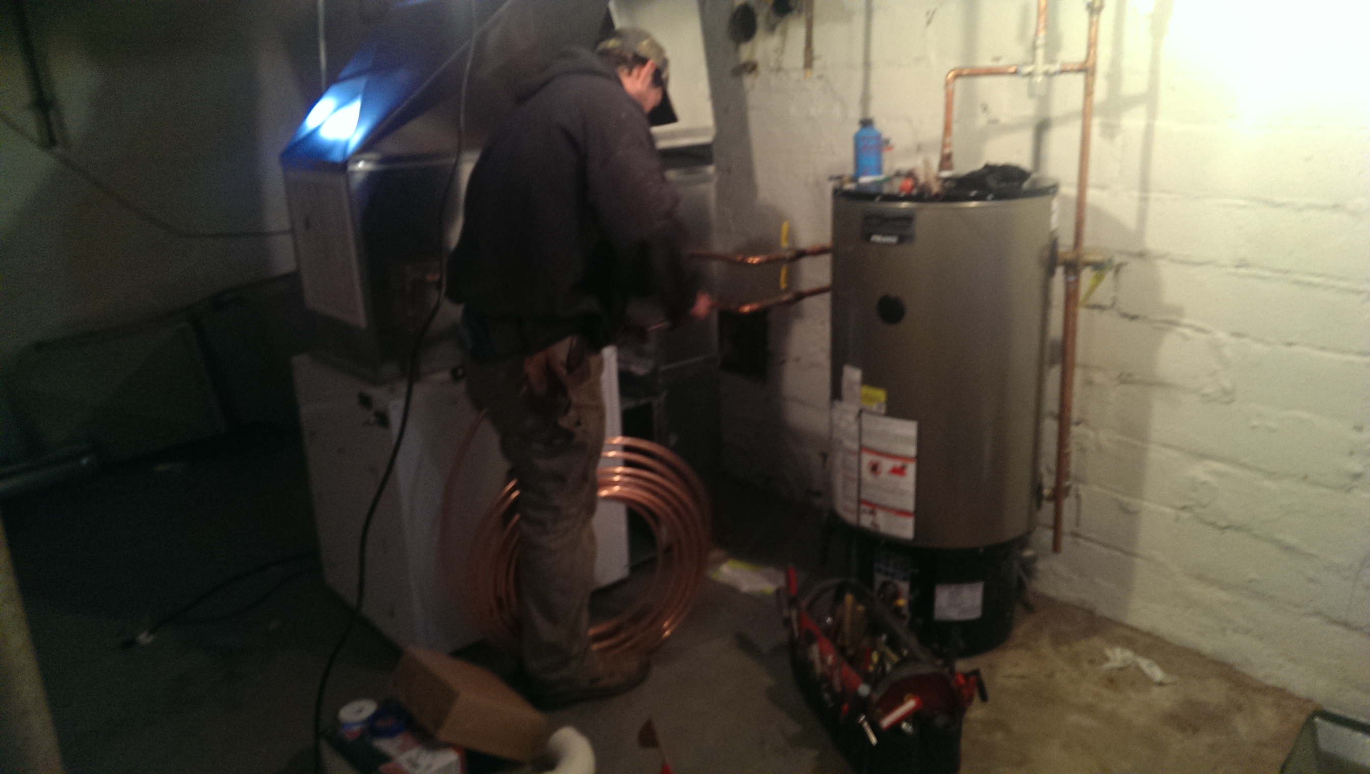
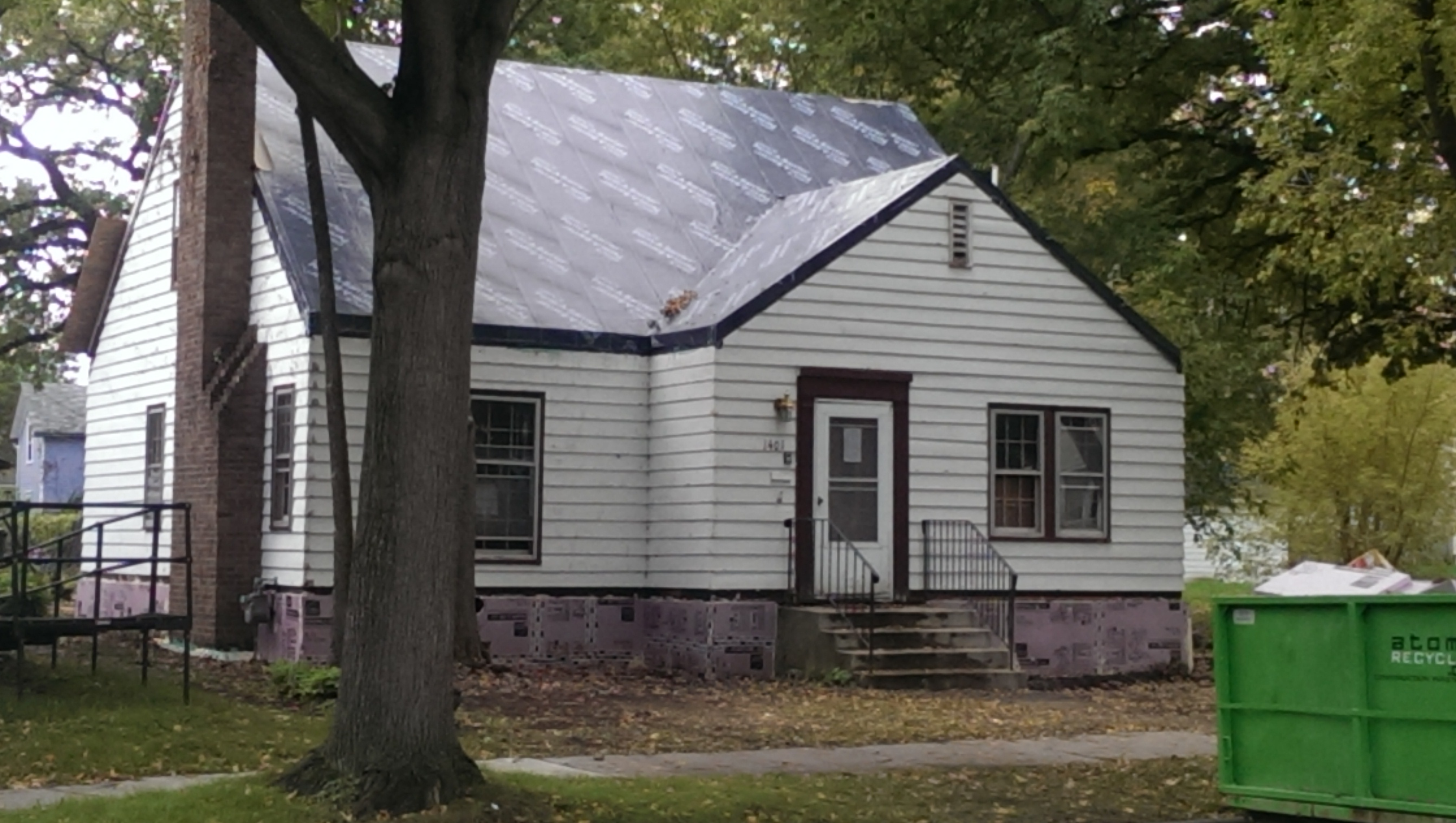
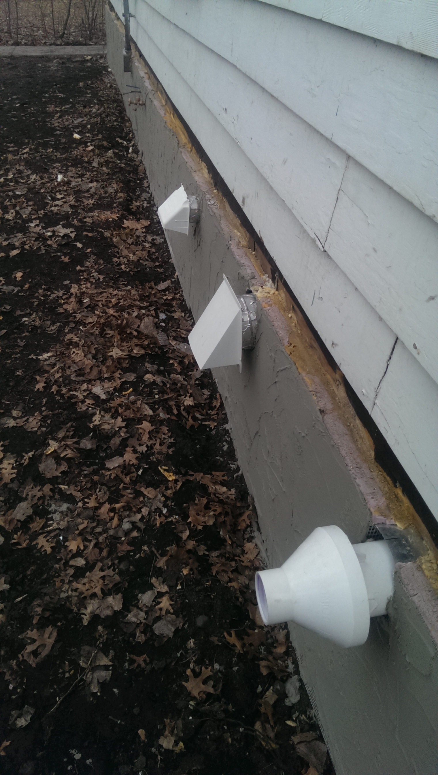
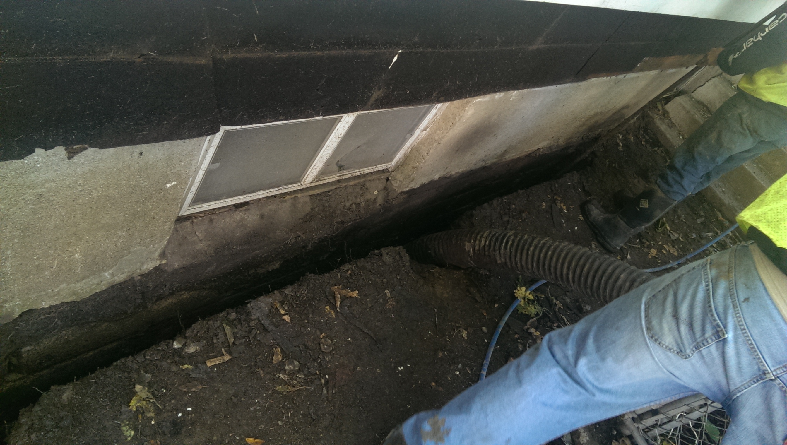
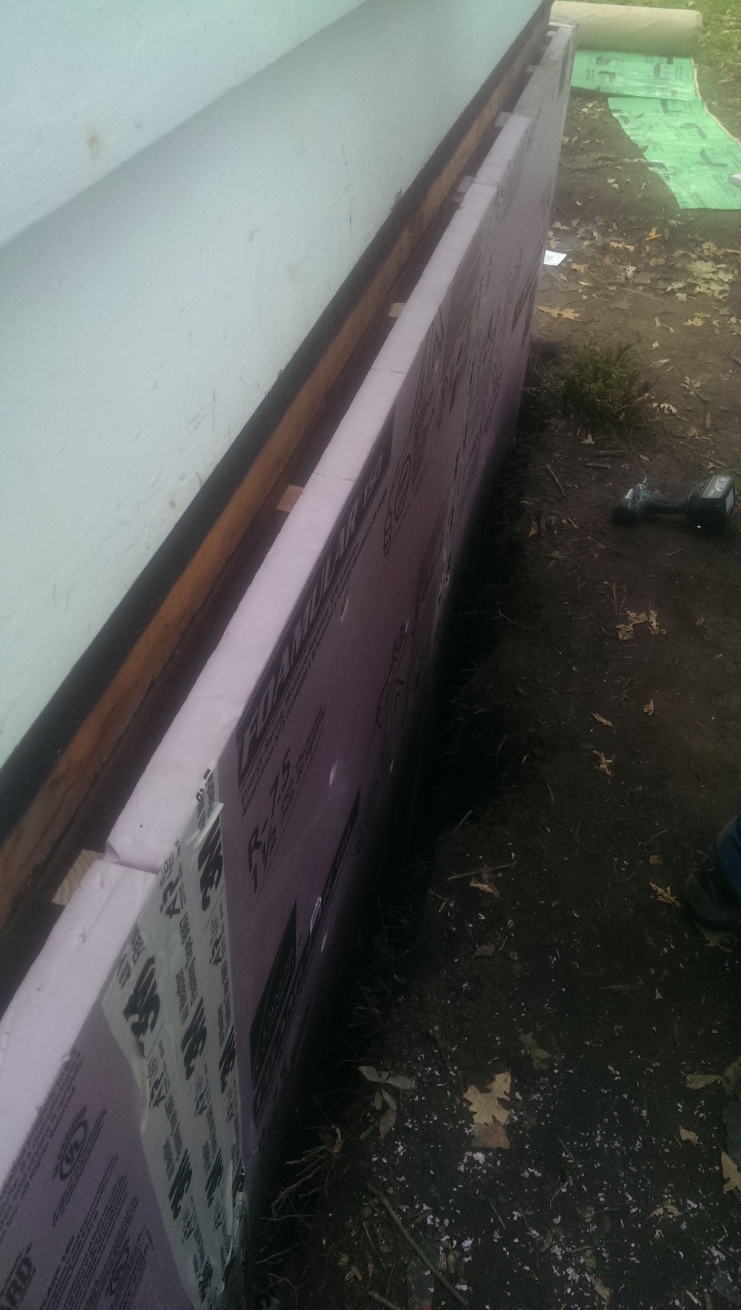
NorthernSTAR 1.5-Story Demonstration House of Cold Climate Solutions for Affordable Housing
Department of Energy —
This is a NorthernSTAR renovation project for Urban Homeworks incorporating installation of a combination space and water heater, Overcoat insulation retrofit on the... -
Federal
VIIRS/JPSS1 Vegetation Indices Monthly L3 Global 1km SIN Grid V002
National Aeronautics and Space Administration —
The NOAA-20 Visible Infrared Imaging Radiometer Suite (VIIRS) Vegetation Indices (VJ113A3) Version 2 data product provides vegetation indices by a process of... -
Federal
MODIS/Terra+Aqua Photosynthetically Active Radiation Daily/3-Hour L3 Global 1km SIN Grid V061
National Aeronautics and Space Administration —
The MCD18A2 Version 6.1 dataset was decommissioned on June 1, 2024. Users are encouraged to use the MCD18A2 Version 6.2 data product.The MCD18A2 Version 6.1 is a... -
Federal
Reservoir Stimulation Optimization with Operational Monitoring for Creation of EGS
Department of Energy —
EGS field projects have not sustained production at rates greater than half of what is needed for economic viability. The primary limitation that makes commercial EGS... -
Federal
Sub-global Scenarios that Extend the Global SSP Narratives: Literature Database, Version 1, 2014-2021
National Aeronautics and Space Administration —
The Sub-global Scenarios that Extend the Global SSP Narratives: Literature Database, Version 1, 2014-2021 consists of 37 columns of bibliographic data, methodological...

Official websites use .gov
A
.gov website belongs to an official government
organization in the United States.
Secure .gov websites use HTTPS
A
lock (
) or https:// means you’ve safely connected to
the .gov website. Share sensitive information only on official,
secure websites.