
-
Federal
Poverty Mapping Project: Poverty and Food Security Case Studies recent views
National Aeronautics and Space Administration —
The Poverty Mapping Project: Poverty and Food Security Case Studies data set consists of small area estimates of poverty, inequality, food security and related... -
Federal
Surficial geology of Africa (geo7_2ag) recent views
Department of the Interior —
Surficial geology (geo7_2ag). -
Federal
Elevation Map of Bangladesh (elev8bg) recent views
Department of the Interior —
This coverage includes polygons and polygon labels that show areas with certain elevation levels of Bangladesh. -
Federal
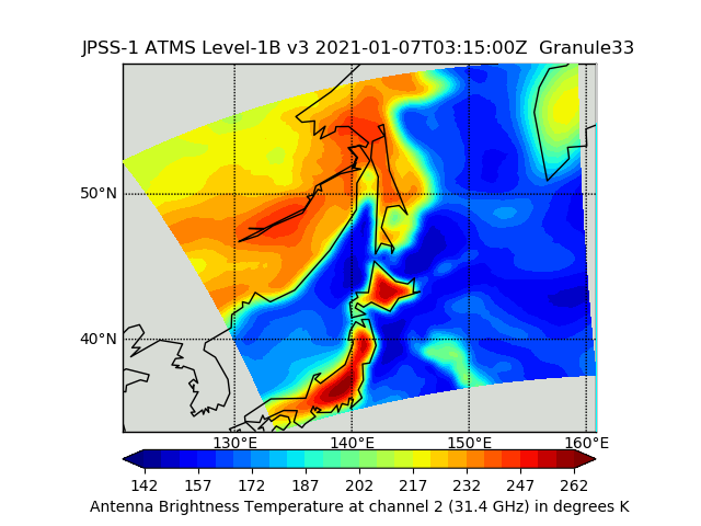
JPSS-1 ATMS Level 1B Brightness Temperature V3 (SNDRJ1ATMSL1B) at GES DISC recent views
National Aeronautics and Space Administration —
The Advanced Technology Microwave Sounder (ATMS) Level 1B data files contain brightness temperature measurements along with ancillary spacecraft, instrument, and... -
Federal
NACP North American Forest Dynamics Project: Forest Disturbance and Regrowth Data recent views
National Aeronautics and Space Administration —
This data set provides the results of time-series analyses of Landsat imagery for 55 selected forested sites across the conterminous U.S.A. The output is a pair of... -
Federal
LiDAR Surveys over Selected Forest Research Sites, Brazilian Amazon, 2008-2018 recent views
National Aeronautics and Space Administration —
This dataset provides the complete catalog of point cloud data collected during LiDAR surveys over selected forest research sites across the Amazon rainforest in... -
Federal
Declassified Satellite Imagery 2 (2002) recent views
National Aeronautics and Space Administration —
Declassified satellite images provide an important worldwide record of land-surface change. With the success of the first release of classified satellite photography... -
Federal
Ground-Based Global Navigation Satellite System (GNSS) GPS Broadcast Ephemeris Data (daily files) from NASA CDDIS recent views
National Aeronautics and Space Administration —
This dataset consists of ground-based Global Navigation Satellite System (GNSS) GPS Broadcast Ephemeris Data (daily files) from the NASA Crustal Dynamics Data... -
Federal
Poverty Mapping Project: Global Subnational Prevalence of Child Malnutrition recent views
National Aeronautics and Space Administration —
The Poverty Mapping Project: Global Subnational Prevalence of Child Malnutrition data set consists of estimates of the percentage of children with weight-for-age... -
Federal
Glacier Covered Area for the State of Alaska, 1985-2020, Version 1 recent views
National Aeronautics and Space Administration —
This data set captures changes in glacier covered area across the state of Alaska for the period 1985 to 2020.The data set includes 18 biannual shapefiles each for... -
Federal
Surface Geology of Bangladesh (geo8bg) recent views
Department of the Interior —
This coverage includes arcs, polygons, and polygon labels that describe the geologic age and type of surface outcrops of bedrock of the Bangladesh. It also includes... -
Federal
Sea Ice Index, Version 3 recent views
National Aeronautics and Space Administration —
The Sea Ice Index provides a quick look at Arctic- and Antarctic-wide changes in sea ice. It is a source for consistent, up-to-date sea ice extent and concentration... -
Federal
Groundswell Spatial Population and Migration Projections at One-Eighth Degree According to SSPs and RCPs, 2010-2050 recent views
National Aeronautics and Space Administration —
The Groundswell Spatial Population and Migration Projections at One-Eighth Degree According to SSPs and RCPs, 2010-2050, data set provides a baseline population... -
Federal
USGS National Assessment of Oil and Gas Project - Shale Gas Assessment Units recent views
Department of the Interior —
-
Federal
GLDAS Catchment Land Surface Model L4 daily 0.25 x 0.25 degree GRACE-DA1 V2.2 (GLDAS_CLSM025_DA1_D) at GES DISC recent views
National Aeronautics and Space Administration —
NASA Global Land Data Assimilation System Version 2 (GLDAS-2) has three components: GLDAS-2.0, GLDAS-2.1, and GLDAS-2.2. GLDAS-2.0 is forced entirely with the... -
Federal
Earth Radiation Budget Experiment (ERBE) S-9 Scanner Radiant Flux recent views
National Aeronautics and Space Administration —
ERBE_S9_NAT is the Earth Radiation Budget Experiment (ERBE) S-9 Scanner Radiant Flux data set. It contains inverted daily, monthly hourly, and monthly averages of... -
Federal
Global Landslide Nowcast from LHASA L4 1 day 1 km x 1 km version 1.1 (Global_Landslide_Nowcast) at GES DISC recent views
National Aeronautics and Space Administration —
The Landslide Hazard Analysis for Situational Awareness (LHASA) model identifies locations with high potential for landslide occurrence at a daily temporal... -
Federal
Bathymetric contours of part of Bay of Bengal (bath8bg) recent views
Department of the Interior —
This coverage includes lines that describe sea depths on Bay of Bengal. -
Federal
Poverty Mapping Project: Small Area Estimates of Poverty and Inequality recent views
National Aeronautics and Space Administration —
The Poverty Mapping Project: Small Area Estimates of Poverty and Inequality data set consists of consumption-based poverty, inequality and related measures for...

Official websites use .gov
A
.gov website belongs to an official government
organization in the United States.
Secure .gov websites use HTTPS
A
lock (
) or https:// means you’ve safely connected to
the .gov website. Share sensitive information only on official,
secure websites.