
-
Federal
GPM IMERG Final Precipitation L3 1 day 0.1 degree x 0.1 degree V07 (GPM_3IMERGDF) at GES DISC
National Aeronautics and Space Administration —
Version 07 is the current version of the data set. Older versions will no longer be available and have been superseded by Version 07.The Integrated Multi-satellitE... -
Federal
AIS Vessel Transit Counts 2024
National Oceanic and Atmospheric Administration, Department of Commerce —
Automatic Identification Systems (AIS) are a navigation safety device that transmits and monitors the location and characteristics of many vessels in U.S. and... -
Federal
NACP Regional: National Greenhouse Gas Inventories and Aggregated Gridded Model Data
National Aeronautics and Space Administration —
This data set provides two products that were derived from the recently published North American Carbon Program (NACP) Regional Synthesis 1-degree terrestrial... -
Federal
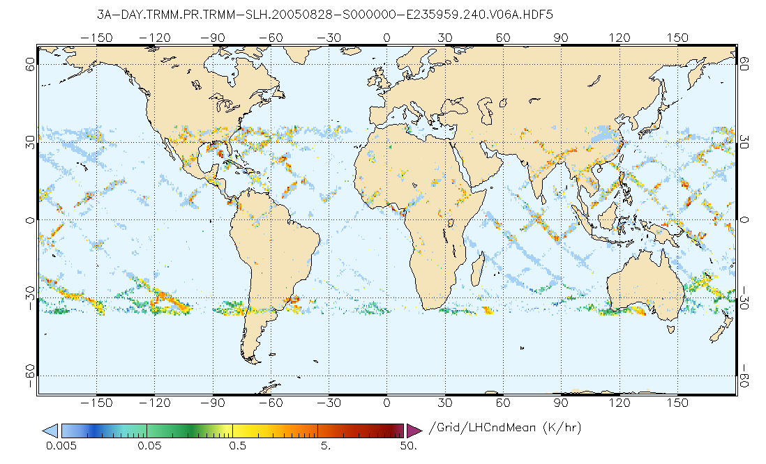
GPM PR on TRMM Spectral Latent Heating Profiles L3 1 Day 0.5x0.5 degree V07 (GPM_3HSLH_TRMM_DAY) at GES DISC
National Aeronautics and Space Administration —
This a new (GPM-formated) TRMM product. There is no equivalent in the old TRMM suite of products.Version 07 is the current version of the data set. Older versions... -
Federal
OMI/Aura Formaldehyde (HCHO) Total Column Daily L3 Weighted Mean Global 0.1deg Lat/Lon Grid V003 (OMHCHOd) at GES DISC
National Aeronautics and Space Administration —
The OMI/Aura Formaldehyde (HCHO) Total Column Daily L3 Weighted Mean Global 0.1deg Lat/Lon Grid (OMHCHOd). The formaldehyde values in each file are the average for... -
Federal
OSU SST Climatology V2, MODIS Aqua, West US, 2002-2003, Lon0360
National Oceanic and Atmospheric Administration, Department of Commerce —
This suite of CHLA and SST climatology and anomaly data products are derived from daily, 0.0125 degree x 0.0125 degree, MODIS Aqua CHLA and SST fields that cover the... -
Federal
MODIS/Terra+Aqua Direct Broadcast Burned Area Monthly L3 Global 500m SIN Grid V061
National Aeronautics and Space Administration —
The Terra and Aqua combined MCD64A1 Version 6.1 Burned Area data product is a monthly, global gridded 500 meter (m) product containing per-pixel burned-area and... -
Federal
SAFARI 2000 Carbon in Live Vegetation, 0.5-Deg (Olson)
National Aeronautics and Space Administration —
This data set is a subset of Olson's Major World Ecosystem Complexes for southern Africa in ASCII GRID and binary image files formats. Olson's Major World Ecosystem... -
Federal
Regridded Harmonized World Soil Database v1.2
National Aeronautics and Space Administration —
This data set describes select global soil parameters from the Harmonized World Soil Database (HWSD) v1.2, including additional calculated parameters such as area... -
Federal
Slope Grid Derived from Gridded Bathymetry for Select U.S. Coral Reef Locations across the Pacific Ocean
National Oceanic and Atmospheric Administration, Department of Commerce —
Slope is derived for islands and banks across the U.S. Pacific Islands Region primarily from gridded multibeam bathymetry collected aboard NOAA Ships Hi'ialakai and... -
Federal
GPM PR and TMI on TRMM Combined Convective-Stratiform Latent Heating Profiles L3 1 month 0.25x0.25 degree V07 (GPM_3HCSH_TRMM) at GES DISC
National Aeronautics and Space Administration —
This is the new (GPM-formated) TRMM product. It replaces the old TRMM legacy TRMM_3H31Version 07 is the current version of the data set. Older versions will no longer... -
Federal
GPM IMERG Late Precipitation L3 1 day 0.1 degree x 0.1 degree V07 (GPM_3IMERGDL) at GES DISC
National Aeronautics and Space Administration —
Version 07 is the current version of the data set. Older versions will no longer be available and have been superseded by Version 07.The Integrated Multi-satellitE... -
Federal
MODIS/Terra+Aqua Direct Broadcast Burned Area Monthly L3 Global 500m SIN Grid V006
National Aeronautics and Space Administration —
The MCD64A1 Version 6 data product was decommissioned on July 31, 2023. Users are encouraged to use the MCD64A1... -
Federal
NCCOS Assessment: A Wind Energy Area Siting Analysis for the Oregon Call Areas, 2014-11-24 to 2024-02-14 (NCEI Accession 0306723)
National Oceanic and Atmospheric Administration, Department of Commerce —
This data collection contains geospatial data supporting the suitability analysis for Wind Energy Areas (WEAs) within Bureau of Ocean Energy Managementâs (BOEM)... -
Federal
VIIRS/NPP Land Surface Temperature/Emissivity Daily L3 Global 1km SIN Grid Day V001
National Aeronautics and Space Administration —
The NASA/NOAA Suomi National Polar-orbiting Partnership (Suomi NPP) Visible Infrared Imaging Radiometer Suite (VIIRS) Land Surface Temperature and Emissivity... -
Federal
Northern fur seal foraging behavior and prey fields in the Bering Sea, Alaska during July-October 2006
National Oceanic and Atmospheric Administration, Department of Commerce —
These data were used by Kuhn et al. (2015) to investigate how conclusions about predator-prey relationships change with increasing temporal disparity between predator... -
Federal
VIIRS/NPP Land Surface Temperature/Emissivity Daily L3 Global 1km SIN Grid Day V001
National Aeronautics and Space Administration —
The VNP21A1D VIIRS Version 1 data product was decommissioned on April 8th, 2025. Users are encouraged to use Version 2 data products, which provideFederalMODIS/Terra Land Surface Temperature/3-Band Emissivity Daily L3 Global 1km SIN Grid Day V061
National Aeronautics and Space Administration —
A suite of Moderate Resolution Imaging Spectroradiometer (MODIS) Land Surface Temperature and Emissivity (LST&E) products are available in Collection 6.1. The...196 datasets found for ""Grid Cells""

Official websites use .gov
A
.gov website belongs to an official government
organization in the United States.
Secure .gov websites use HTTPS
A
lock (
) or https:// means you’ve safely connected to
the .gov website. Share sensitive information only on official,
secure websites.