
-
Federal
GPM IMERG Final Precipitation L3 1 day 0.1 degree x 0.1 degree V07 (GPM_3IMERGDF) at GES DISC
National Aeronautics and Space Administration —
Version 07 is the current version of the data set. Older versions will no longer be available and have been superseded by Version 07.The Integrated Multi-satellitE... -
Federal
Global Flood Hazard Frequency and Distribution
National Aeronautics and Space Administration —
The Global Flood Hazard Frequency and Distribution is a 2.5 minute grid derived from a global listing of extreme flood events between 1985 and 2003 (poor or missing... -
Federal
Gridded Population of the World, Version 4 (GPWv4): Population Count, Revision 11
National Aeronautics and Space Administration —
The Gridded Population of the World, Version 4 (GPWv4): Population Count, Revision 11 consists of estimates of human population (number of persons per pixel),... -
State
Solar Radiation - Monthly and Annual Normals
State of Oregon —
Monthly 30-year "normal" dataset covering the conterminous U.S., averaged over the climatological period 1991-2020. Contains spatially gridded average annual daily... -
Federal
Global Human Settlement Layer: Population and Built-Up Estimates, and Degree of Urbanization Settlement Model Grid
National Aeronautics and Space Administration —
The Global Human Settlement Layer: Population and Built-Up Estimates, and Degree of Urbanization Settlement Model Grid data set provides gridded data on human... -
Federal
Global Volcano Hazard Frequency and Distribution
National Aeronautics and Space Administration —
Global Volcano Hazard Frequency and Distribution is a 2.5 minute gridded data set based upon the National Geophysical Data Center (NGDC) Volcano Database spanning the... -
Federal
Stanford Thermal Earth Model for the Conterminous United States
Department of Energy —
Provided here are various forms of the Stanford Thermal Earth Model, as well as the data and methods used for its creation. The predictions produced by this model... -
Federal
Global 15 x 15 Minute Grids of the Downscaled GDP Based on the SRES B2 Scenario, 1990 and 2025
National Aeronautics and Space Administration —
The Global 15x15 Minute Grids of the Downscaled GDP Based on the Special Report on Emissions Scenarios (SRES) B2 Scenario, 1990 and 2025, are geospatial distributions... -
Federal
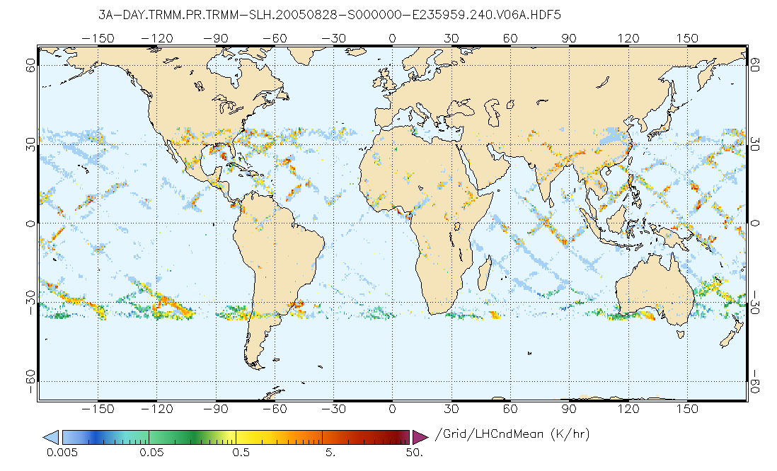
GPM PR on TRMM Spectral Latent Heating Profiles L3 1 Day 0.5x0.5 degree V07 (GPM_3HSLH_TRMM_DAY) at GES DISC
National Aeronautics and Space Administration —
This a new (GPM-formated) TRMM product. There is no equivalent in the old TRMM suite of products.Version 07 is the current version of the data set. Older versions... -
Federal
Age, spreading rates, and spreading asymmetry of the world's ocean crust
National Oceanic and Atmospheric Administration, Department of Commerce —
The authors present four companion digital models of the age, age uncertainty, spreading rates and spreading asymmetries of the world's ocean basins as geographic and... -
Federal
NACP Regional: National Greenhouse Gas Inventories and Aggregated Gridded Model Data
National Aeronautics and Space Administration —
This data set provides two products that were derived from the recently published North American Carbon Program (NACP) Regional Synthesis 1-degree terrestrial... -
Federal
Global Earthquake Hazard Frequency and Distribution
National Aeronautics and Space Administration —
The Global Earthquake Hazard Frequency and Distribution is a 2.5 minute grid utilizing Advanced National Seismic System (ANSS) Earthquake Catalog data of actual... -
Federal
Daily and Annual PM2.5 Concentrations for the Contiguous United States, 1-km Grids, v1 (2000 - 2016)
National Aeronautics and Space Administration —
The Daily and Annual PM2.5 Concentrations for the Contiguous United States, 1-km Grids, v1 (2000 - 2016) data set includes predictions of PM2.5 concentrations in grid... -
Federal
Global Gravity Grids, Geoid Height and Gravity Anomaly Profiles
National Oceanic and Atmospheric Administration, Department of Commerce —
The entire collection of GEOSAT ERM (Nov.'86 - Dec. '89) data over land and ice regions is held at the National Geophysical Data Center (NGDC). These data will yield... -
Federal
Last of the Wild Project, Version 2, 2005 (LWP-2): Global Human Footprint Dataset (Geographic)
National Aeronautics and Space Administration —
The Global Human Footprint Dataset of the Last of the Wild Project, Version 2, 2005 (LWP-2) is the Human Influence Index (HII) normalized by biome and realm. The HII... -
Federal
Gridded Population of the World, Version 4 (GPWv4): Population Density, Revision 11
National Aeronautics and Space Administration —
The Gridded Population of the World, Version 4 (GPWv4): Population Density, Revision 11 consists of estimates of human population density (number of persons per... -
Federal
VIIRS/NPP Land Surface Temperature/Emissivity Daily L3 Global 1km SIN Grid Day V001
National Aeronautics and Space Administration —
The NASA/NOAA Suomi National Polar-orbiting Partnership (Suomi NPP) Visible Infrared Imaging Radiometer Suite (VIIRS) Land Surface Temperature and Emissivity...

Official websites use .gov
A
.gov website belongs to an official government
organization in the United States.
Secure .gov websites use HTTPS
A
lock (
) or https:// means you’ve safely connected to
the .gov website. Share sensitive information only on official,
secure websites.