
-
Federal
Pre-Delta-X: AVIRIS-derived Total Suspended Solids Maps for MRD, LA, USA, 2015-2016
National Aeronautics and Space Administration —
This dataset includes total suspended solids (TSS) at the water surface across the Atchafalaya and Terrebonne Basins in Southern Louisiana, USA, within the... -
Federal
Arctic Vegetation Plots, Prudhoe Bay ArcSEES Road Study, Lake Colleen, Alaska, 2014
National Aeronautics and Space Administration —
This dataset provides environmental, soil, and vegetation data collected from study plots in the vicinity of Lake Colleen off the Spine Road at Prudhoe Bay, Alaska,... -
Federal
Delta-X: UAVSAR L1 Single Look Complex (SLC) Stack Products, MRD, Louisiana, 2021
National Aeronautics and Space Administration —
This dataset contains UAVSAR Level 1 (L1) Single Look Complex (SLC) stack products for Delta-X flight lines acquired during 2021-03-27 to 2021-04-18 (spring) and... -
Federal
Arctic Vegetation Plots in Northern NWT and YT, Canada, 1965-1966
National Aeronautics and Space Administration —
This dataset provides vegetation, soil, and plot characteristics for 154 study plots located at three sites across the Richardson Mountains, Northwest Territories... -
Federal
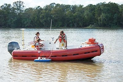
Pre-Delta-X: River Discharge Channel Surveys across Atchafalaya Basin, LA, USA, 2016
National Aeronautics and Space Administration —
This dataset provides river discharge measurements collected at selected locations across the Atchafalaya River Basin, within the Mississippi River Delta (MRD)... -
Federal
Pre-Delta-X: Spectral Reflectance of Water Surface, Atchafalaya Basin, LA, USA, 2016
National Aeronautics and Space Administration —
This dataset provides measurements of in situ remote-sensing reflectance (Rrs; per steradian) of surface water across Atchafalaya Basin, southern coastal Louisiana,... -
Federal
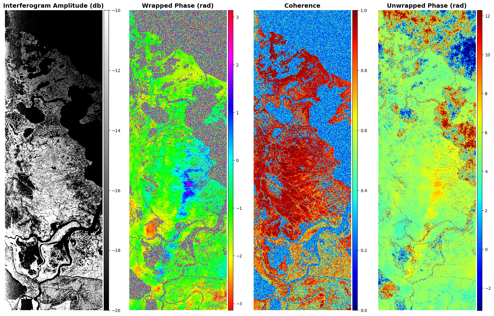
Pre-Delta-X: L1 UAVSAR Single Look Complex and Interferograms, MRD, LA, USA, 2016
National Aeronautics and Space Administration —
This Level 1 (L1) dataset includes single look complex (SLC) stack products and co-registered interferograms in the HH (horizontal transmit and horizontal receive)... -
Federal
Pre-Delta-X: Water Levels across Wax Lake Outlet, Atchafalaya Basin, LA, USA, 2016
National Aeronautics and Space Administration —
This dataset provides absolute water level elevations derived for 10 locations across the Wax Lake Delta, Atchafalaya Basin, in Southern Louisiana, USA, within the... -
Federal
Delta-X: UAVSAR L3 Water Level Changes, MRD, Louisiana, 2021
National Aeronautics and Space Administration —
This dataset contains georeferenced InSAR-derived water level change maps for Delta-X flight lines acquired during the spring (2021-03-27 to 2021-04-18) and fall... -
Federal
Delta-X: AVIRIS-NG L1B Spectral Radiance Products, MRD, Louisiana, 2021
National Aeronautics and Space Administration —
This dataset provides Level 1B (L1B) radiance products from NASA's Airborne Visible Infrared Imaging Spectrometer- Next Generation (AVIRIS-NG) instrument acquired... -
Federal
SAFARI 2000 Hydrographic Data, 1-Deg, Release 2.2 (Cogley)
National Aeronautics and Space Administration —
This southern African subset of the Global Hydrographic data set (GGHYDRO) Release 2.2 is organized into 19 files containing terrain type, stream frequency counts,... -
Federal
Delta-X: AVIRIS-NG L2 Surface Reflectance, MRD Louisiana, 2021
National Aeronautics and Space Administration —
This dataset provides Level 2 (L2) atmospherically corrected surface reflectance data acquired from NASA's Airborne Visible-Infrared Imaging Spectrometer-Next... -
Federal
Pre-Delta-X: Total Suspended Solids of Surface Water across MRD, LA, USA, 2015-2016
National Aeronautics and Space Administration —
This dataset contains the total suspended solids (TSS) concentration of in situ water samples collected at selected sites across the Atchafalaya and Terrebonne Basins... -
Federal
Pre-LBA FLOODAMA Project Data
National Aeronautics and Space Administration —
This data set provides a digital mosaic of the Amazon River floodplain that was compiled using Landsat TM images. This mosaic was planned in July 1995 as an activity... -
Federal
Pre-LBA ISLSCP Initiative I Data
National Aeronautics and Space Administration —
This data set contains hydrology, soils, radiation, cloud, and vegetation data from the International Satellite Land Surface Climatology Project (ISLSCP) Initiative... -
Federal
Delta-X: Island and Secondary Channel Model, MRD, LA, USA, 2022
National Aeronautics and Space Administration —
This dataset includes model code and output for a model that simulates changes in islands and small water channels of river delta systems in response to dynamics of... -
Federal
Delta-X: Bed and Suspended Sediment Grain Size, MRD, LA, USA, 2021, Version 2
National Aeronautics and Space Administration —
This dataset provides sediment concentration and grain size distribution measurements from suspended and bed sediment samples collected in the Atchafalaya and... -
Federal
Maps of Vegetation Types and Physiographic Features, Toolik Lake Area, Alaska
National Aeronautics and Space Administration —
This data set provides the spatial distributions of vegetation types, soil carbon, and physiographic features in the Toolik Lake area, Alaska. Specific attributes... -
Federal
Delta-X: UAVSAR L2 Interferometric Products, MRD, Louisiana, 2021
National Aeronautics and Space Administration —
This dataset contains georeferenced UAVSAR Level 2 (L2) interferometric products for Delta-X flight lines acquired during the spring (2021-03-27 to 2021-04-18) and... -
Federal
Delta-X: UAVSAR L1B Interferometric Products, MRD, Louisiana, 2021
National Aeronautics and Space Administration —
This dataset contains UAVSAR Level 1B (L1B) interferometric products for Delta-X flight lines acquired during the 2021 Spring (2021-03-27 to 2021-04-18) and Fall...

Official websites use .gov
A
.gov website belongs to an official government
organization in the United States.
Secure .gov websites use HTTPS
A
lock (
) or https:// means you’ve safely connected to
the .gov website. Share sensitive information only on official,
secure websites.