
-
Federal
NACP Aboveground Biomass and Carbon Baseline Data, V.2 (NBCD 2000), U.S.A., 2000
National Aeronautics and Space Administration —
The NBCD 2000 (National Biomass and Carbon Dataset for the Year 2000) data set provides a high-resolution (30 m) map of year-2000 baseline estimates of basal area-... -
Federal
LBA-ECO LC-08 Soil, Vegetation, and Land Cover Maps for Brazil and South America
National Aeronautics and Space Administration —
This data set provides (1) soil maps for Brazil that are digital versions of the MAPA DE SOLOS DO BRASIL (EMBRAPA, 1981) classified at three levels of detail,... -
Federal
LBA-ECO LC-01 Landsat TM Land Use/Land Cover, Northern Ecuadorian Amazon: 1986-1999
National Aeronautics and Space Administration —
This data set contains Landsat TM imagery for the years 1986, 1989, 1996, and 1999, that have been classified into four land use/land cover (LULC) classes: Forest,... -
Federal
BOREAS RSS-10 TOMS Circumpolar One-Degree PAR Images
National Aeronautics and Space Administration —
The BOREAS RSS-10 team investigated the magnitude of daily, seasonal, and yearly variations of PAR from ground and satellite observations. This data set contains... -
Federal
ABoVE: Thaw Depth at Selected Unburned and Burned Sites Across Alaska
National Aeronautics and Space Administration —
This dataset provides thaw depth measurements made at seven locations across Alaska, during August 2016, June and September 2017, and July-August 2018. Three of the... -
Federal
ABoVE: White Spruce Photosynthetic and Leaf Traits, Alaska and New York, 2017
National Aeronautics and Space Administration —
This dataset provides measurements of gas exchange (light response curves, Kok curves and ACi curves), leaf traits (carbon, nitrogen, and specific leaf area), leaf... -
Federal
Eddy Corr. Surface Flux: ANL (FIFE)
National Aeronautics and Space Administration —
The Eddy Correlation Surface Flux Observations (Argonne) Data Set contains surface flux measurements made at selected sites within the FIFE study area. The surface... -
Federal
VEMAP 1: U.S. Site Files
National Aeronautics and Space Administration —
The Vegetation/Ecosystem Modeling and Analysis Project (VEMAP) is an ongoing multiinstitutional, international effort addressing the response of biogeography and... -
Federal
Global Historical Climatology Network, 1753-1990
National Aeronautics and Space Administration —
This data set contains monthly temperature, precipitation, sea-level pressure, and station-pressure data for thousands of meteorological stations worldwide. The... -
Federal
Arctic Boreal Annual Burned Area, Circumpolar Boreal Forest and Tundra, V2, 2002-2022
National Aeronautics and Space Administration —
This dataset provides annual cumulative end-of-season burned area in circumpolar boreal forests and tundra for the years 2002-2022. The data were generated using the... -
Federal
CARVE: L2 Atmospheric Gas Concentrations, Airborne Flasks, Alaska, 2012-2015
National Aeronautics and Space Administration —
This data set provides atmospheric carbon dioxide (CO2), methane (CH4), carbon monoxide (CO), molecular hydrogen (H2), nitrous oxide (N2O), sulfur hexafluoride (SF6),... -
Federal
LBA-ECO ND-02 Soil Trace Gas Fluxes in Eastern Amazonia, Para, Brazil: 1999-2003
National Aeronautics and Space Administration —
Changes in land-use and climate are likely to alter moisture and substrate availability in tropical forest soils, but quantitative assessment of the role of resource... -
Federal
SAFARI 2000 Global Historical Climatology Network, V. 1, 1874-1990
National Aeronautics and Space Administration —
This data set consists of a southern African subset of the Global Historical Climatology Network (GHCN) Version 1 database. All stations with the following bounding... -
Federal
LBA-ECO ND-03 Forest and Pasture Watershed Hydrochemistry, Rondonia, Brazil
National Aeronautics and Space Administration —
This data set consists of water chemistry data from streams, wells, rainwater, and canopy throughfall samples. The field measurements were carried out at Rancho... -
Federal
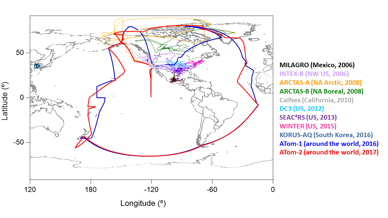
Airborne Observations and Modeling Comparison of Global Inorganic Aerosol Acidity
National Aeronautics and Space Administration —
This dataset provides observations collected during eleven airborne campaigns from 2006–2017 and associated input and output from nine widely used chemical transport... -
Federal
BigFoot Leaf Area Index Surfaces for North and South American Sites, 2000-2003
National Aeronautics and Space Administration —
The BigFoot project gathered leaf area index (LAI) data for nine EOS Land Validation Sites located from Alaska to Brazil from 2000 to 2003. Each site is... -
Federal
BOREAS RSS-01 PARABOLA SSA Surface Reflectance and Transmittance Data
National Aeronautics and Space Administration —
The BOREAS RSS-01 team collected surface reflectance and transmittance data from three forested sites in the SSA. This data set contains averaged reflectance factors... -
Federal
BOREAS TE-22 Tree Ring Data
National Aeronautics and Space Administration —
The BOREAS TE-22 team collected complete tree cores at several sites in the SSA and NSA in order to perform historical growth studies and relate the information to... -
Federal
NACP Peatland Landcover Type and Wildfire Burn Severity Maps, Alberta, Canada
National Aeronautics and Space Administration —
This data set provides landcover maps of (1) peatland type (bog, fen, marsh, swamp) with levels of biomass (open, forested) and (2) Burn Severity Index (BSI) (Dyrness...

Official websites use .gov
A
.gov website belongs to an official government
organization in the United States.
Secure .gov websites use HTTPS
A
lock (
) or https:// means you’ve safely connected to
the .gov website. Share sensitive information only on official,
secure websites.