

14 datasets found for "Boundaries"
-
Federal
Global Maps of Atmospheric Nitrogen Deposition, 1860, 1993, and 2050
National Aeronautics and Space Administration —
This data set provides global gridded estimates of atmospheric deposition of total inorganic nitrogen (N), NHx (NH3 and NH4+), and NOy (all oxidized forms of nitrogen... -
Federal
Annual Land Use and Urban Land Cover: Ethiopia, Nigeria, and South Africa, 2016-2020
National Aeronautics and Space Administration —
This dataset provides a two-tier annual Land Use (LU) and Urban Land Cover (LC) product suite over three African countries, Ethiopia, Nigeria, and South Africa,... -
Federal
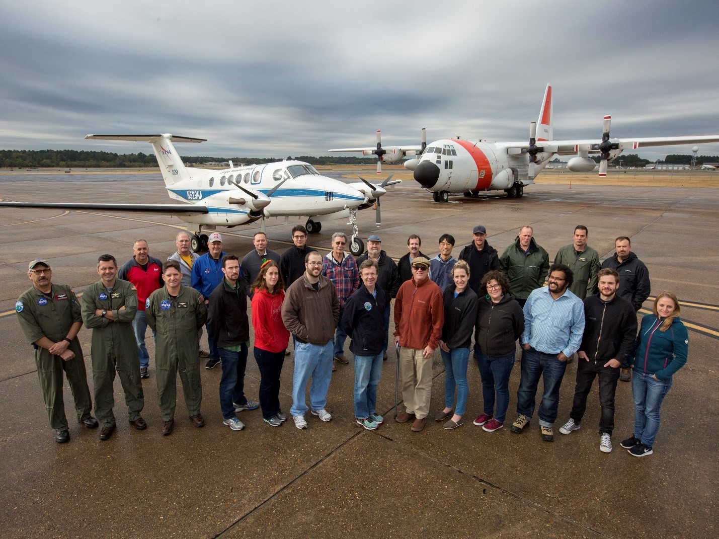
ACT-America: Profile-based Planetary Boundary Layer Heights, Eastern USA
National Aeronautics and Space Administration —
This dataset provides profile-based estimates of the height to the top of the planetary boundary layer (PBL), also known as the atmospheric boundary layer (ABL), in... -
Federal
Pre-LBA ABLE-2A and ABLE-2B Expedition Data
National Aeronautics and Space Administration —
The ABLE 2A and 2B (Atmospheric Boundary Layer Experiments) data consists of estimates of the rate of exchange of a wide variety of aerosols and gases between the... -
Federal
Global Soil Types, 0.5-Degree Grid (Modified Zobler)
National Aeronautics and Space Administration —
A global data set of soil types is available at 0.5-degree latitude by 0.5-degree longitude resolution. There are 106 soil units, based on Zobler?s (1986) assessment... -
Federal
Vulcan: High-Resolution Annual Fossil Fuel CO2 Emissions in USA, 2010-2015, Version 3
National Aeronautics and Space Administration —
The Vulcan version 3.0 annual dataset provides estimates of annual carbon dioxide (CO2) emissions from the combustion of fossil fuels (FF) and CO2 emissions from... -
Federal
SHIFT: HyTES L1 Brightness Temperature, March 23 2022
National Aeronautics and Space Administration —
This dataset holds Level 1 (L1) brightness temperature data collected by the Hyperspectral Thermal Emission Spectrometer (HyTES) instrument. This imagery was acquired... -
Federal
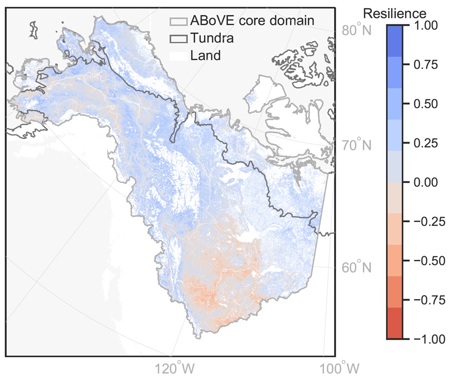
MODIS-derived Annual Vegetation Resilience, 2000-2019
National Aeronautics and Space Administration —
This dataset provides estimates of vegetation resilience in the Arctic Boreal Vulnerability Experiment (ABoVE) core domain at annual time steps for 2000-2019 and at... -
Federal
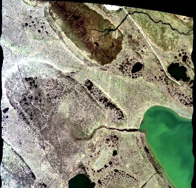
ABoVE: AVIRIS-NG Imaging Spectroscopy for Alaska, Canada, and Iceland, 2017-2022, V3
National Aeronautics and Space Administration —
This dataset supersedes the previously published ABoVE AVIRIS-NG Level 2 surface reflectance files for 2017-2019 surveys of Alaska and northwestern Canada. It also... -
Federal
CARVE: L4 Gridded Footprints from WRF-STILT model, 2012-2016
National Aeronautics and Space Administration —
This data set provides Weather Research and Forecasting (WRF) Stochastic Time-Inverted Lagrangian Transport (STILT) Footprint data products for particle receptors... -
Federal
ABoVE: AVIRIS-3 Imaging Spectroscopy for Alaska and Canada, 2023
National Aeronautics and Space Administration —
This dataset includes L1B radiance and L2A surface reflectance imagery acquired by the Airborne Visible / Infrared Imaging Spectrometer-3 (AVIRIS-3) instrument over... -
Federal
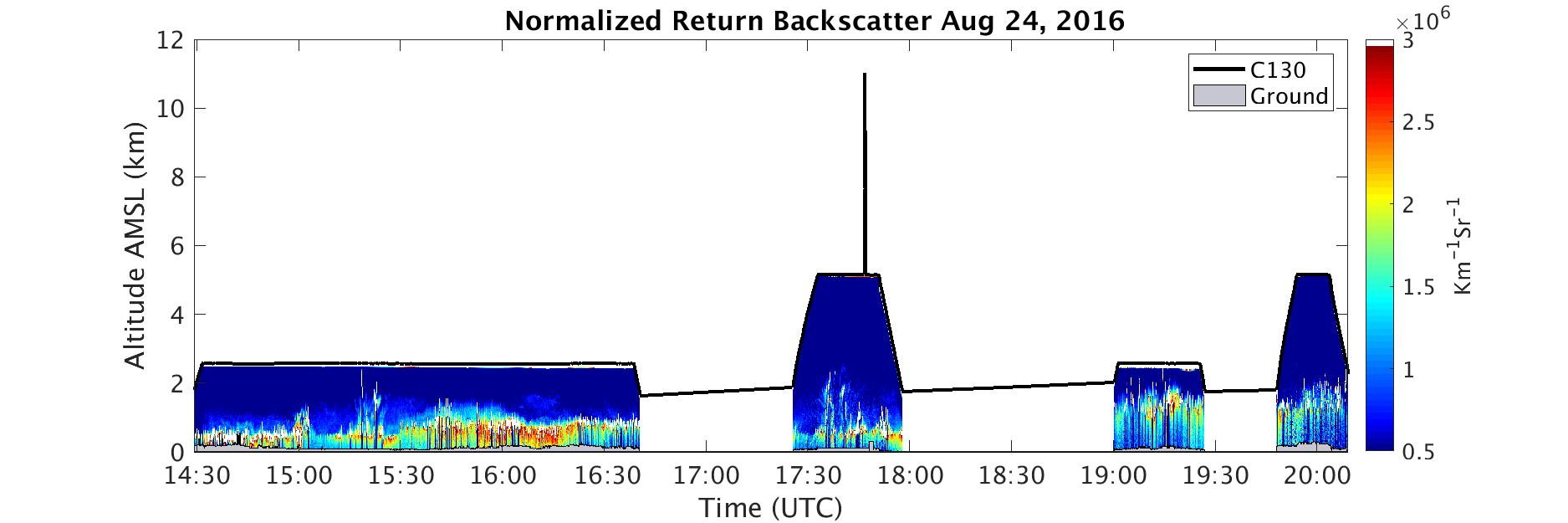
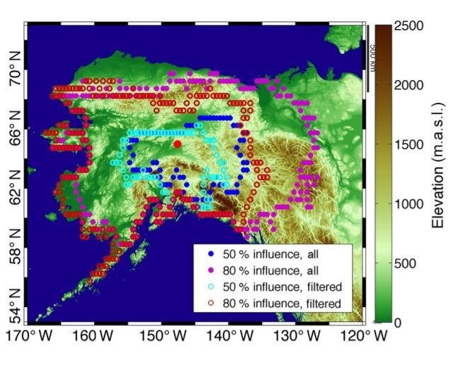
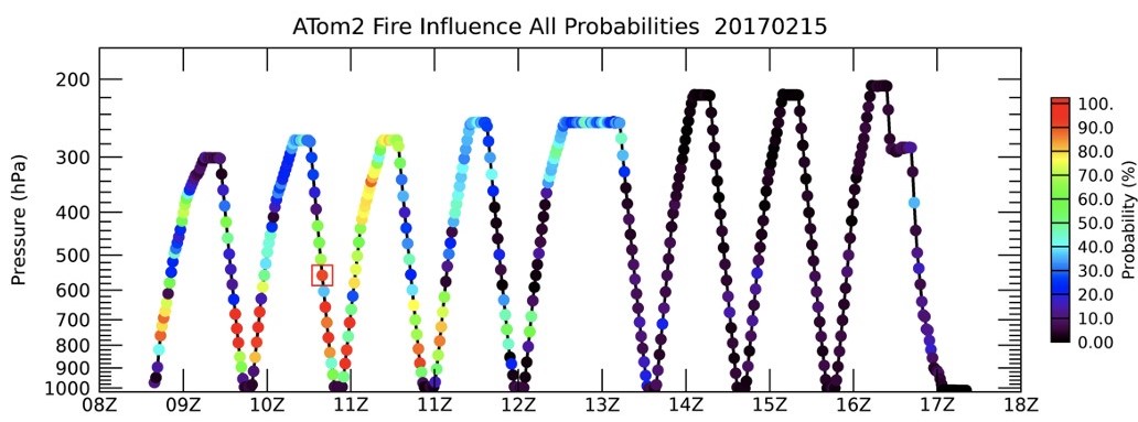
ATom: Back Trajectories and Influences of Air Parcels Along Flight Track, 2016-2018
National Aeronautics and Space Administration —
This dataset contains back trajectories, boundary layer influences, and convective influences of air parcels along NASA DC-8 aircraft's flight tracks during the four... -
Federal
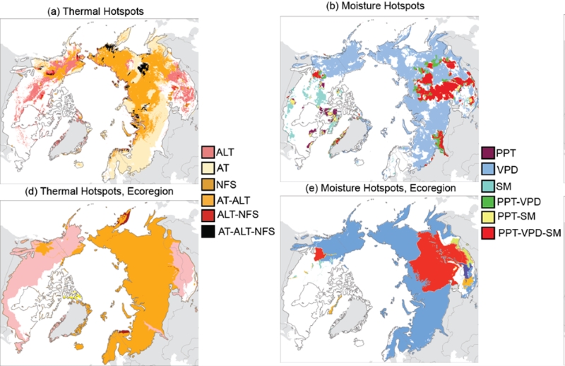
Trends of Thermal, Wetness, and Vegetative Change in the Circumpolar Arctic
National Aeronautics and Space Administration —
This dataset provides estimates of trends in temperature, moisture, and vegetation changes over the circumpolar Arctic. Time series trends were measured by the Theil-...
14 datasets found for "Boundaries"