

Pre-LBA ABLE-2A and ABLE-2B Expedition Data
Access & Use Information
Public: This dataset is intended for public access and use.
License: No license information was provided. If this work was prepared by an officer or employee of the United States government as part of that person's official duties it is considered a U.S. Government Work.
Downloads & Resources
-
Data Information (Unknown Format)BIN
-
Data Information (HTML)HTML
-
Data Information (ZIP)ZIP
ABLE_897.zip
-
Data Information (PNG)PNG
lba_logo_square.png
-
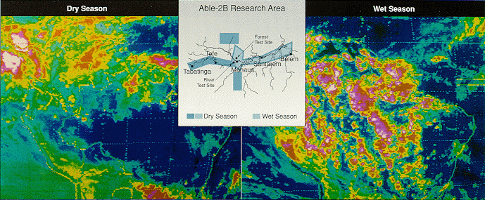
Data Information (Unknown Format)BIN
able3.gif
-
Data Information (PDF)PDF
Pre_LBA_ABLE.pdf
-
Data Information (PDF)PDF
gte_fmt_2000.pdf
-
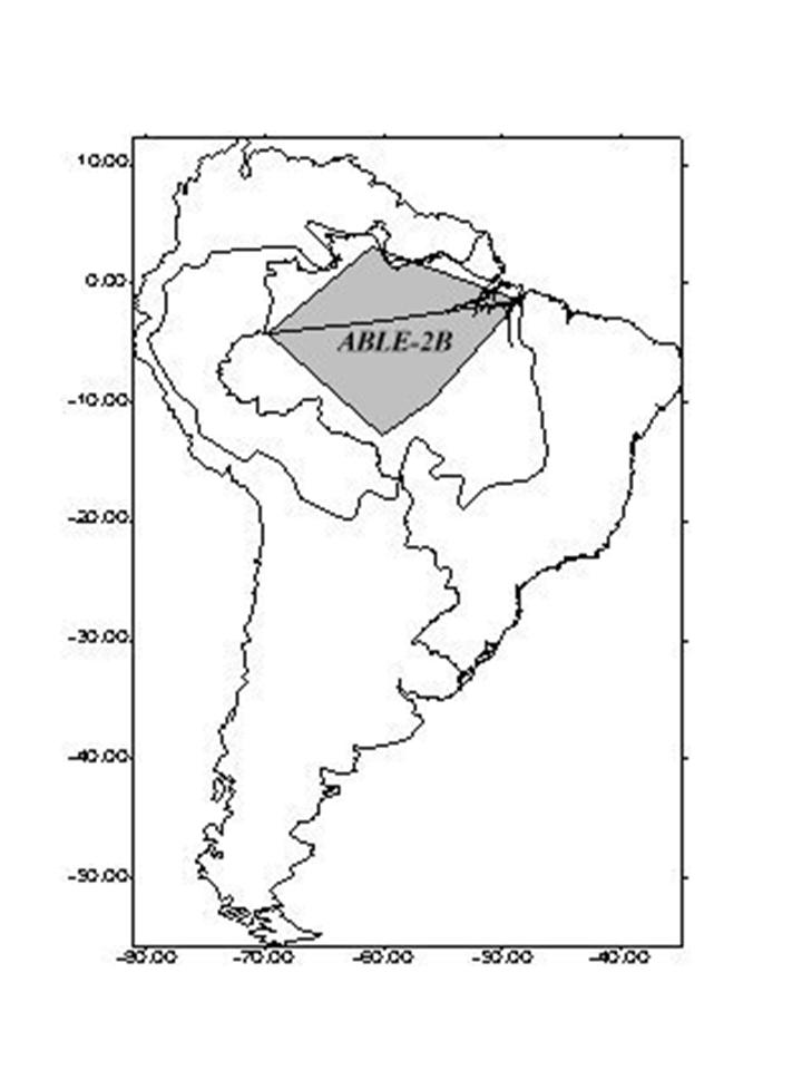
Data Information (JPEG)JPEG
able2B_large.jpg
-
Data Information (Unknown Format)BIN
able2.gif
-
Data Information (PDF)PDF
pwb-fmat_1994.pdf
-
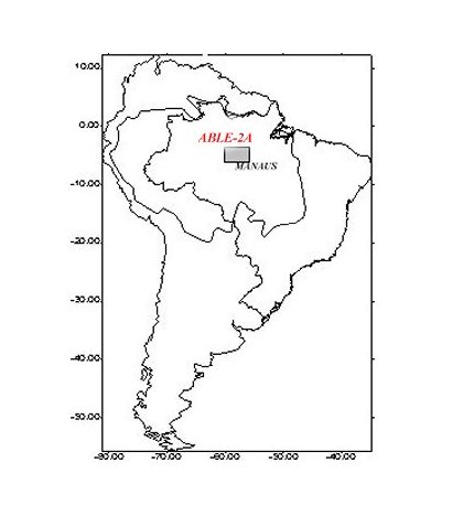
Data Information (JPEG)JPEG
able2A.jpg
-
Landing PageLanding Page
Dates
| Metadata Created Date | April 11, 2025 |
|---|---|
| Metadata Updated Date | September 18, 2025 |
Metadata Source
- Data.json Data.json Metadata
Harvested from NASA Data.json
Additional Metadata
| Resource Type | Dataset |
|---|---|
| Metadata Created Date | April 11, 2025 |
| Metadata Updated Date | September 18, 2025 |
| Publisher | ORNL_DAAC |
| Maintainer | |
| Identifier | 10.3334/ORNLDAAC/897 |
| Data Last Modified | 2025-09-11 |
| Category | Earth Science |
| Public Access Level | public |
| Bureau Code | 026:00 |
| Metadata Context | https://project-open-data.cio.gov/v1.1/schema/catalog.jsonld |
| Schema Version | https://project-open-data.cio.gov/v1.1/schema |
| Catalog Describedby | https://project-open-data.cio.gov/v1.1/schema/catalog.json |
| Harvest Object Id | 533d6d64-3f1d-45e6-b60a-d6556519d6f8 |
| Harvest Source Id | 58f92550-7a01-4f00-b1b2-8dc953bd598f |
| Harvest Source Title | NASA Data.json |
| Homepage URL | https://search.earthdata.nasa.gov/search?q=ABLE_897&ac=true |
| Old Spatial | {"WestBoundingCoordinate":-70.0,"NorthBoundingCoordinate":0.0,"EastBoundingCoordinate":-50.0,"SouthBoundingCoordinate":-10.0},"CARTESIAN" |
| Program Code | 026:000 |
| Source Datajson Identifier | True |
| Source Hash | 6ef50059059fc086e742b26df090559f3b10a548f56ae1f9c50953d20dafb305 |
| Source Schema Version | 1.1 |
| Spatial | |
| Temporal | 1985-07-11/1985-07-11 |
Didn't find what you're looking for? Suggest a dataset here.