
-
Federal
LIS/OTD 2.5 Degree Low Resolution Monthly Climatology Time Series (LRMTS) V2.3.2015
National Aeronautics and Space Administration —
The LIS/OTD 2.5 Degree Low Resolution Monthly Climatology Time Series (LRMTS) contains a variety of gridded climatologies of total lightning flash rates obtained from... -
Federal
World Wide Lightning Location Network (WWLLN) Monthly Thunder Hour Data
National Aeronautics and Space Administration —
The World Wide Lightning Location Network (WWLLN) has monitored global lightning since late 2004. Since 2013, the number of global WWLLN sensors has remained largely... -
Federal
GLM Events and Flashes Data
National Aeronautics and Space Administration —
The GLM Events and Flashes Data consist of the size and number of lightning flashes and events. The data were collected from the Geostationary Lightning Mapper (GLM)... -
Federal
ADVANCED MICROWAVE SOUNDING UNIT-A (AMSU-A) SWATH FROM NOAA-16 V1
National Aeronautics and Space Administration —
AMSU-A, the Advanced Microwave Sounding Unit, is a 15-channel passive microwave radiometer used to profile atmospheric temperature and moisture from the earth's... -
Federal
GOES-R PLT Airborne Visible/Infrared Imaging Spectrometer (AVIRIS) V1
National Aeronautics and Space Administration —
The GOES-R PLT Airborne Visible/Infrared Imaging Spectrometer (AVIRIS) dataset consists of radiance, reflectance, water phase, and navigation data delivered by the... -
Federal
GPM GROUND VALIDATION NASA S-BAND DUAL POLARIMETRIC (NPOL) DOPPLER RADAR IFLOODS
National Aeronautics and Space Administration —
The GPM Ground Validation NASA S-Band Dual Polarimetric (NPOL) Doppler Radar IFloodS dataset was collected from April 30 to June 16, 2013 near Traer, Iowa as part of... -
Federal
GOES-R PLT Southern Ontario Lightning Mapping Array (LMA) V1
National Aeronautics and Space Administration —
The GOES-R PLT Southern Ontario Lightning Mapping Array (LMA) dataset consists of total lightning data measured from the Southern Ontario LMA (SOLMA) network during... -
Federal
Flight Reports EPOCH
National Aeronautics and Space Administration —
The Flight Reports EPOCH dataset consists of flight number, purpose of flight, and flight hours logged during the East Pacific Origins and Characteristics of... -
Federal
CAMEX-3 DC-8 Airborne Multichannel Microwave Radiometer (AMMR) V1
National Aeronautics and Space Administration —
The CAMEX-3 DC-8 Airborne Multichannel Microwave Radiometer (AMMR) dataset is a browse-only dataset that consists of plotted digital count measurements collected by... -
Federal
GPM GROUND VALIDATION NASA S-BAND DUAL POLARIMETRIC (NPOL) DOPPLER RADAR MC3E V1
National Aeronautics and Space Administration —
The GPM Ground Validation NASA S-band Dual Polarimetric (NPOL) Doppler Radar MC3E dataset was collected by the NASA NPOL radar, which was developed by a research team... -
Federal
GPM GROUND VALIDATION DUAL-FREQUENCY DUAL-POLARIZED DOPPLER RADAR (D3R) GCPEX V1
National Aeronautics and Space Administration —
The GPM Ground Validation Dual-frequency Dual-polarized Doppler Radar (D3R) GCPEx and IFloodS data sets contain radar reflectivity and doppler velocity measurements.... -
Federal
ADVANCED MICROWAVE SOUNDING UNIT-A (AMSU-A) SWATH FROM NOAA-15 V1
National Aeronautics and Space Administration —
AMSU-A, the Advanced Microwave Sounding Unit, is a 15-channel passive microwave radiometer used to profile atmospheric temperature and moisture from the earth's... -
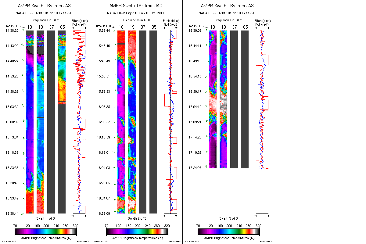
Federal
AMPR JACKSONVILLE BRIGHTNESS TEMPERATURE (TB) V2
National Aeronautics and Space Administration —
The Advanced Microwave Precipitation Radiometer (AMPR) was deployed in Jacksonville, FL for the initial AMPR instrument validation. AMPR data were collected at four... -
Federal
Hurricane and Severe Storm Sentinel (HS3) Cooperative Institute for Meteorological Satellite Studies (CIMSS) Cloud Top Height V1
National Aeronautics and Space Administration —
The Hurricane and Severe Storm Sentinel (HS3) Cooperative Institute for Meteorological Satellite Studies (CIMSS) Cloud Top Height dataset contains could top height... -
Federal
LIS/OTD 2.5 Degree Low Resolution Annual Climatology (LRAC) V2.3.2015
National Aeronautics and Space Administration —
The LIS/OTD 2.5 Degree Low Resolution Annual Climatology (LRAC) contains a variety of gridded climatologies of total lightning flash rates obtained from two lightning... -
Federal
GPM GROUND VALIDATION NASA MICRO RAIN RADAR (MRR) GCPEX
National Aeronautics and Space Administration —
The GPM Ground Validation NASA Micro Rain Radar (MRR) GCPEx dataset was collected by a Micro Rain Radar (MRR), which is a vertically pointing Doppler radar which... -
Federal
GPM Ground Validation Global Flood Monitoring System (GFMS) Flood Maps IFloodS V1
National Aeronautics and Space Administration —
The GPM Ground Validation Global Flood Monitoring System (GFMS) Flood Maps IFloodS dataset contains global flood estimates on a 0.25 degree spatial resolution every 3... -
Federal
RSS SSMIS OCEAN PRODUCT GRIDS WEEKLY AVERAGE FROM DMSP F16 NETCDF V7
National Aeronautics and Space Administration —
The RSS SSMIS Ocean Product Grids Weekly Average from DMSP F16 netCDF dataset is part of the collection of Special Sensor Microwave/Imager (SSM/I) and Special Sensor...

Official websites use .gov
A
.gov website belongs to an official government
organization in the United States.
Secure .gov websites use HTTPS
A
lock (
) or https:// means you’ve safely connected to
the .gov website. Share sensitive information only on official,
secure websites.