
-
Federal
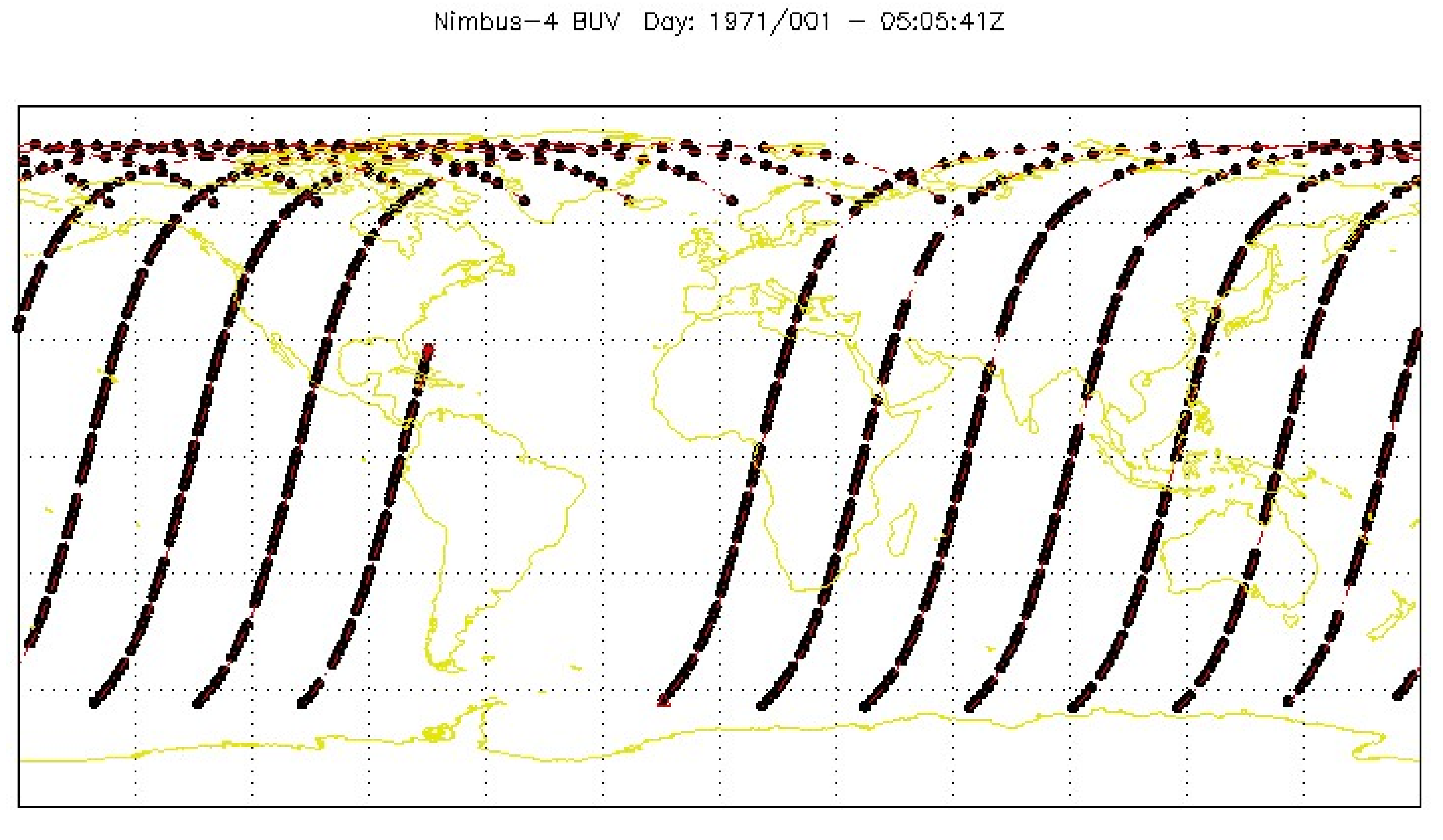
BUV/Nimbus-4 Level 1 Radiance Data V001 (BUVN4L1RUT) at GES DISC
National Aeronautics and Space Administration —
The Nimbus-4 BUV Level-1 Radiance data collection was derived from the Primary Data Base (PDB) product and contains the calibrated and geolocated backscattered... -
Federal
Reference Measurements of Error Vector Magnitude
National Institute of Standards and Technology —
The experiment here was to demonstrate that we can reliably measure the Reference Waveforms designed in the IEEE P1765 proposed standard and calculate EVM along with... -
State
Data Brief: Avoidable Emergency Department Visits Vary Widely Across California
State of California —
The data includes a broader range of geographic units of analysis than have previously been made available in HPD public reports, in addition to other measures. -... -
University
Cadastral PLSS Standardized Data - PLSSPoints (Clovis) - Version 1.1
Earth Data Analysis Center, University of New Mexico —
This feature class is part of the Cadastral National Spatial Data Infrastructure (NSDI) CADNSDI publication data set for rectangular and non-rectangular Public Land... -
Federal
Cross-species molecular docking method to support predictions of species susceptibility to chemical effects
U.S. Environmental Protection Agency —
The advancement of protein structural prediction tools, exemplified by AlphaFold and Iterative Threading ASSEmbly Refinement, has enabled the prediction of protein... -
Federal
Growth and Yield Data for the Bushland, Texas, Sorghum Datasets
Department of Agriculture —
This dataset consists of growth and yield data for each season when sorghum [Sorghum bicolor (L.)] was grown at the USDA-ARS Conservation and Production Laboratory... -
University
RACE ETHNICITY Percent Persons by Hispanic Ethnicity and Race SDs 2000
Earth Data Analysis Center, University of New Mexico —
The New Mexico 2000 Unified School Districts layer was derived from the TIGER Line files from the US Census Bureau. The districts are clipped to the state boundaries,... -
Federal
Comparison of Bottomless Lift Nets and Breder Traps for Sampling Salt-Marsh Nekton
U.S. Environmental Protection Agency —
Data set contains: the length of mummichogs (Fundulus heteroclitus) caught on lift nets and Breder traps from May to September 2002; the sizes of green crabs caught... -
Federal
CYGNSS Level 3 Science Data Record Version 3.2
National Aeronautics and Space Administration —
This dataset contains the version 3.2 CYGNSS level 3 science data record which provides the average wind speed and mean square slope (MSS) on a 0.2x0.2 degree... -
Federal
Mainstreaming Conservation Social Science: Answering the Call within the U.S. Fish and Wildlife Service
Department of the Interior —
Data from a survey of U.S. Fish and Wildlife Service employee social science experts or "champions" -
University
Current Block Groups for Catron County, New Mexico, 2006se TIGER
Earth Data Analysis Center, University of New Mexico —
The 2006 Second Edition TIGER/Line files are an extract of selected geographic and cartographic information from the Census TIGER database. The geographic coverage... -
University
Cadastral PLSS Standardized Data - PLSSPoints (Raton) - Version 1.1
Earth Data Analysis Center, University of New Mexico —
This feature class is part of the Cadastral National Spatial Data Infrastructure (NSDI) CADNSDI publication data set for rectangular and non-rectangular Public Land... -
Federal
QCL data turf microcosms 09Aug2017
U.S. Environmental Protection Agency —
Four turfgrass systems in or near the Pinehurst Resort and Country Club, Sandhills region, North Carolina, USA was sampled. Twenty intact soil cores (5 cm diameter x... -
Federal
Conservation Practice Effectiveness (CoPE) Database
Department of Agriculture —
The Conservation Practice Effectiveness Database compiles information on the effectiveness of a suite of conservation practices. This database presents a compilation... -
Federal
Ozone- Induced Acute Phase Response in Lung Versus Liver: The Role of Adrenal-Derived Stress Hormones
U.S. Environmental Protection Agency —
The data set pertains to the published research results in a given paper. Individual observations are shown for each pertaining figure or table in the paper. Each... -
State
Major Basin Lines
State of Connecticut —
See full Data Guide here.Major Drainage Basin Set: Connecticut Major Drainage Basins is 1:24,000-scale, polygon and line feature data that define Major drainage basin... -
City
SPR Marine Reserve
City of Seattle —
A hosted feature layer showing the locations of SPR Marine Reserves. These areas have been registered with the State.Source Layer: DPR.MarineReserveThe marine reserve... -
City
Louisville Metro KY - Lien Holder Final Orders
Louisville Metro Government —
Summary:The Lien Holder Notification System allows lien holders and others to register to receive weekly email notification about all final orders issued since the... -
University
Quay County 2010 Census Blocks
Earth Data Analysis Center, University of New Mexico —
The TIGER/Line Files are shapefiles and related database files (.dbf) that are an extract of selected geographic and cartographic information from the U.S. Census... -
Federal
Predicting Estrogenicity of a Group of Substituted Phenols_IATA
U.S. Environmental Protection Agency —
Data are summarized in a two-dimensional data matrix that was developed for each substance for hazard characterization (Tables S1–S3). In the horizontal direction of...

Official websites use .gov
A
.gov website belongs to an official government
organization in the United States.
Secure .gov websites use HTTPS
A
lock (
) or https:// means you’ve safely connected to
the .gov website. Share sensitive information only on official,
secure websites.