
-
Federal
H10424: NOS Hydrographic Survey , Southern New England Coast, Connecticut and New York, 1991-08-06
National Oceanic and Atmospheric Administration, Department of Commerce —
The National Oceanic and Atmospheric Administration (NOAA) has the statutory mandate to collect hydrographic data in support of nautical chart compilation for safe... -
Federal
ROSETTA-ORBITER 67P/CAL ALICE 4 PRL V2.0
National Aeronautics and Space Administration —
This data set contains CODMAC Level 4 data acquired by the Rosetta Orbiter ALICE UV Spectrometer during the comet 67P/Churyumov-Gerasimenko Prelanding mission phase,... -
University
2012 Whitewater Baldy Post Fire, Grouse Mountain SE SE, CIR
Earth Data Analysis Center, University of New Mexico —
This dataset contains imagery for the Gila National Forest, Catron and Grant County, New Mexico. The imagery was flown to provide coverage after the 2012 Whitewater-... -
Federal
H10509: NOS Hydrographic Survey , Southwest Texas Coast, Texas, 1994-08-04
National Oceanic and Atmospheric Administration, Department of Commerce —
The National Oceanic and Atmospheric Administration (NOAA) has the statutory mandate to collect hydrographic data in support of nautical chart compilation for safe... -
Federal
Sandhills [North Carolina] Vocational Delivery System Evaluation Project, 1983-1987
Department of Justice —
This data collection was designed to evaluate the effectiveness of a vocational training program on post-release vocational skills, employment, and recidivism of... -
University
Current State House Districts for Taos County, New Mexico, 2006se TIGER
Earth Data Analysis Center, University of New Mexico —
The 2006 Second Edition TIGER/Line files are an extract of selected geographic and cartographic information from the Census TIGER database. The geographic coverage... -
Federal
ROSETTA-ORBITER 67P OSIWAC 4 ESC1-MTP010 RDR V1.0
National Aeronautics and Space Administration —
This CODMAC level 4 data set contains radiometric calibrated and geometric distortion corrected (resampled) image data in W/m^2/sr/nm acquired by the OSIRIS Wide... -
University
Rio Arriba County 2010 Census Edges
Earth Data Analysis Center, University of New Mexico —
The TIGER/Line Files are shapefiles and related database files (.dbf) that are an extract of selected geographic and cartographic information from the U.S. Census... -
University
Current State House Districts for Los Alamos County, New Mexico, 2006se TIGER
Earth Data Analysis Center, University of New Mexico —
The 2006 Second Edition TIGER/Line files are an extract of selected geographic and cartographic information from the Census TIGER database. The geographic coverage... -
Federal
ROSETTA-ORBITER 67P RSI 1/2/3 COMET ESCORT 3 1036 V1.0
National Aeronautics and Space Administration —
This is a Rosetta Radio Science data set, collected during the COMET ESCORT 3 phase 2015-07-01 to 2015-10-21. It is a Global Gravity measurement at the comet 67P and... -
Federal
H10694: NOS Hydrographic Survey , Southwest Alaska Peninsula, Alaska, 1996-07-23
National Oceanic and Atmospheric Administration, Department of Commerce —
The National Oceanic and Atmospheric Administration (NOAA) has the statutory mandate to collect hydrographic data in support of nautical chart compilation for safe... -
Federal
ROSETTA-ORBITER 67P RSI 1/2/3 PRELANDING 0181 V1.0
National Aeronautics and Space Administration —
This is a Rosetta Radio Science data set, collected during the PRELANDING phase 2014-01-21 to 2014-11-18. It is a Global Gravity measurement at the comet 67P and... -
University
Current Designated Places for Luna County, New Mexico, 2006se TIGER
Earth Data Analysis Center, University of New Mexico —
The 2006 Second Edition TIGER/Line files are an extract of selected geographic and cartographic information from the Census TIGER database. The geographic coverage... -
Federal
WATER TEMPERATURE and other data from AIRCRAFT from 1973-04-27 to 1973-05-12 (NCEI Accession 7300692)
National Oceanic and Atmospheric Administration, Department of Commerce —
-
Federal
Terra MODIS Global Mapped Fluorescence Line Height (FLH) - Near Real Time (NRT) Data, version R2022.0 NGDA
National Aeronautics and Space Administration —
The Ocean Biology DAAC produces near real-time (quicklook) products using the best-available combination of ancillary data from meteorological and ozone data. As... -
Federal
Coastal Cover Change Analysis Program (C-CAP) Great Lakes 2001-era land cover change analysis (NCEI Accession 0038694)
National Oceanic and Atmospheric Administration, Department of Commerce —
This data is the 2001 era or late-date classification of the Great Lakes. This data set consists of about 74 partial Landsat 7 Thematic Mapper scenes which were... -
Federal
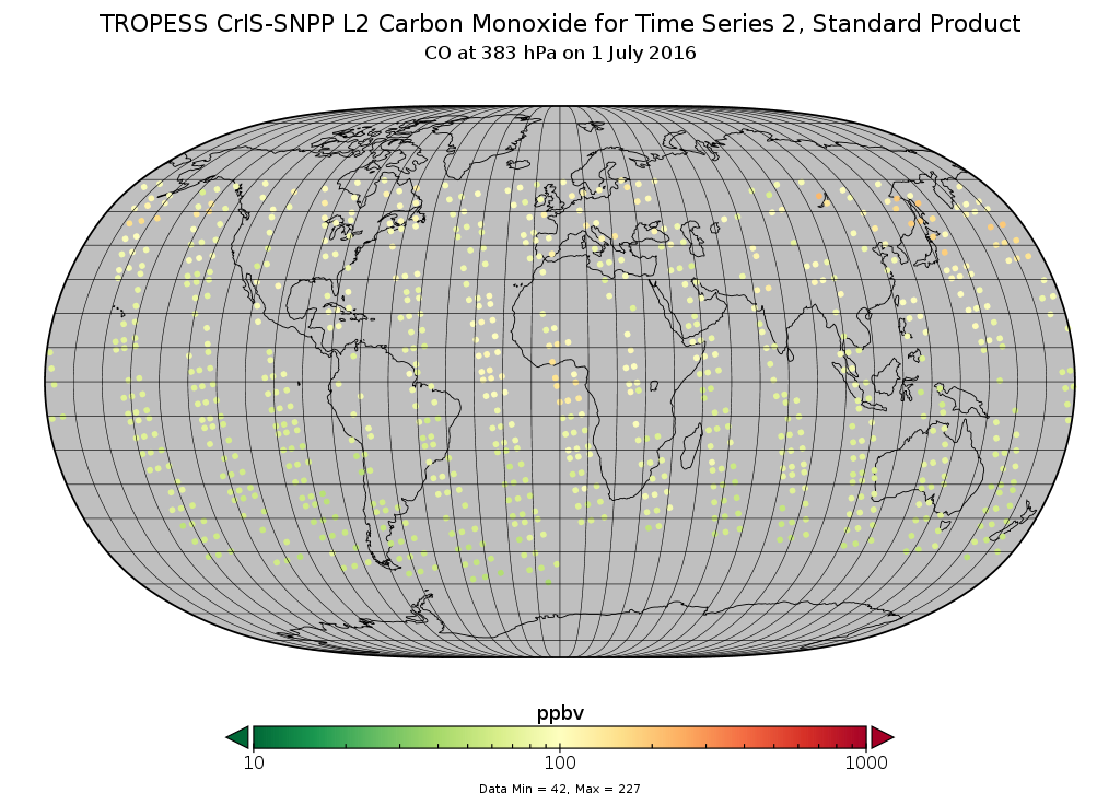
TROPESS CrIS-SNPP L2 Carbon Monoxide for Buchholz2021 TS2, Standard Product V1 (TRPSDL2COCRSTS2) at GES DISC
National Aeronautics and Space Administration —
The TROPESS CrIS-SNPP L2 Carbon Monoxide for Buchholz2021 TS2, Standard Product in support of the IPCC contains contains the vertical distribution of the retrieved... -
Federal
H12942: NOS Hydrographic Survey , 2016-09-08
National Oceanic and Atmospheric Administration, Department of Commerce —
The National Oceanic and Atmospheric Administration (NOAA) has the statutory mandate to collect hydrographic data in support of nautical chart compilation for safe... -
Federal
GO V PWS RESAMP SUMMARY VENUS SPECTRUM ANALYZER 60S V1.0
National Aeronautics and Space Administration —
Unknown -
Federal
H12350: NOS Hydrographic Survey , Approaches to Kotzebue Sound, Alaska, 2011-08-31
National Oceanic and Atmospheric Administration, Department of Commerce —
The National Oceanic and Atmospheric Administration (NOAA) has the statutory mandate to collect hydrographic data in support of nautical chart compilation for safe...

Official websites use .gov
A
.gov website belongs to an official government
organization in the United States.
Secure .gov websites use HTTPS
A
lock (
) or https:// means you’ve safely connected to
the .gov website. Share sensitive information only on official,
secure websites.
.jpg)
.jpg)