

125,972 datasets found for "PG双喜临门✅澳门葡京赌场官方网站-网址【079.one】㊙️最火爆PG电子超高爆奖率,注册即送38元.HSIwCqiAxunHCPI"
-
Federal
TES/Aura L2 Ammonia Nadir V008
National Aeronautics and Space Administration —
TL2NH3N_8 is the Tropospheric Emission Spectrometer (TES)/Aura Level 2 Ammonia Nadir Version 8 data product. TES was an instrument aboard NASA's Aura satellite and... -
Federal
SWOT 2019-2020 Prelaunch Oceanography Field Campaign SIO Mooring WireWalker (WW)
National Aeronautics and Space Administration —
This dataset provides the conductivity, temperature and depth (CTD) measurements from the CTD sensors on a WireWalker profiler on a full-depth mooring deployed by the... -
Federal
Sounder SIPS: JPSS-1 CrIS Level 3 Specific Quality Control Gridded Daily CLIMCAPS V2 (SNDRJ1IML3SDCCP) at GES DISC
National Aeronautics and Space Administration —
WARNING: To users of the derived product “co_mmr_midtrop” (carbon monoxide mass mixing ratio to dry air [kg/kg] at ~500 hPa). This variable has a significant bias due... -
Federal
Site Averaged Neutron Soil Moisture: 1987 (Betts)
National Aeronautics and Space Administration —
The Site Averaged Neutron Soil Moisture Data: 1987 (Betts) Data Set contains the site averaged product data of the neutron probe soil moisture collected during the... -
Federal
SMEX03 QuikSCAT/SeaWinds Backscatter Data, Alabama, Version 1
National Aeronautics and Space Administration —
This data set includes data collected over the Soil Moisture Experiment 2003 (SMEX03) areas of Alabama, Georgia, and Oklahoma, USA, and Brazil. The SeaWinds... -
Federal
Sentinel-5P TROPOMI Ozone Profile 1-Orbit L2 30km x 30km V2 (S5P_L2__O3__PR_HiR) at GES DISC
National Aeronautics and Space Administration —
Starting from August 6th in 2019, Sentinel-5P TROPOMI along-track high spatial resolution (~5.5km at nadir) has been implemented. S5P_L2__O3__PR_HiR data collection... -
Federal
SAFARI 2000 Potential Vegetation, 5-min (Ramankutty and Foley)
National Aeronautics and Space Administration —
The data set consists of a southern Africa subset of the 5-min resolution Global Potential Vegetation data set developed by Navin Ramankutty and Jon Foley at the... -
Federal
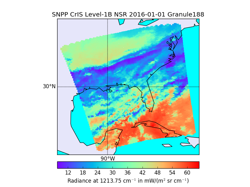
S-NPP CrIS IMG_COL: Array indices for collocated VIIRS observations V2 (SNDRSNCrISL1BIMGC) at GES DISC
National Aeronautics and Space Administration —
The Cross-track Infrared Sounder (CrIS) Level 1B Normal Spectral Resolution (NSR) data files contain radiance measurements along with ancillary spacecraft,... -
Federal
S-MODE Pre-Pilot Ocean Wave Slope from Visible-Band Polarimetry at the Air-Sea Interaction Tower Version 1
National Aeronautics and Space Administration —
These wave slope data from polarimetry described below are considered preliminary and should not be used for any purpose without consulting Chris Zappa... -
Federal
Polar Radiant Energy in the Far InfraRed Experiment (PREFIRE) Satellite 2 Raw Payload R01
National Aeronautics and Space Administration —
Polar Radiant Energy in the Far InfraRed Experiment (PREFIRE) Satellite 2 Raw Payload (PREFIRE_SAT2_0-PAYLOAD) contains the uncurated raw measurements from one of two... -
Federal
NPP Multi-Biome: Global Osnabruck Data, 1937-1981, R1
National Aeronautics and Space Administration —
This data set contains three files. The first file provides net primary productivity (NPP) estimates, vegetation characteristics, and summary climate data for 720... -
Federal
Nimbus-7 SMMR Antenna Temperatures, Version 1
National Aeronautics and Space Administration —
The SMMR Antenna Temperatures (Nimbus-7) data set consists of antenna temperatures from passive microwave radiometers aboard NOAA's Nimbus-7 satellite. The instrument... -
State
Inyo California Towhee Predicted Habitat - CWHR B484A [ds3237]
State of California —
CWHR Predicted Habitat Models represent areas of predicted suitable habitat for each species within its range. These models are built from the following principal... -
State
Riparian Brush Rabbit Predicted Habitat - CWHR M045A [ds3238]
State of California —
CWHR Predicted Habitat Models represent areas of predicted suitable habitat for each species within its range. These models are built from the following principal... -
State
Sandhill Crane Predicted Habitat - CWHR B150 [ds2113]
State of California —
CWHR Predicted Habitat Models represent areas of predicted suitable habitat for each species within its range. These models are built from the following principal... -
State
Elf Owl Predicted Habitat - CWHR B268 [ds2183]
State of California —
CWHR Predicted Habitat Models represent areas of predicted suitable habitat for each species within its range. These models are built from the following principal... -
State
Santa Cruz Long-Toed Salamander Predicted Habitat - CWHR A003A [ds3233]
State of California —
CWHR Predicted Habitat Models represent areas of predicted suitable habitat for each species within its range. These models are built from the following principal... -
State
Greater Sandhill Crane Predicted Habitat - CWHR B150A [ds3234]
State of California —
CWHR Predicted Habitat Models represent areas of predicted suitable habitat for each species within its range. These models are built from the following principal... -
State
Lesser Sandhill Crane Predicted Habitat - CWHR B150B [ds3235]
State of California —
CWHR Predicted Habitat Models represent areas of predicted suitable habitat for each species within its range. These models are built from the following principal... -
State
Draft Critical Habitat for 2026-2027 IRP
State of California —
This layer consists of the most recent footprints of the Proposed and Final Critical Habitat for Threatened and Endangered Species from the United States Fish and...
125,972 datasets found for "PG双喜临门✅澳门葡京赌场官方网站-网址【079.one】㊙️最火爆PG电子超高爆奖率,注册即送38元.HSIwCqiAxunHCPI"