
-
Federal
Daymet: Daily Surface Weather Data on a 1-km Grid for North America, Version 3 recent views
Department of the Interior —
This data set provides Daymet Version 3 model output data as gridded estimates of daily weather parameters for North America and Hawaii: including Canada, Mexico, the... -
Federal
SEA LEVEL (TOPEX/POSEIDON) recent views
National Aeronautics and Space Administration —
Sea level rise is caused by the thermal expansion of sea water due to climate warming and widespread melting of land ice. The TOPEX/POSEIDON mission a joint satellite... -
County
Loudoun Online Land Applications (LOLA) Map recent views
Loudoun County, Virginia —
LOLA - the Loudoun Online Land Applications tool. Search applications by year, application type, status, and address. -
County
Loudoun County Owned Electric Vehicle (EV) Charging Stations recent views
Loudoun County, Virginia —
This application displays the Electric Vehicle (EV) Charging Stations that are operated and maintained by Loudoun County and available for public use.The number of... -
Federal
NOAA Climate Data Record (CDR) of AVHRR Normalized Difference Vegetation Index (NDVI), Version 5 recent views
National Oceanic and Atmospheric Administration, Department of Commerce —
This dataset contains gridded daily Normalized Difference Vegetation Index (NDVI) derived from the NOAA Climate Data Record (CDR) of Advanced Very High Resolution... -
State
MD iMAP: Maryland Education Facilities - K thru 12 Education (Public Schools) recent views
State of Maryland —
This is a MD iMAP hosted service layer. Find more information at http://imap.maryland.gov. Maryland's K - 12 public school system ranks first overall based on the... -
State
MD iMAP: Maryland Priority Funding Areas recent views
State of Maryland —
This is a Maryland Department of Planning hosted service.Priority Funding Areas are existing communities and places where local governments want State investment to... -
City
Baltimore City Schools recent views
City of Baltimore —
This dataset represents the Baltimore City Public School building locations. -
Federal
TIGER/Line Shapefile, 2019, nation, U.S., Current Combined Statistical Area (CSA) National recent views
U.S. Census Bureau, Department of Commerce —
The TIGER/Line shapefiles and related database files (.dbf) are an extract of selected geographic and cartographic information from the U.S. Census Bureau's Master... -
Federal
FLDAS Noah Land Surface Model L4 Global Monthly 0.1 x 0.1 degree (MERRA-2 and CHIRPS) V001 (FLDAS_NOAH01_C_GL_M) at GES DISC recent views
National Aeronautics and Space Administration —
This dataset contains a series of land surface parameters simulated from the Noah 3.6.1 model in the Famine Early Warning Systems Network (FEWS NET) Land Data... -
Federal
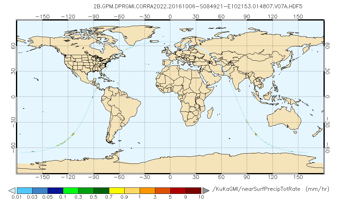
GPM DPR and GMI Combined Precipitation L2B 1.5 hours 5 km V07 (GPM_2BCMB) at GES DISC recent views
National Aeronautics and Space Administration —
Version 07 is the current version of the data set. Older versions will no longer be available and have been superseded by Version 07. This is a precipitation product... -
Federal
NOAA Optimum Interpolation 1/4 Degree Daily Sea Surface Temperature (OISST) Analysis, Version 2 recent views
National Oceanic and Atmospheric Administration, Department of Commerce —
This high-resolution sea surface temperature (SST) analysis product was developed using an optimum interpolation (OI) technique. The SST analysis has a spatial grid... -
Federal
Hospital Price Transparency Enforcement Activities and Outcomes recent views
U.S. Department of Health & Human Services —
The Hospital Price Transparency Enforcement Activities and Outcomes dataset contains information related to enforcement actions taken by CMS following a compliance... -
Federal
National Pregnancy and Health Survey: Drug Use Among Women Delivering Live Births (NPHS-1992) recent views
U.S. Department of Health & Human Services —
The primary objective of the National Pregnancy and Health Survey (NPHS) was to produce national annual estimates of the percentages and numbers of mothers of live... -
Federal
Public Housing Authorities NGDA recent views
Department of Housing and Urban Development —
This dataset denotes Public Housing Authority (PHA) office locations, contact information, and program availability. Public Housing was established to provide decent... -
Federal
Rockfish Recruitment and Ecosystem Assessment Survey recent views
National Oceanic and Atmospheric Administration, Department of Commerce —
In 1983, the Groundfish Analysis Team began a series of annual surveys designed to assess the recruitment strength of juvenile rockfish and various economically and... -
County
Allegheny County Fast Food Establishments recent views
Allegheny County / City of Pittsburgh / Western PA Regional Data Center —
The Allegheny County Health Department has generated this list of fast food restaurants by exporting all chain restaurants without an alcohol permit from the... -
Federal
BLM CA Lots Public Land Survey System recent views
Department of the Interior —
These are the cadastral reference features that provide the basis and framework for parcel mapping and for other mapping. This feature data set contains PLSS and...

Official websites use .gov
A
.gov website belongs to an official government
organization in the United States.
Secure .gov websites use HTTPS
A
lock (
) or https:// means you’ve safely connected to
the .gov website. Share sensitive information only on official,
secure websites.