

70 datasets found for "Geological Effects"
-
Federal
2020 NOAA NGS Topobathy Lidar DEM: Guguan, CNMI
National Oceanic and Atmospheric Administration, Department of Commerce —
Woolpert, Inc. was contracted to acquire and process topographic-bathymetric lidar for the islands of Anatahan, Alamagan, Guguan, and Sarigan in response to Hurricane... -
Federal
University of Illinois Campus Deep Direct-Use Feasibility Study - Designs for Deep Injection and Monitoring Wells
Department of Energy —
The following information is provided about the design of deeps wells constructed in the Illinois Basin to store, sequester, or dispose of CO2, natural gas, and... -
Federal
SWOT Level 2 Radiometer Brightness Temperatures and Troposphere Interim Data Product, Version 2.0
National Aeronautics and Space Administration —
The SWOT Level 2 Radiometer Brightness Temperatures and Troposphere Interim Geophysical Data Record (IGDR) Version 1.0 dataset produced by the Surface Water and Ocean... -
State
Quaternary Geology Point Features
State of Connecticut —
See full Data Guide here. Quaternary Geology Feature Set is 1:24,000-scale data that illustrates the geologic features formed in Connecticut during the Quaternary... -
Federal
2020 NOAA NGS Topobathy Lidar: Guam
National Oceanic and Atmospheric Administration, Department of Commerce —
Woolpert, Inc. was contracted to acquire and process topographic-bathymetric lidar for the islands of Anatahan, Alamagan, Guguan, and Sarigan in response to Hurricane... -
Federal
University of Illinois Campus Deep Direct-Use Feasibility Study - Geological Characterization of the Mt. Simon Sandstone
Department of Energy —
These studies undertook detailed analyses of the Mt. Simon Sandstone in the Illinois Basin for geological storage and sequestration, and brine extraction. -
Federal
NASA Web-Enabled Landsat Data Alaska 30m Composites over Annual Periods V001
National Aeronautics and Space Administration —
WELDAKYR.015 was decommissioned on December 2, 2019. Users are encouraged to use the improved yearly Global Web-Enabled Landsat Data (GWELD)FederalUtah FORGE: Laboratory Experiments Examining the Effect of Thermal and Mechanical Processes on Hydraulic Transmissivity Evolution
Department of Energy —
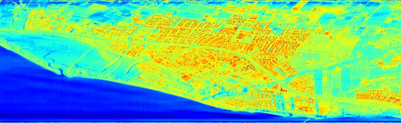
Using laboratory slide-hold-slide experiments, at temperatures from 22 to 200 degrees C, to examine effects of fracture reactivation and quasi-static loading on the...FederalSHIFT: HyTES L2 Geolocated Land Surface Temperature and Emissivity, March 23 2022
National Aeronautics and Space Administration —
This dataset holds Level 2 (L2) data for surface emissivity and land surface temperature (LST) collected by the Hyperspectral Thermal Emission Spectrometer (HyTES)...FederalSHIFT: HyTES L1 Brightness Temperature, March 23 2022
National Aeronautics and Space Administration —
This dataset holds Level 1 (L1) brightness temperature data collected by the Hyperspectral Thermal Emission Spectrometer (HyTES) instrument. This imagery was acquired...70 datasets found for "Geological Effects"