

706 datasets found for "Land Use and Land Cover LULC"
-
Federal
OMG Glacial Elevations from GLISTIN-A Ver. 1
National Aeronautics and Space Administration —
This dataset contains 50m horizontal resolution gridded digital elevation models (DEMs) of Greenland Ice Sheet outlet glaciers collected during the NASA Oceans... -
Federal
MODIS/Terra Vegetation Indices 16-Day L3 Global 1km SIN Grid V061
National Aeronautics and Space Administration —
The MOD13A2 Version 6.1 product provides Vegetation Index (VI) values at a per pixel basis at 1 kilometer (km) spatial resolution. There are two primary vegetation... -
Federal
MODIS/Terra+Aqua BRDF/Albedo Parameter1 NIR Daily L3 Global 30ArcSec CMG V006
National Aeronautics and Space Administration —
The MCD43D25 Version 6 data product was decommissioned on July 31, 2023. Users are encouraged to use the MCD43D25 Version 6.1 data product.The MCD43D25 Version 6... -
Federal
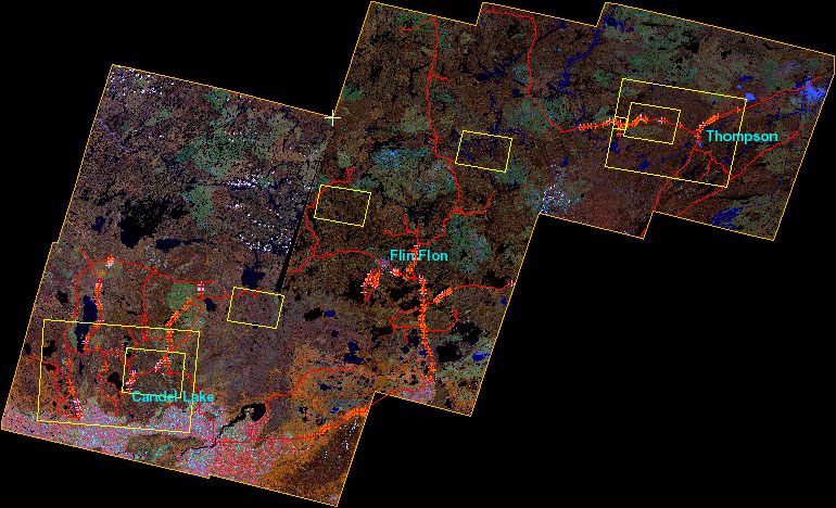
BOREAS Follow-On DSP-01 Landsat TM Land Cover Mosaic of the BOREAS Transect
National Aeronautics and Space Administration —
The objective of this land cover mosaic is to provide a data product that characterises the detailed land cover of a significant portion of the BOREAS Region. Seven... -
Federal
CAR ARCTAS Arctic Research of the Composition of the Troposphere from Aircraft and Satellites L1 V1 (CAR_ARCTAS_L1C) at GES DISC
National Aeronautics and Space Administration —
ARCTAS focuses on advancing understanding of the factors driving current changes in the Arctic region including transport of mid-latitude pollution, boreal forest... -
Federal
TES/Aura L2 Summary Profiles V008
National Aeronautics and Space Administration —
TL2SUM_8 is the Tropospheric Emission Spectrometer (TES)/Aura Level 2 Summary Profiles Version 8 data product. It contains atmospheric vertical profile estimates,...
706 datasets found for "Land Use and Land Cover LULC"