
-
Federal
SatCORPS CERES GEO Edition 4 GOES-13 Northern Hemisphere Version 1.0
National Aeronautics and Space Administration —
CER_GEO_Ed4_GOE13_NH_V01 is the Satellite Cloud and Radiation Property retrieval System (SatCORPS) Clouds and the Earth's Radiant Energy System (CERES) Geostationary... -
Federal
CERES Monthly Gridded Radiative Fluxes and Clouds Terra FM1 Edition2G
National Aeronautics and Space Administration —
CER_FSW_Terra-FM1-MODIS_Edition2G is the Clouds and the Earth's Radiant Energy System (CERES) Monthly Gridded Radiative Fluxes and Clouds Terra Flight Model (FM1)... -
Federal
CERES and GEO-Enhanced TOA, Within-Atmosphere and Surface Fluxes, Clouds and Aerosols Monthly-Averaged 1-Hourly Terra-NOAA20 Edition4A
National Aeronautics and Space Administration —
CER_SYN1deg-MHour_Terra-NOAA20_Edition4A is the Clouds and the Earth's Radiant Energy System (CERES) and geostationary (GEO)-Enhanced Top-of-Atmosphere (TOA), Within-... -
Federal
TROPICS01 Pathfinder L1B Orbital Geolocated Native-Resolution Brightness Temperatures V1.0
National Aeronautics and Space Administration —
The "Time-Resolved Observations of Precipitation structure and storm Intensity with a Constellation of Smallsats" (TROPICS) mission has a goal of providing nearly... -
Federal
SatCORPS CERES GEO Edition 4 GOES-13 Southern Hemisphere Version 1.0
National Aeronautics and Space Administration —
CER_GEO_Ed4_GOE13_SH_V01 is the Satellite Cloud and Radiation Property retrieval System (SatCORPS) Clouds and the Earth's Radiant Energy System (CERES) Geostationary... -
Federal
LBA-ECO ND-02 Soil Gas Flux, Rainfall Exclusion, km 67, Tapajos National Forest
National Aeronautics and Space Administration —
Moist tropical forests in Amazonia and elsewhere are subjected to increasingly severe drought episodes through the El Nino-Southern Oscillation (ENSO) and possibly... -
Federal
LBA-HMET PC-06 ECMWF Modeled Precipitation and Surface Flux, Rondonia, Brazil: 1999
National Aeronautics and Space Administration —
This data set provides the mean diurnal cycle of precipitation, near-surface thermodynamics, and surface fluxes generated from short-term forecasts from the European... -
Federal
NPP Multi-Biome: Summary Data from Intensive Studies at 125 Sites, 1936-2006
National Aeronautics and Space Administration —
This data set, NPP Multi-Biome: Summary Data from Intensive Studies at 125 Sites, 1936-2006, contains a single shapefile that provides site-level summary statistics... -
Federal
SatCORPS CERES GEO Edition 4 Meteosat-10 Southern Hemisphere Version 1.2
National Aeronautics and Space Administration —
CER_GEO_Ed4_MET10_SH_V01.2 is the Satellite Cloud and Radiation Property retrieval System (SatCORPS) Clouds and the Earth's Radiant Energy System (CERES)... -
Federal
SatCORPS CERES GEO Edition 4 GOES-13 Southern Hemisphere Version 1.2
National Aeronautics and Space Administration —
CER_GEO_Ed4_GOE13_SH_V01.2 is the Satellite Cloud and Radiation Property retrieval System (SatCORPS) Clouds and the Earth's Radiant Energy System (CERES)... -
Federal
SatCORPS CERES GEO Edition 4 Meteosat-8 Southern Hemisphere Version 1.2
National Aeronautics and Space Administration —
CER_GEO_Ed4_MET08_SH_V01.2 is the Satellite Cloud and Radiation Property retrieval System (SatCORPS) Clouds and the Earth's Radiant Energy System (CERES)... -
Federal
SatCORPS CERES GEO Edition 4 GOES-15 Southern Hemisphere Version 1.2
National Aeronautics and Space Administration —
CER_GEO_Ed4_GOE15_SH_V01.2 is the Satellite Cloud and Radiation Property retrieval System (SatCORPS) Clouds and the Earth's Radiant Energy System (CERES)... -
Federal
VISSR/SMS-1 Visible Imagery on 70mm Film V001 (VISSRSMS1IMVIS) at GES DISC
National Aeronautics and Space Administration —
VISSRSMS1IMVIS is the Visible Infrared Spin-Scan Radiometer (VISSR) Visible Imagery on 70mm Film data product from the first Synchronous Meteorological Satellite... -
Federal
NPP Tropical Forest: Cinnamon Bay, U.S. Virgin Islands, 1982-1993, R1
National Aeronautics and Space Administration —
This data set contains three ASCII files (.txt format). One data file contains above-ground biomass, litter, litterfall, herbivory, biomass change, and above-ground... -
Federal
Forest Inventories at Burned and Unburned Tropical Forest Sites, Acre, Brazil, 2014
National Aeronautics and Space Administration —
This dataset provides measurements for diameter at breast height (DBH) and species identification of trees for inventories taken at five tropical forest sites in Acre... -
Federal
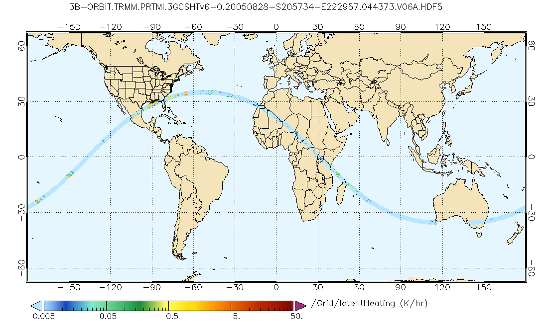
GPM PR and TMI on TRMM Combined Gridded Orbital Convective-Stratiform Latent Heating Profiles L3 1.5 hours 0.25x0.25 degree V07 (GPM_3GCSH_TRMM) at GES DISC
National Aeronautics and Space Administration —
This is the new (GPM-formated) TRMM product. It replaces the old TRMM legacy product TRMM_3G31.Version 07 is the current version of the data set. Older versions will... -
Federal
GPM PR and TMI on TRMM Combined Convective-Stratiform Latent Heating Profiles L3 1 month 0.25x0.25 degree V07 (GPM_3HCSH_TRMM) at GES DISC
National Aeronautics and Space Administration —
This is the new (GPM-formated) TRMM product. It replaces the old TRMM legacy TRMM_3H31Version 07 is the current version of the data set. Older versions will no longer... -
Federal
CERES ERBE-like Instantaneous TOA Estimates Aqua FM3 Edition4
National Aeronautics and Space Administration —
CER_ES8_Aqua-FM3_Edition4 is the Clouds and the Earth's Radiant Energy System (CERES) Earth Radiation Budget Experiment (ERBE)-like Instantaneous Top-of-the-... -
Federal
CERES Time-Interpolated TOA Fluxes, Clouds and Aerosols Daily Terra Edition4A
National Aeronautics and Space Administration —
CER_SSF1deg-Day_Terra-MODIS_Edition4A is the Clouds and the Earth's Radiant Energy System (CERES) Time-Interpolated Top of Atmosphere (TOA) Fluxes, Clouds and... -
Federal
CERES and GEO-Enhanced TOA, Within-Atmosphere and Surface Fluxes, Clouds and Aerosols Daily Terra-NPP Edition1A
National Aeronautics and Space Administration —
CER_SYN1deg-Day_Terra-NPP_Edition1A is the Clouds and the Earth's Radiant Energy System (CERES) and geostationary (GEO)-Enhanced Top-of-Atmosphere (TOA) and Surface...

Official websites use .gov
A
.gov website belongs to an official government
organization in the United States.
Secure .gov websites use HTTPS
A
lock (
) or https:// means you’ve safely connected to
the .gov website. Share sensitive information only on official,
secure websites.