
-
State
Agricultural Water Use Data 2006-2010
State of California —
Excel Application Tool for Agricultural Water Use Data 2006 - 2010 Department of water resources, Water Use Efficiency Branch, Water Use Unit program, has developed... -
Federal
Areas of Weakly Anomalous to Anomalous Surface Temperature in Archuleta County, Colorado, as Identified from ASTER Thermal Data
Department of Energy —
Note: This "Weakly Anomalous to Anomalous Surface Temperature" dataset differs from the "Anomalous Surface Temperature" dataset for this county (another remotely... -
Federal
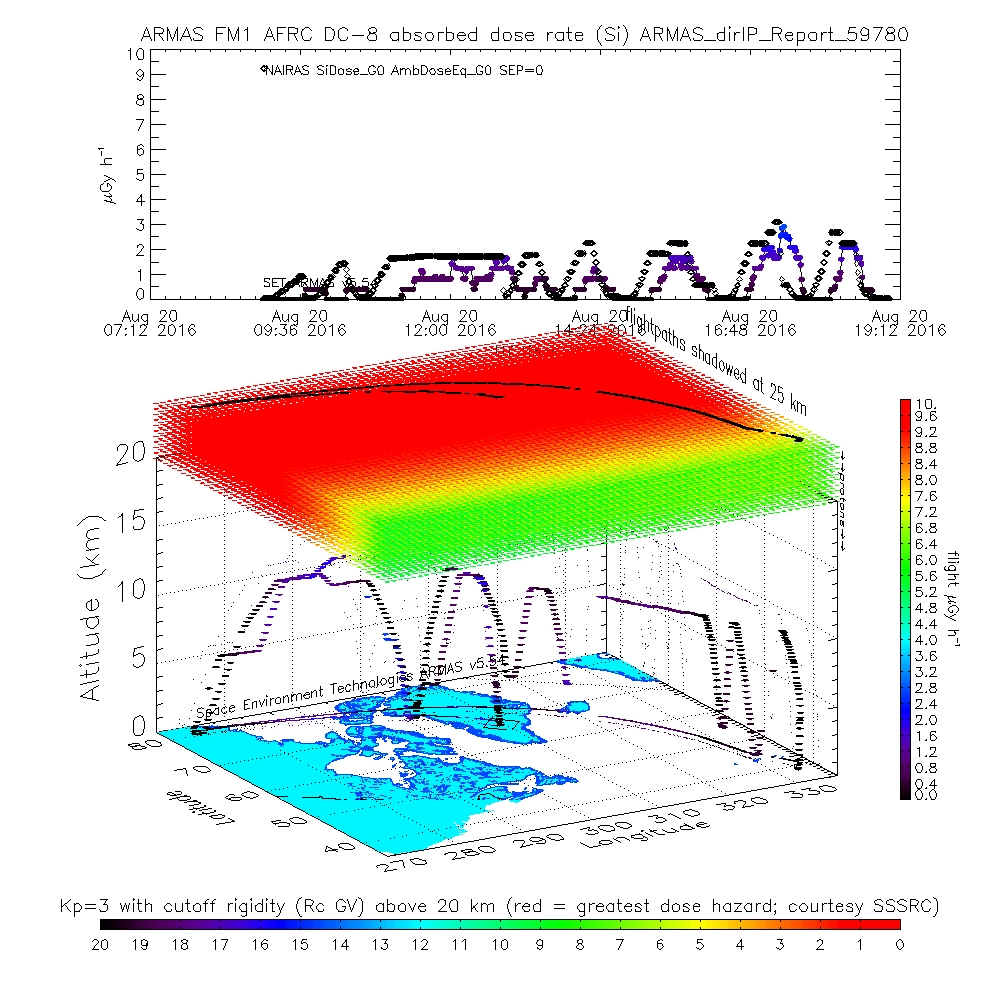
ATom: ARMAS Program Absorbed and Equivalent Radiation Dose Rates for ATom-1 Campaign
National Aeronautics and Space Administration —
This dataset contains Level 2 (L2) absorbed radiation dose rates in silicon from the Automated Radiation Measurements for Aerospace Safety (ARMAS) system along ATom... -
Federal
Publication Station History Report (PHR) for COOP Elements
National Oceanic and Atmospheric Administration, Department of Commerce —
This report pertains to the roughly 9,000 NWS Cooperative Network sites whose observations are published in NCDC's Climatological Data or Hourly Precipitation Data... -
Federal
NWS Daily Climatology Data: 1988 (SNF)
National Aeronautics and Space Administration —
Weather data were collected by the National Weather Service in International Falls, Minnesota. International Falls is about 80 miles from the SNF, but the weather... -
Federal
VEMAP 1: U.S. Site Files
National Aeronautics and Space Administration —
The Vegetation/Ecosystem Modeling and Analysis Project (VEMAP) is an ongoing multiinstitutional, international effort addressing the response of biogeography and... -
Federal
CERES Bidirectional Scans Terra FM1 Edition1-CV
National Aeronautics and Space Administration —
CER_BDS_Terra-FM1_Edition1-CVis the Clouds and the Earth's Radiant Energy System (CERES) Bidirectional Scans (BDS) Terra Flight Model 1 (FM1) Edition1-CV data... -
Federal
Aircraft Flux-Detrended: Univ. Col. (FIFE)
National Aeronautics and Space Administration —
The NCAR King Air participation in FIFE-1987 and FIFE-1989 was part of a coordinated atmospheric boundary layer component which included other aircraft, surface... -
Federal
Bowen Ratio Surface Flux: KSU (FIFE)
National Aeronautics and Space Administration —
The Bowen Ratio Surface Flux Observations (KSU) Data Set contains surface flux measurements made at selected sites within the FIFE area. The sites were equipped with... -
Federal
VEMAP 2: Annual Ecosystem Model Responses to U.S. Climate Change, 1994-2100
National Aeronautics and Space Administration —
The Vegetation-Ecosystem Modeling and Analysis Project (VEMAP) was a large, collaborative, multi-institutional, international effort whose goal was to evaluate the... -
Federal
Long-Term Agricultural Research (LTAR) network - Meteorological Collection
Department of Agriculture —
The LTAR network maintains stations for standard meteorological measurements including, generally, air temperature and humidity, shortwave (solar) irradiance,... -
Federal
CERES and GEO-Enhanced TOA, Within-Atmosphere and Surface Fluxes, Clouds and Aerosols 3-Hourly Terra-Aqua Edition4A NGDA
National Aeronautics and Space Administration —
CER_SYN1deg-3Hour_Terra-Aqua-MODIS_Edition4A is the Clouds and the Earth's Radiant Energy System (CERES) and geostationary (GEO)-Enhanced Top of Atmosphere (TOA),... -
Federal
BOREAS Follow-On HMet-04 1996-1998 NSA Meteorological Data
National Aeronautics and Space Administration —
As part of the BOREAS Follow-on, an extended period of data collection was supported in the NSA because of the continued efforts at the NSA-OBS site. This data set... -
Federal
Areas of Anomalous Surface Temperature in Routt County, Colorado, as Identified from ASTER Thermal Data
Department of Energy —
This layer contains areas of anomalous surface temperature in Routt County identified from ASTER thermal data and spatial based insolation model. The temperature is... -
Federal
Utility-Scale Solar, 2022 Edition: Analysis of Empirical Plant-level Data from U.S. Ground-mounted PV, PV+battery, and CSP Plants (exceeding 5 MWAC)
Department of Energy —
Berkeley Labs "Utility-Scale Solar", 2022 Edition presents analysis of empirical plant-level data from the U.S. fleet of ground-mounted photovoltaic (PV), PV+battery,... -
Federal
Areas of Weakly Anomalous to Anomalous Surface Temperature in Routt County, Colorado, as Identified from ASTER Thermal Data
Department of Energy —
Note: This "Weakly Anomalous to Anomalous Surface Temperature" dataset differs from the "Anomalous Surface Temperature" dataset for this county (another remotely... -
Federal
CERES Bidirectional Scans Aqua FM4 Edition4
National Aeronautics and Space Administration —
CER_BDS_Aqua-FM4_Edition4 is the Clouds and the Earth's Radiant Energy System (CERES) Bidirectional Scans (BDS) Aqua Flight Model 4 (FM4) Edition 4 data product,... -
Federal
SAFARI 2000 Surface Atmospheric Radiative Transfer (SMART), Dry Season 2000
National Aeronautics and Space Administration —
Surface-sensing Measurements for Radiative Transfer (SMART) and Chemical, Optical, and Microphysical Measurements of In-situ Troposphere (COMMIT) consist of a suite... -
Federal
CERES and GEO-Enhanced TOA, Within-Atmosphere, and Surface Fluxes Clouds and Aerosols Monthly Terra Edition4A
National Aeronautics and Space Administration —
CER_SYN1deg-Month_Terra-MODIS_Edition4A is the Clouds and the Earth's Radiant Energy System (CERES) and and geostationary (GEO)-Enhanced Top of Atmosphere (TOA),...

Official websites use .gov
A
.gov website belongs to an official government
organization in the United States.
Secure .gov websites use HTTPS
A
lock (
) or https:// means you’ve safely connected to
the .gov website. Share sensitive information only on official,
secure websites.