

448 datasets found for "imagery"
-
Federal
Oregon Coast NWRC: Surface Nesting Seabirds - Aerial Photographic Colony Surveys - 1994 GIS Raw Count Databases
Department of the Interior —
This reference archives metadata about the collection of geospatial data which may be stored in a variety of file formats (e.g. shapefile, geodatabase) for the Oregon... -
Federal
Oregon Coast NWRC: Surface Nesting Seabirds - Aerial Photographic Colony Surveys - 2009 GIS Raw Count Databases
Department of the Interior —
This reference archives metadata about the collection of geospatial data which may be stored in a variety of file formats (e.g. shapefile, geodatabase) for the Oregon... -
Federal
Oregon Coast NWRC: Surface Nesting Seabirds - Aerial Photographic Colony Surveys - 2014 GIS Raw Count Databases
Department of the Interior —
This reference archives metadata about the collection of geospatial data which may be stored in a variety of file formats (e.g. shapefile, geodatabase) for the Oregon... -
Federal
BLM OR Remote Sensing Satellite Footprint Polygon Hub
Department of the Interior —
SATELLITE_FOOTPRINT_POLY: Data consists of individual satellite generated polygons representing the footprints of individual images in a mosaic. -
Federal
BLM OR Aerial Photography Project Polygon Hub
Department of the Interior —
AP_PROJECT_POLY: Data consisting of polygons representing the spatial footprints of full aerial photography projects. -
Federal
BLM OR Aerial Photography Flightlines Line Hub
Department of the Interior —
AP_FLIGHT_LINE: Line data depicting aerial photography flight lines over BLM lands in Oregon and Washington. -
Federal
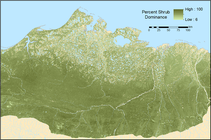
ABoVE: Gridded 30-m Aboveground Biomass, Shrub Dominance, North Slope, AK, 2007-2016
National Aeronautics and Space Administration —
This dataset includes 30-m gridded estimates of total plant aboveground biomass (AGB), the shrub AGB, and the shrub dominance (shrub/plant AGB) for non-water portions... -
Federal
ABoVE: Burn Severity of Soil Organic Matter, Northwest Territories, Canada, 2014-2015
National Aeronautics and Space Administration —
This dataset provides maps at 30-m resolution of landscape surface burn severity (surface litter and soil organic layers) from the 2014-2015 fires in the Northwest...
448 datasets found for "imagery"