
-
Federal
H11897: NOS Hydrographic Survey , Miami Beach, Florida, 2009-07-05 recent views
National Oceanic and Atmospheric Administration, Department of Commerce —
The National Oceanic and Atmospheric Administration (NOAA) has the statutory mandate to collect hydrographic data in support of nautical chart compilation for safe... -
Federal
STEER Coastal Use Mapping Project recent views
National Oceanic and Atmospheric Administration, Department of Commerce —
The Coastal Use Mapping Project is designed to collect critical information on human activities in and near the St. Thomas East End Reserves (STEER). The project... -
Federal
Benthic Habitats of Puerto Rico and the U.S. Virgin Islands; Photomosaic of Puerto Rico (Isla de Vieques), 1999 recent views
National Oceanic and Atmospheric Administration, Department of Commerce —
Habitat maps of Puerto Rico and the U.S. Virgin Islands were created by visual interpretation of aerial photographs using the Habitat Digitizer Extension. Aerial... -
Federal
Benthic Habitats of Puerto Rico and the U.S. Virgin Islands; Photomosaic of Puerto Rico (Cabo Rojo), 1999 recent views
National Oceanic and Atmospheric Administration, Department of Commerce —
Habitat maps of Puerto Rico and the U.S. Virgin Islands were created by visual interpretation of aerial photographs using the Habitat Digitizer Extension. Aerial... -
Federal
Benthic Habitat Maps of the U.S. Virgin Islands-St. Thomas and St. John Prepared by Visual Interpretation from Remote Sensing Imagery Collected by NOAA, 1999 recent views
National Oceanic and Atmospheric Administration, Department of Commerce —
This project is a cooperative effort between the National Ocean Service, National Centers for Coastal Ocean Science, Center for Coastal Monitoring and Assessment, the... -
Federal
Benthic Habitat and Zone Maps of Puerto Rico 1999 - Prepared by Visual Interpretation from Remote Sensing Imagery Collected by NOAA, 1999 recent views
National Oceanic and Atmospheric Administration, Department of Commerce —
There are 208 habitat and zone maps of Puerto Rico and is major islands. This project is a cooperative effort between the National Ocean Service, National Centers for... -
Federal
NOAA Point Shapefile - 100m2 Fish Density for Flower Gardens National Marine Sanctuary, United States, R/V Manta, 2010, WGS84 recent views
National Oceanic and Atmospheric Administration, Department of Commerce —
The design of this field mission is three fold: (1) to spatially characterize the distribution, abundance and size of both reef fishes and macro invertebrates within... -
Federal
Benthic Habitats of Puerto Rico and the U.S. Virgin Islands; Photomosaic of Puerto Rico (Isla de Mona), 1999 recent views
National Oceanic and Atmospheric Administration, Department of Commerce —
Habitat maps of Puerto Rico and the U.S. Virgin Islands were created by visual interpretation of aerial photographs using the Habitat Digitizer Extension. Aerial... -
Federal
Benthic Habitats of Puerto Rico and the U.S. Virgin Islands; Photomosaic of Puerto Rico (Ponce), 1999 recent views
National Oceanic and Atmospheric Administration, Department of Commerce —
Habitat maps of Puerto Rico and the U.S. Virgin Islands were created by visual interpretation of aerial photographs using the Habitat Digitizer Extension. Aerial... -
Federal
Benthic Habitats of Puerto Rico and the U.S. Virgin Islands; Photomosaic of U.S. Virgin Islands (St. Thomas), 1999 recent views
National Oceanic and Atmospheric Administration, Department of Commerce —
Habitat maps of Puerto Rico and the U.S. Virgin Islands were created by visual interpretation of aerial photographs using the Habitat Digitizer Extension. Aerial... -
Federal
Total Sediment Thickness of the World's Oceans & Marginal Seas, Version 2 recent views
National Oceanic and Atmospheric Administration, Department of Commerce —
NGDC's global ocean sediment thickness grid (Divins, 2003) has been updated for the Australian-Antarctic region (60° -155° E, 30° -70° S). New seismic reflection... -
Federal
2019 Oregon II 332 Hypoxia Watch Bottom Dissolved Oxygen Contours recent views
National Oceanic and Atmospheric Administration, Department of Commerce —
The NOAA Hypoxia Watch project provides near-real-time, web-based maps of dissolved oxygen near the sea floor over the Texas-Louisiana continental shelf during a... -
Federal
2018 Oregon II 328 Hypoxia Watch Bottom CTD Station Locations recent views
National Oceanic and Atmospheric Administration, Department of Commerce —
The NOAA Hypoxia Watch project provides near-real-time, web-based maps of dissolved oxygen near the sea floor over the Texas-Louisiana continental shelf during a... -
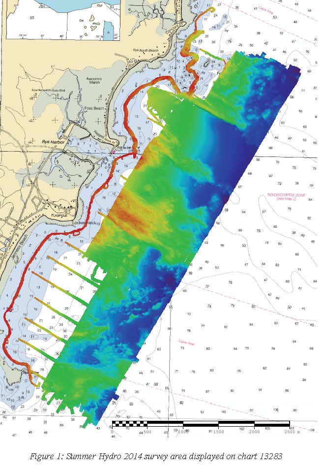
Federal
2014 Summer Hypoxia Watch Bottom CTD Station Locations recent views
National Oceanic and Atmospheric Administration, Department of Commerce —
The NOAA Hypoxia Watch project provides near-real-time, web-based maps of dissolved oxygen near the sea floor over the Texas-Louisiana continental shelf during a... -
Federal
2021 Oregon II 340 Hypoxia Watch Bottom CTD Station Locations recent views
National Oceanic and Atmospheric Administration, Department of Commerce —
The NOAA Hypoxia Watch project provides near-real-time, web-based maps of dissolved oxygen near the sea floor over the Texas-Louisiana continental shelf during a... -
Federal
2019 Oregon II 332 Hypoxia Watch Bottom CTD Station Locations recent views
National Oceanic and Atmospheric Administration, Department of Commerce —
The NOAA Hypoxia Watch project provides near-real-time, web-based maps of dissolved oxygen near the sea floor over the Texas-Louisiana continental shelf during a... -
Federal
Gulf of Mexico Hypoxia Watch Bottom Dissolved Oxygen Contours for October and November SEAMAP Cruise of 2008 recent views
National Oceanic and Atmospheric Administration, Department of Commerce —
The NOAA Hypoxia Watch project provides near-real-time, web-based maps of dissolved oxygen near the sea floor over the Texas-Louisiana continental shelf during a... -
Federal
W00502: NOS Hydrographic Survey , External Source Data 2020, 2014-07-01 recent views
National Oceanic and Atmospheric Administration, Department of Commerce —
The National Oceanic and Atmospheric Administration (NOAA) has the statutory mandate to collect hydrographic data in support of nautical chart compilation for safe... -
Federal
H11873: NOS Hydrographic Survey , Mid-Atlantic Corridor, Maryland, 2008-12-18 recent views
National Oceanic and Atmospheric Administration, Department of Commerce —
The National Oceanic and Atmospheric Administration (NOAA) has the statutory mandate to collect hydrographic data in support of nautical chart compilation for safe... -
Federal
H11821: NOS Hydrographic Survey , Brunswick, Georgia to Jacksonville, Florida Recommended Routes, 2008-05-01 recent views
National Oceanic and Atmospheric Administration, Department of Commerce —
The National Oceanic and Atmospheric Administration (NOAA) has the statutory mandate to collect hydrographic data in support of nautical chart compilation for safe...

Official websites use .gov
A
.gov website belongs to an official government
organization in the United States.
Secure .gov websites use HTTPS
A
lock (
) or https:// means you’ve safely connected to
the .gov website. Share sensitive information only on official,
secure websites.