
-
Federal
TIGER/Line Shapefile, 2024, County, Waukesha County, WI, Area Hydrography
U.S. Census Bureau, Department of Commerce —
The TIGER/Line shapefiles and related database files (.dbf) are an extract of selected geographic and cartographic information from the U.S. Census Bureau's Master... -
Federal
D00025: NOS Hydrographic Survey
National Oceanic and Atmospheric Administration, Department of Commerce —
The National Oceanic and Atmospheric Administration (NOAA) has the statutory mandate to collect hydrographic data in support of nautical chart compilation for safe... -
Federal
TIGER/Line Shapefile, 2023, County, Jackson County, AL, Address Ranges Relationship File
U.S. Census Bureau, Department of Commerce —
The TIGER/Line shapefiles and related database files (.dbf) are an extract of selected geographic and cartographic information from the U.S. Census Bureau's Master... -
Federal
SEAKEYS - Molasses Reef 2007 Meteorological and Oceanographic Observations (NODC Accession 0058101)
National Oceanic and Atmospheric Administration, Department of Commerce —
The Florida Institute of Oceanography's (FIO) SEAKEYS (Sustained Ecological Research Related to Management of the Florida Keys Seascape) program began in 1989 and has... -
Federal
TIGER/Line Shapefile, 2022, County, Medina County, OH, Address Range-Feature
U.S. Census Bureau, Department of Commerce —
The TIGER/Line shapefiles and related database files (.dbf) are an extract of selected geographic and cartographic information from the U.S. Census Bureau's Master... -
City
2020-2021 SSO & SFSP School Lunches Served
City of Austin —
Total school lunches served through SSO and SFSP from September 1, 2020 through May 31, 2021 as part of the COVID flexibility offered by USDA. -
Federal
TIGER/Line Shapefile, 2022, County, Grand Isle County, VT, Topological Faces (Polygons With All Geocodes)
U.S. Census Bureau, Department of Commerce —
The TIGER/Line shapefiles and related database files (.dbf) are an extract of selected geographic and cartographic information from the U.S. Census Bureau's Master... -
Federal
TIGER/Line Shapefile, Current, County, Andrews County, TX, Feature Names Relationship File
U.S. Census Bureau, Department of Commerce —
The TIGER/Line shapefiles and related database files (.dbf) are an extract of selected geographic and cartographic information from the U.S. Census Bureau's Master... -
Federal
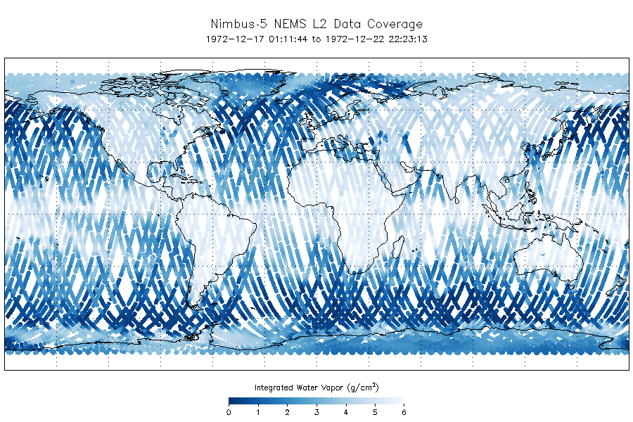
NEMS/Nimbus-5 Level 2 Output Data V001 (NEMSN5L2) at GES DISC
National Aeronautics and Space Administration —
NEMSN5L2 is the Nimbus-5 or Nimbus-E Microwave Spectrometer (NEMS) Level-2 Output Data product and contains surface reflectivity, water vapor, liquid water, layer... -
University
2011 Las Conchas Post Fire, h235106_ne_nw, CIR
Earth Data Analysis Center, University of New Mexico —
Wilson and Company collected and processed multi-spectral (red, green, blue, near-infrared) digital aerial imagery of the Las Conchas Fire that burned in the Santa Fe... -
Federal
Walton-Smith CTD, WS17282, WS17282_WS17282_Stn32, 2017-10-12, 25.8715N 81.834W
National Oceanic and Atmospheric Administration, Department of Commerce —
Walton-Smith Conductivity, Temperature, Depth (CTD) - WS17282 - WS17282_WS17282_Stn32 - 2017-10-12 - 25.8715N 81.834W. Hydrographic Measurements in the Gulf of... -
Federal
SALCHA R NR SALCHAKET AK (USGS 15484000)
National Oceanic and Atmospheric Administration, Department of Commerce —
Timeseries data from 'SALCHA R NR SALCHAKET AK (USGS 15484000)' (gov_usgs_nwis_15484000) -
Federal
TIGER/Line Shapefile, Current, County, Conway County, AR, Topological Faces (Polygons With All Geocodes)
U.S. Census Bureau, Department of Commerce —
The TIGER/Line shapefiles and related database files (.dbf) are an extract of selected geographic and cartographic information from the U.S. Census Bureau's Master... -
Federal
MER 2 MARS NAVIGATION CAMERA SLOPE RDR OPS V1.0
National Aeronautics and Space Administration —
not applicable -
Federal
TIGER/Line Shapefile, 2022, County, Merced County, CA, Feature Names Relationship File
U.S. Census Bureau, Department of Commerce —
The TIGER/Line shapefiles and related database files (.dbf) are an extract of selected geographic and cartographic information from the U.S. Census Bureau's Master... -
Federal
Aerial Imagery of the Florida Gulf Coast: 2024-10-16 to 2024-10-22, Post-Hurricane Milton
Department of the Interior —
The U.S. Geological Survey (USGS) Remote Sensing Coastal Change (RSCC) project collects aerial imagery along coastal swaths with optimized endlap/sidelap and precise... -
Federal
SIMPLE Photometry Catalog
National Aeronautics and Space Administration —
The Spitzer IRAC/MUSYC Public Legacy Survey in the Extended Chandra Deep Field South (SIMPLE) consists of deep IRAC observations (several hours per pointing) covering... -
Federal
NOAA/WDS Paleoclimatology - Larson - Goethe State Forest - PIPA - ITRDB FL022
National Oceanic and Atmospheric Administration, Department of Commerce —
This archived Paleoclimatology Study is available from the NOAA National Centers for Environmental Information (NCEI), under the World Data Service (WDS) for... -
Federal
TIGER/Line Shapefile, Current, County, Merrick County, NE, Address Ranges Relationship File
U.S. Census Bureau, Department of Commerce —
The TIGER/Line shapefiles and related database files (.dbf) are an extract of selected geographic and cartographic information from the U.S. Census Bureau's Master... -
Federal
ROSETTA-ORBITER 67P RSI 1/2/3 PRELANDING 0221 V1.0
National Aeronautics and Space Administration —
This is a Rosetta Radio Science data set, collected during the PRELANDING phase 2014-01-21 to 2014-11-18. It is a Global Gravity measurement at the comet 67P and...

Official websites use .gov
A
.gov website belongs to an official government
organization in the United States.
Secure .gov websites use HTTPS
A
lock (
) or https:// means you’ve safely connected to
the .gov website. Share sensitive information only on official,
secure websites.