
-
Federal
TIGER/Line Shapefile, 2022, County, Marshall County, WV, All Lines
U.S. Census Bureau, Department of Commerce —
The TIGER/Line shapefiles and related database files (.dbf) are an extract of selected geographic and cartographic information from the U.S. Census Bureau's Master... -
Federal
ROSETTA-ORBITER 67P RSI 1/2/3 COMET ESCORT 4 1300 V1.0
National Aeronautics and Space Administration —
This is a Rosetta Radio Science data set, collected during the COMET ESCORT 4 phase 2015-10-22 to 2015-12-31. It is a Global Gravity measurement at the comet 67P and... -
Federal
CRED REA Coral Population Paramaters at Swain's Island, American Samoa, 2006
National Oceanic and Atmospheric Administration, Department of Commerce —
Belt transects along 1 or 2 consecutively-placed, 25m transect lines were surveyed as part of Rapid Ecological Assessments conducted at 8 sites at Swain's Island in... -
Federal
UST/LUST Site Information
U.S. Environmental Protection Agency —
This asset contains all Underground Storage Tank (UST) site information. It includes details such as property location, acreage, identification and characterization,... -
Federal
FIREBAG RIVER NEAR THE MOUTH
National Oceanic and Atmospheric Administration, Department of Commerce —
Timeseries data from 'FIREBAG RIVER NEAR THE MOUTH' (ca_hydro_07DC001) -
Federal
Pennsylvania Sentencing Data, 1998
Department of Justice —
The Pennsylvania Commission on Sentencing is a legislative agency of the Commonwealth of Pennsylvania that develops sentencing guidelines for judges to use when... -
Federal
MAVEN SEP Calibrated Data Bundle
National Aeronautics and Space Administration —
The maven.sep.calibrated Level 2 Science Data Bundle contains fully calibrated SEP data, as well as the raw count data from which they are derived, and ancillary... -
Federal
Utah FORGE 2-2439v2: A Multi-Component Approach to Characterizing In-Situ Stress - 2025 Workshop Presentation
Department of Energy —
This is a presentation on A Multi-Component Approach to Characterizing In-Situ Stress at the U.S DOE FORGE EGS Site: Laboratory, Modeling and Field Measurement... -
City
District Resource Statement (DRS)
City of New York —
This dataset includes information regarding the population of individuals and households receiving SNAP, Cash Assistance, and/or Medicaid. -
Federal
National Assessment of Oil and Gas Project - Sacramento Basin Province (009) Boundary
Department of the Interior —
The USGS Central Region Energy Team assesses oil and gas resources of the United States. The onshore and State water areas of the United States comprise 71 provinces.... -
Federal
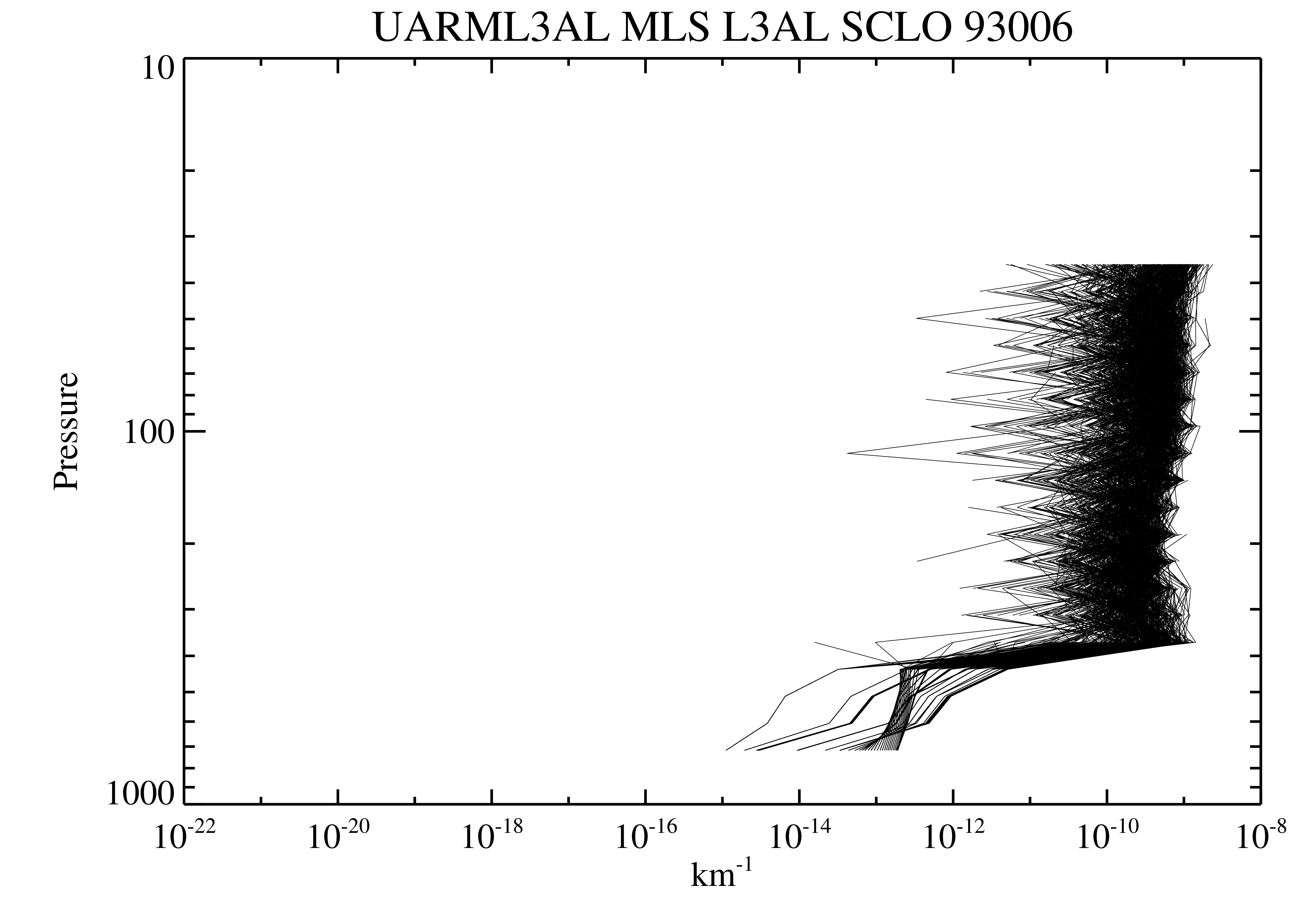
UARS Microwave Limb Sounder (MLS) Level 3AL V005 (UARML3AL) at GES DISC
National Aeronautics and Space Administration —
The Microwave Limb Sounder (MLS) Level 3AL data product consists of daily, 4 degree increment latitude-ordered vertical profiles of temperature, geopotential height,... -
Federal
TIGER/Line Shapefile, 2023, County, Hancock County, ME, Area Hydrography
U.S. Census Bureau, Department of Commerce —
The TIGER/Line shapefiles and related database files (.dbf) are an extract of selected geographic and cartographic information from the U.S. Census Bureau's Master... -
Federal
Fuels Program Registration
U.S. Environmental Protection Agency —
This asset provides identification data on renewable fuel producers, importers, laboratories, and facilities. -
Federal
Ground-Based Global Navigation Satellite System High-rate Mixed Broadcast Ephemeris Data (sub-hourly files) from NASA CDDIS
National Aeronautics and Space Administration —
This dataset consists of ground-based Global Navigation Satellite System (GNSS) Mixed Broadcast Ephemeris Data (sub-hourly files) from the NASA Crustal Dynamics Data... -
Federal
Potential suitable habitat for Palmer’s mariposa lily (Calochortus palmeri var. palmeri) in the California desert
Department of the Interior —
Here we present the map of potential suitable habitat for Palmer’s mariposa lily (Calochortus palmeri var. palmeri). The data indicate both how many models predicted... -
Federal
TIGER/Line Shapefile, 2015, 2010 nation, U.S., 2010 Census Urban Area National
U.S. Census Bureau, Department of Commerce —
The TIGER/Line shapefiles and related database files (.dbf) are an extract of selected geographic and cartographic information from the U.S. Census Bureau's Master... -
County
2017 Lake County Aerial - SW Quarter
Lake County, Illinois —
This three inch pixel resolution color aerial photography was flown between March 11, 2017 and April 12, 2017. The files are provided in JPEG2000, an open format... -
Federal
Walton-Smith CTD, WS16319, WS16319_WS16319Stn65, 2016-11-16, 25.1003N 81.0922W
National Oceanic and Atmospheric Administration, Department of Commerce —
Walton-Smith Conductivity, Temperature, Depth (CTD) - WS16319 - WS16319_WS16319Stn65 - 2016-11-16 - 25.1003N 81.0922W. Hydrographic Measurements in the Gulf of...

Official websites use .gov
A
.gov website belongs to an official government
organization in the United States.
Secure .gov websites use HTTPS
A
lock (
) or https:// means you’ve safely connected to
the .gov website. Share sensitive information only on official,
secure websites.