
-
Federal
Sentinel-3A OLCI Level-3M Global Mapped Earth-observation Reduced Resolution (ERR) Remote-Sensing Reflectance (RRS) - Near Real-time (NRT) Data, version R2022.0
National Aeronautics and Space Administration —
The Ocean Biology DAAC produces near real-time (quicklook) products using the best-available combination of ancillary data from meteorological and ozone data. As... -
Federal
OPERA Dynamic Surface Water Extent from Harmonized Landsat Sentinel-2 provisional product (Version 1)
National Aeronautics and Space Administration —
This dataset contains Level-3 Dynamic OPERA provisional surface water extent product version 1. The data are provisional surface water extent observations beginning... -
Federal
SnowEx20-21 QSI Lidar Snow Depth 0.5m UTM Grid V001
National Aeronautics and Space Administration —
This data set is part of the SnowEx 2020 and SnowEx 2021 campaigns and provides snow depth values at a 0.5 m spatial resolution, derived from point cloud digital... -
Federal
MODIS/Aqua Snow Cover 8-Day L3 Global 500m SIN Grid V061 NGDA
National Aeronautics and Space Administration —
This global Level-3 (L3) data set provides the maximum snow cover extent (SNE) observed over an eight-day period within 10° x 10° MODIS sinusoidal grid tiles. Tiles... -
Federal
ABoVE: AirSWOT Color-Infrared Imagery Over Alaska and Canada, 2017
National Aeronautics and Space Administration —
This dataset contains georeferenced three-band orthomosaics of green, red, and near-infrared (NIR) digital imagery at 1m resolution collected over selected surface... -
Federal
ER-2 X-Band Doppler Radar (EXRAD) EPOCH V1
National Aeronautics and Space Administration —
The ER-2 X-Band Doppler Radar (EXRAD) EPOCH dataset consists of radar reflectivity and Doppler velocity estimates collected by the EXRAD onboard the AV-6 Global Hawk... -
Federal
Global Forest Observations Initiative (GFOI) - Fiji
National Aeronautics and Space Administration —
The Global Forest Observations Initiative (GFOI) is an initiative of the inter-governmental Group on Earth Observations (GEO) that aims to: foster the sustained... -
Federal
TROPICS03 L2B Deep Multispectral INtensity (DMIN) of Tropical cyclones estimator Algorithm V1.0
National Aeronautics and Space Administration —
The "Time-Resolved Observations of Precipitation structure and storm Intensity with a Constellation of Smallsats" (TROPICS) mission has a goal of providing nearly... -
Federal
National Assessment of Oil and Gas Project - Wind River Basin Province Boundary
Department of the Interior —
The USGS Central Region Energy Team assesses oil and gas resources of the United States. The onshore and State water areas of the United States comprise 71 provinces.... -
Federal
Mirador - Earth Surface and Interior
National Aeronautics and Space Administration —
Earth Science data access made simple. The goal of the Earth Surface and Interior focus area is to assess, mitigate and forecast the natural hazards that affect... -
Federal
Slab2 - A Comprehensive Subduction Zone Geometry Model, Cotabato Region
Department of the Interior —
Subduction zones are home to the most seismically active faults on the planet. The shallow megathrust interface of subduction zones host our largest earthquakes, and... -
Federal
Sounder SIPS: AQUA AIRS IR + MW Level 3 CLIMCAPS: Specific Quality Control Gridded Monthly V2 at GES DISC
National Aeronautics and Space Administration —
WARNING: To users of the derived product “co_mmr_midtrop” (carbon monoxide mass mixing ratio to dry air [kg/kg] at ~500 hPa). This variable has a significant bias due... -
Federal
Ground-Based Global Navigation Satellite System (GNSS) GPS real-time POD Clock Corrections (1-second sampling, 60-second files) from NASA CDDIS
National Aeronautics and Space Administration —
This product contains a high-rate time series of clock biases for healthy satellites in the GPS constellation that are accumulated every minute throughout the day. In... -
Federal
Estimated Thickness of the Lower Miocene 1 Sequence, Gulf Coast
Department of the Interior —
The thickness contours were created using biostratigraphic data in the Paleo-Data, Inc., Tenroc Regional Geologic Database. The depths of the microfossil locations... -
Federal
SMAPVEX19-22 Massachusetts Temporary Soil Moisture Network V001
National Aeronautics and Space Administration —
These data consist of ground-based, soil moisture, soil temperature, and air temperature measurements recorded by twenty-five temporary stations located in the... -
Federal
National Assessment of Oil and Gas Project - Montana Thrust Belt Province (027) Assessment Units
Department of the Interior —
The Assessment Unit is the fundamental unit used in the National Assessment Project for the assessment of undiscovered oil and gas resources. The Assessment Unit is... -
Federal
SnowEx21 Prairie Station Digital Surface Models from UAV-LiDAR V001
National Aeronautics and Space Administration —
This dataset consists of Digital Surface Models (DSMs) derived from UAV-LiDAR acquired during the SnowEx 2021 field campaign at the Central Agricultural Research... -
Federal
MODIS/Terra Snow Cover Daily L3 Global 0.05Deg CMG V061 NGDA
National Aeronautics and Space Administration —
This global Level-3 (L3) data set provides the percentage of snow-covered land and cloud-covered land observed daily, within 0.05° (approx. 5 km) MODIS Climate... -
Federal
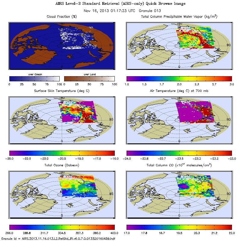
AIRS/Aqua L2 Near Real Time (NRT) Standard Physical Retrieval (AIRS-only) V006 (AIRS2RET_NRT) at GES DISC
National Aeronautics and Space Administration —
The Atmospheric Infrared Sounder (AIRS) Level 2 Near Real Time (NRT) Standard Physical Retrieval (AIRS-only) product (AIRS2RET_NRT_006) differs from the routine... -
Federal
SBU Ceilometers IMPACTS V1
National Aeronautics and Space Administration —
The SBU Ceilometers IMPACTS dataset includes ceilometer cloud height measurements collected by the Vaisala CL51, Vaisala CT25K, and Lufft Ceilometer CHM 15k...

Official websites use .gov
A
.gov website belongs to an official government
organization in the United States.
Secure .gov websites use HTTPS
A
lock (
) or https:// means you’ve safely connected to
the .gov website. Share sensitive information only on official,
secure websites.