
-
Federal
GPM Ground Validation TRMM Multi-satellite Precipitation Analysis (TMPA) IFloodS V7 recent views
National Aeronautics and Space Administration —
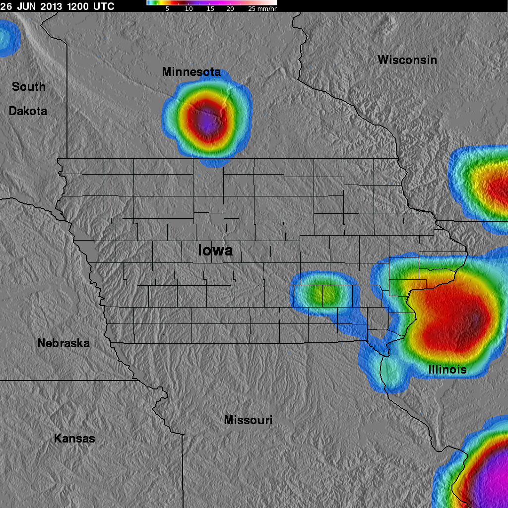
The GPM Ground Validation TRMM Multi-satellite Precipitation Analysis (TMPA) IFloodS dataset is a subset of the TMPA 3B42RT gridded precipitation real-time product... -
Federal
Hurricane and Severe Storm Sentinel (HS3) Cooperative Institute for Meteorological Satellite Studies (CIMSS) Tropical Overshooting Tops V1 recent views
National Aeronautics and Space Administration —
The Hurricane and Severe Storm Sentinel (HS3) Cooperative Institute for Meteorological Satellite Studies (CIMSS) Tropical Overshooting Tops dataset contains browse... -
Federal
TAO/TRITON, RAMA, and PIRATA Buoys, Quarterly, 2000-present, Longwave Radiation recent views
National Oceanic and Atmospheric Administration, Department of Commerce —
This dataset has quarterly Incoming Longwave Radiation data from the TAO/TRITON (Pacific Ocean, https://www.pmel.noaa.gov/gtmba/ ), RAMA (Indian Ocean,... -
Federal
CalCOFI Larvae Counts Positive Tows recent views
National Oceanic and Atmospheric Administration, Department of Commerce —
Fish larvae counts and standardized counts for eggs captured in CalCOFI icthyoplankton nets (primarily vertical [Calvet or Pairovet], oblique [bongo or ring nets],... -
Federal
TAO/TRITON, RAMA, and PIRATA Buoys, 5-Day, 1977-present, Wind recent views
National Oceanic and Atmospheric Administration, Department of Commerce —
This dataset has 5-day Wind data from the TAO/TRITON (Pacific Ocean, https://www.pmel.noaa.gov/gtmba/ ), RAMA (Indian Ocean, https://www.pmel.noaa.gov/gtmba/pmel-... -
Federal
Sentinel-5P TROPOMI Radiance product band 8 (SWIR detector) L1B 5.5km x 7km V2 (S5P_L1B_RA_BD8_HiR) at GES DISC recent views
National Aeronautics and Space Administration —
Starting from August 6th in 2019, Sentinel-5P TROPOMI along-track high spatial resolution (~5.5km at nadir) has been implemented. For data before August 6th of 2019,... -
Federal
GPM Ground Validation Kumpula Mast Meteorological Data LPVEx V1 recent views
National Aeronautics and Space Administration —
The GPM Ground Validation Kumpula Mast Meteorological Data LPVEx dataset is comprised of temperature, radiation, and wind measurements collected by the Station for... -
Federal
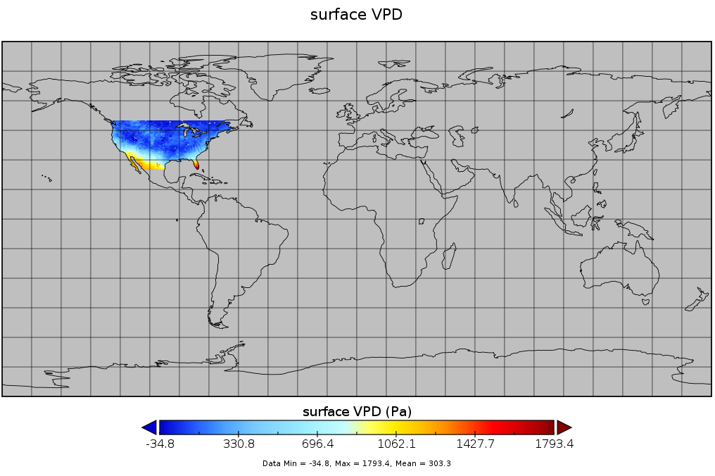
Spatial Statistical Data Fusion (SSDF) Level 3: CONUS Near-Surface Vapor Pressure Deficit from SNPP CrIMSS and Aqua AIRS, V2 (SNDR13IML3SSDFCVPD) recent views
National Aeronautics and Space Administration —
The Spatial Statistical Data Fusion (SSDF) surface continental United States (CONUS) products, fuse data from the Atmospheric InfraRed Sounder (AIRS) instrument on... -
Federal
CAR SKUKUZA BRDF Measurements L1 V2 (CAR_SKUKUZA_BRDF) at GES DISC recent views
National Aeronautics and Space Administration —
CAR mission Skukuza measured bidirectional reflection functions over different natural surfaces and ecosystems in southern Africa. The measurements were conducted to... -
Federal
GPM MHS on NOAA18 (GPROF) Radiometer Precipitation Profiling L3 1 day 0.25 degree x 0.25 degree V07 (GPM_3GPROFNOAA18MHS_DAY_CLIM) at GES DISC recent views
National Aeronautics and Space Administration —
Version 07 is the current version of the data set. Older versions are no longer available and have been superseded by Version 07. The "CLIM" products differ from... -
Federal
CAR ECO3D BRDF Measurements V2 (CAR_ECO3D_BRDF) at GES DISC recent views
National Aeronautics and Space Administration —
This study provide critical measurements on 3-dimensional structure of vegetation, which is important for quantifying the amount of carbon stored in biomass. It... -
Federal
GPM ATMS on NOAA-21 (GPROF) Radiometer Precipitation Profiling L2A 1.5 hours 17 km V07 (GPM_2AGPROFNOAA21ATMS) at GES DISC recent views
National Aeronautics and Space Administration —
Version 07 is the current version of the data set. The 2AGPROF (also known as, GPM GPROF (Level 2)) algorithm retrieves consistent precipitation and related science... -
Federal
SatCORPS CERES GEO Edition 4 MTSAT-2R Southern Hemisphere Version 1.2 recent views
National Aeronautics and Space Administration —
CER_GEO_Ed4_MTS02_SH_V01.2 is the Satellite Cloud and Radiation Property retrieval System (SatCORPS) Clouds and the Earth's Radiant Energy System (CERES)... -
Federal
FNMOC Ekman Transports, 360x180, 6-hourly recent views
National Oceanic and Atmospheric Administration, Department of Commerce —
Ekman transports and wind stress curl calculated from geostrophic winds based on FNMOC 360x180 (1-degree) analyzed fields of sea level pressure. This dataset has data... -
Federal
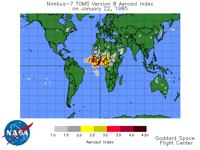
TOMS Earth Probe UV Aerosol Index Daily L3 Global 1 deg x 1.25 deg Lat/Lon Grid V008 (TOMSEPL3daer) at GES DISC recent views
National Aeronautics and Space Administration —
This Earth Probe (EP) Total Ozone Mapping Spectrometer (TOMS) version 8 daily global gridded data product contains UV aerosol index values. The data are mapped to a... -
Federal
Sentinel-3A OLCI Level-2 Earth-observation Reduced-Resolution (ERR) Inherent Optical Properties (IOP), Near Real-time (NRT) Data, version R2022.0 recent views
National Aeronautics and Space Administration —
The Ocean Biology DAAC produces near real-time (quicklook) products using the best-available combination of ancillary data from meteorological and ozone data. As... -
Federal
Sentinel-3B OLCI Level-3B Global Binned Earth-observation Reduced Resolution (ERR) Remote-Sensing Reflectance (RRS) - Near Real-time (NRT) Data, version R2022.0 recent views
National Aeronautics and Space Administration —
The Ocean Biology DAAC produces near real-time (quicklook) products using the best-available combination of ancillary data from meteorological and ozone data. As... -
Federal
Sentinel-3A OLCI Level-1B Earth-observation Full Resolution (EFR) Data, version 1 recent views
National Aeronautics and Space Administration —
The Ocean and Land Colour Instrument (OLCI) is the successor to ENVISAT's Medium Resolution Imaging Spectrometer (MERIS) having additional spectral channels,... -
Federal
Inventory of Arctic Rain on Snow Events: Meteorological and Surface Conditions, Version 1 recent views
National Aeronautics and Space Administration —
This data set contains surface and upper air data from global atmospheric reanalysis, and passive microwave brightness temperatures for rain on snow events in the... -
Federal
OMI/Aura NO2 Cloud-Screened Total and Tropospheric Column L3 Global Gridded 0.25 degree x 0.25 degree V3 (OMNO2d) at GES DISC recent views
National Aeronautics and Space Administration —
This is Level-3 daily global gridded (0.25x0.25 degree) Nitrogen Dioxide Product (OMNO2d). OMNO2d data product is a Level-3 Gridded Product where pixel level data of...

Official websites use .gov
A
.gov website belongs to an official government
organization in the United States.
Secure .gov websites use HTTPS
A
lock (
) or https:// means you’ve safely connected to
the .gov website. Share sensitive information only on official,
secure websites.