
-
Federal
GLDAS Noah Land Surface Model L4 monthly 0.25 x 0.25 degree V2.1 (GLDAS_NOAH025_M) at GES DISC recent views
National Aeronautics and Space Administration —
NASA Global Land Data Assimilation System Version 2 (GLDAS-2) has three components: GLDAS-2.0, GLDAS-2.1, and GLDAS-2.2. GLDAS-2.0 is forced entirely with the... -
Federal
Global Forest Ecosystem Structure and Function Data For Carbon Balance Research recent views
National Aeronautics and Space Administration —
A comprehensive global database has been assembled to quantify CO2 fluxes and pathways across different levels of integration (from photosynthesis up to net ecosystem... -
Federal
MERRA-2 tavg1_2d_slv_Nx: 2d,1-Hourly,Time-Averaged,Single-Level,Assimilation,Single-Level Diagnostics 0.625 x 0.5 degree V5.12.4 (M2T1NXSLV) at GES DISC recent views
National Aeronautics and Space Administration —
M2T1NXSLV (or tavg1_2d_slv_Nx) is an hourly time-averaged 2-dimensional data collection in Modern-Era Retrospective analysis for Research and Applications version 2... -
Federal
GLDAS Catchment Land Surface Model L4 daily 0.25 x 0.25 degree GRACE-DA1 V2.2 (GLDAS_CLSM025_DA1_D) at GES DISC recent views
National Aeronautics and Space Administration —
NASA Global Land Data Assimilation System Version 2 (GLDAS-2) has three components: GLDAS-2.0, GLDAS-2.1, and GLDAS-2.2. GLDAS-2.0 is forced entirely with the... -
Federal
NLDAS Noah Land Surface Model L4 Monthly 0.125 x 0.125 degree V2.0 (NLDAS_NOAH0125_M) at GES DISC recent views
National Aeronautics and Space Administration —
This data set contains fifty-two fields simulated from the Noah land-surface model (LSM) for Phase 2 of the North American Land Data Assimilation System (NLDAS-2).... -
Federal
Comprehensive Ocean - Atmosphere Data Set (COADS) LMRF Arctic Subset, 1950 - 1995, Version 1 recent views
National Aeronautics and Space Administration —
The Comprehensive Ocean - Atmosphere Data Set (COADS) Long Marine Reports Fixed-Length (LMRF) Arctic subset contains marine surface weather reports for regions north... -
Federal
NLDAS Secondary Forcing Data L4 Hourly 0.125 x 0.125 degree V2.0 (NLDAS_FORB0125_H) at GES DISC recent views
National Aeronautics and Space Administration —
This data set contains the secondary forcing hourly data "File B" for Phase 2 of the North American Land Data Assimilation System (NLDAS-2). The data are in 1/8th... -
Federal
FLDAS Noah Land Surface Model L4 Global Monthly 0.1 x 0.1 degree (MERRA-2 and CHIRPS) V001 (FLDAS_NOAH01_C_GL_M) at GES DISC recent views
National Aeronautics and Space Administration —
This dataset contains a series of land surface parameters simulated from the Noah 3.6.1 model in the Famine Early Warning Systems Network (FEWS NET) Land Data... -
Federal
GLDAS Noah Land Surface Model L4 monthly 1.0 x 1.0 degree V2.1 (GLDAS_NOAH10_M) at GES DISC recent views
National Aeronautics and Space Administration —
NASA Global Land Data Assimilation System Version 2 (GLDAS-2) has three components: GLDAS-2.0, GLDAS-2.1, and GLDAS-2.2. GLDAS-2.0 is forced entirely with the... -
Federal
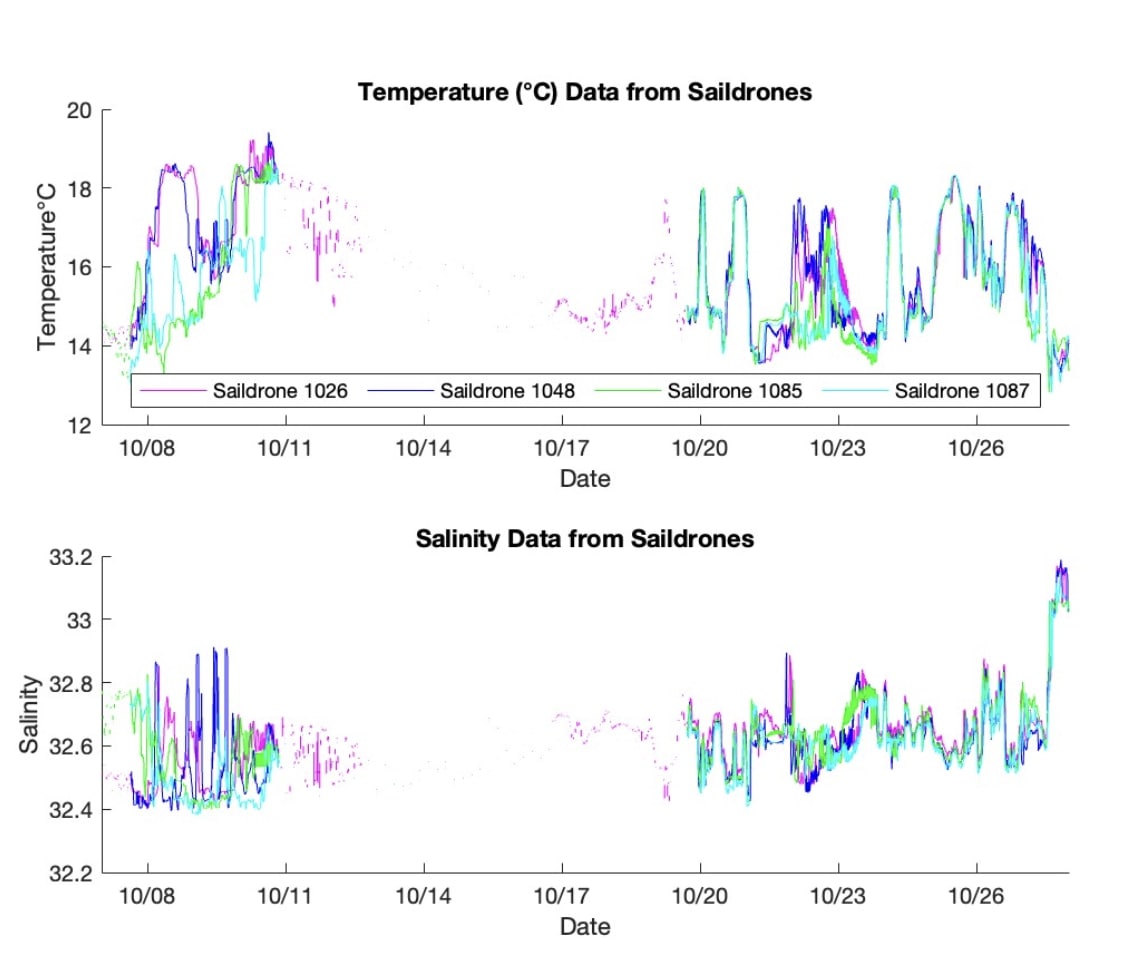
S-MODE L2 Temperature and Salinity from Saildrones Version 1 recent views
National Aeronautics and Space Administration —
This dataset contains Saildrone in-situ measurements taken during the Sub-Mesoscale Ocean Dynamics Experiment (S-MODE) conducted approximately 300 km offshore of San... -
Federal
SMEX02 SMACEX Tower Meteorological/Flux Data: Iowa, Version 1 recent views
National Aeronautics and Space Administration —
Notice to Data Users: The documentation for this data set was provided solely by the Principal Investigator(s) and was not further developed, thoroughly reviewed, or... -
Federal
CERES Monthly Gridded Radiative Fluxes and Clouds Terra FM1 Edition2F recent views
National Aeronautics and Space Administration —
CER_FSW_Terra-FM1-MODIS_Edition2F is the Clouds and the Earth's Radiant Energy System (CERES) Monthly Gridded Radiative Fluxes and Clouds Terra Flight Model 1 (FM1)... -
Federal
Hurricane and Severe Storm Sentinel (HS3) Statistical Hurricane Intensity Prediction Scheme (SHIPS) Intensity V1 recent views
National Aeronautics and Space Administration —
The Hurricane and Severe Storm Sentinel (HS3) Statistical Hurricane Intensity Prediction Scheme (SHIPS) Intensity dataset was obtained from March 18, 2014 through... -
Federal
CERES A-Train Integrated CALIPSO, CloudSat, CERES, and MODIS (CCCM) Merged Release B1 NGDA recent views
National Aeronautics and Space Administration —
CER-NEWS_CCCM_Aqua-FM3-MODIS-CAL-CS_RelB1 is the Clouds and the Earth's Radiant Energy System (CERES) NASA Energy and Water cycle Study (NEWS) A-Train Integrated... -
Federal
MERRA-2 inst3_3d_asm_Np: 3d,3-Hourly,Instantaneous,Pressure-Level,Assimilation,Assimilated Meteorological Fields 0.625 x 0.5 degree V5.12.4 (M2I3NPASM) at GES DISC recent views
National Aeronautics and Space Administration —
M2I3NPASM (or inst3_3d_asm_Np) is an instantaneous 3-dimensional 3-hourly data collection in Modern-Era Retrospective analysis for Research and Applications version 2... -
Federal
GLDAS Noah Land Surface Model L4 3 hourly 0.25 x 0.25 degree V2.0 (GLDAS_NOAH025_3H) at GES DISC recent views
National Aeronautics and Space Administration —
NASA Global Land Data Assimilation System Version 2 (GLDAS-2) has three components: GLDAS-2.0, GLDAS-2.1, and GLDAS-2.2. GLDAS-2.0 is forced entirely with the... -
Federal
SMAPVEX19-22 Massachusetts Vegetation Optical Depth V001 recent views
National Aeronautics and Space Administration —
As part of the SMAPVEX19-22 campaign, an L-band radiometer was deployed on top of a tower at Harvard Forest,Massachusetts, looking down at a stand of red oak forest.... -
Federal
TES/Aura L2 Methanol Nadir Special Observation V008 recent views
National Aeronautics and Space Administration —
TL2MTLNS_8 is the Tropospheric Emission Spectrometer (TES)/Aura Level 2 Methanol Nadir Special Observation Version 8 data product. TES was an instrument aboard NASA's... -
Federal
First ISCCP Regional Experiment (FIRE) Atlantic Stratocumulus Transition Experiment (ASTEX) United Kingdom Meteorological Office (UKMO) C-130 Aircraft Data recent views
National Aeronautics and Space Administration —
The First ISCCP Regional Experiments have been designed to improve data products and cloud/radiation parameterizations used in general circulation models (GCMs).... -
Federal
GEWEX SRB Integrated Product (Rel-4) Ancillary 3-Hourly recent views
National Aeronautics and Space Administration —
GEWEX SRB Integrated Product (Rel-4) Ancillary 3-Hourly contains the global fields of meteorology, clouds and other ancillary data that serves as the inputs to the...

Official websites use .gov
A
.gov website belongs to an official government
organization in the United States.
Secure .gov websites use HTTPS
A
lock (
) or https:// means you’ve safely connected to
the .gov website. Share sensitive information only on official,
secure websites.