

11 datasets found
-
Federal
GRIP HURRICANE IMAGING RADIOMETER (HIRAD) V1
National Aeronautics and Space Administration —
The GRIP Hurricane Imaging Radiometer (HIRAD) V1 dataset contains measurements of brightness temperature taken at 4, 5, 6 and 6.6 GHz, as well as MERRA 2 m wind speed... -
Federal
TCSP HIGH ALTITUDE MMIC SOUNDING RADIOMETER (HAMSR) V1
National Aeronautics and Space Administration —
The High Altitude MMIC Sounding Radiometer (HAMSR) is a 25-channel microwave atmospheric sounder operating as a cross-track scanner. There are three bands: an... -
Federal
SWOT Level 2 Radiometer Brightness Temperatures and Troposphere Interim Data Product Version 1.0
National Aeronautics and Space Administration —
The SWOT Level 2 Radiometer Brightness Temperatures and Troposphere Interim Geophysical Data Record (IGDR) Version 1.0 dataset produced by the Surface Water and Ocean... -
Federal
SWOT Level 2 Radiometer Brightness Temperatures and Troposphere Operational Data Product, Version 2.0
National Aeronautics and Space Administration —
The SWOT Level 2 Radiometer Brightness Temperatures and Troposphere Operational Geophysical Data Record (OGDR) Version 1.0 dataset produced by the Surface Water and... -
Federal
SWOT Level 2 Radiometer Brightness Temperatures and Troposphere Operational Data Product Version 1.0
National Aeronautics and Space Administration —
The SWOT Level 2 Radiometer Brightness Temperatures and Troposphere Operational Geophysical Data Record (OGDR) Version 1.0 dataset produced by the Surface Water and... -
Federal
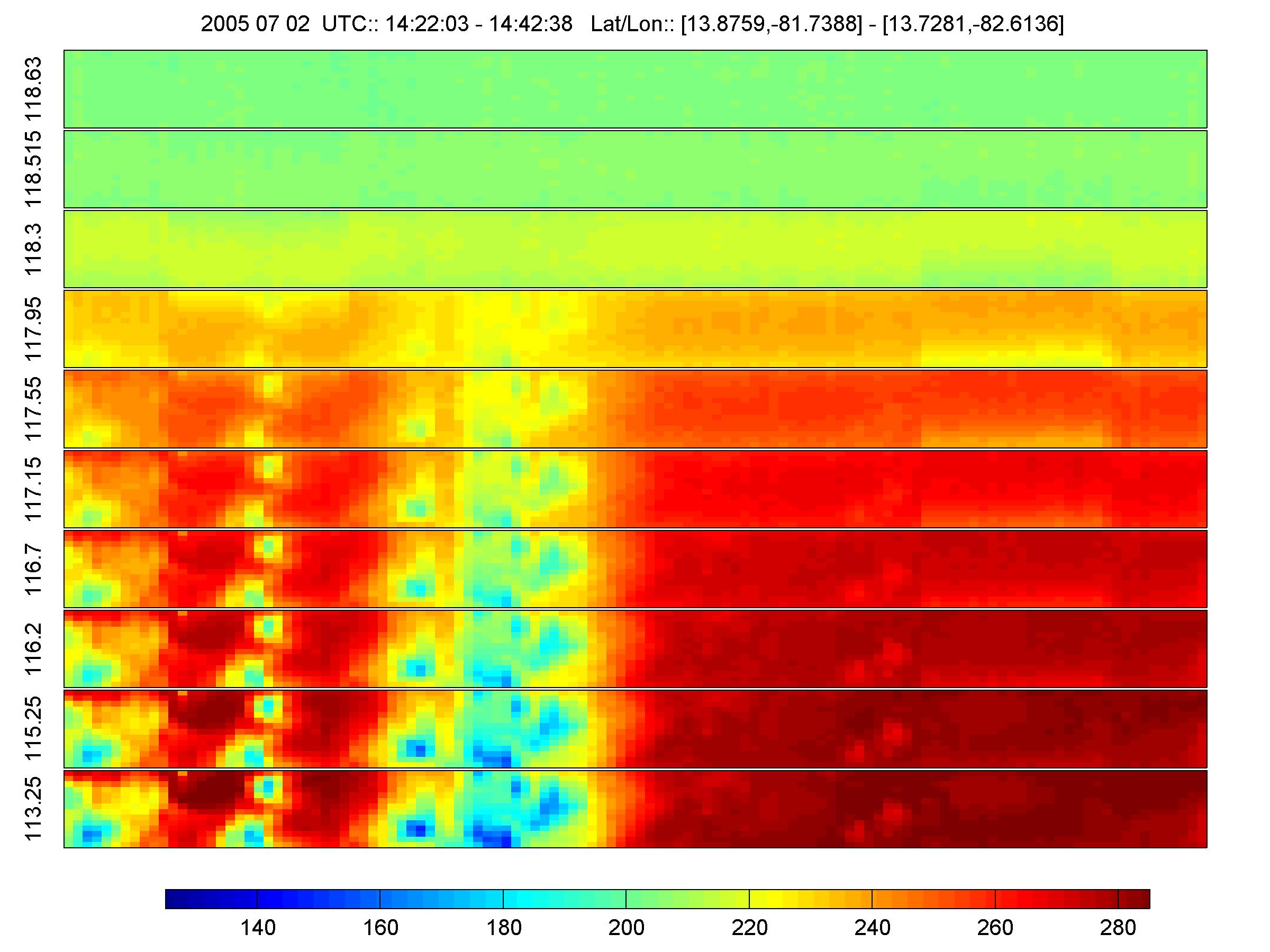
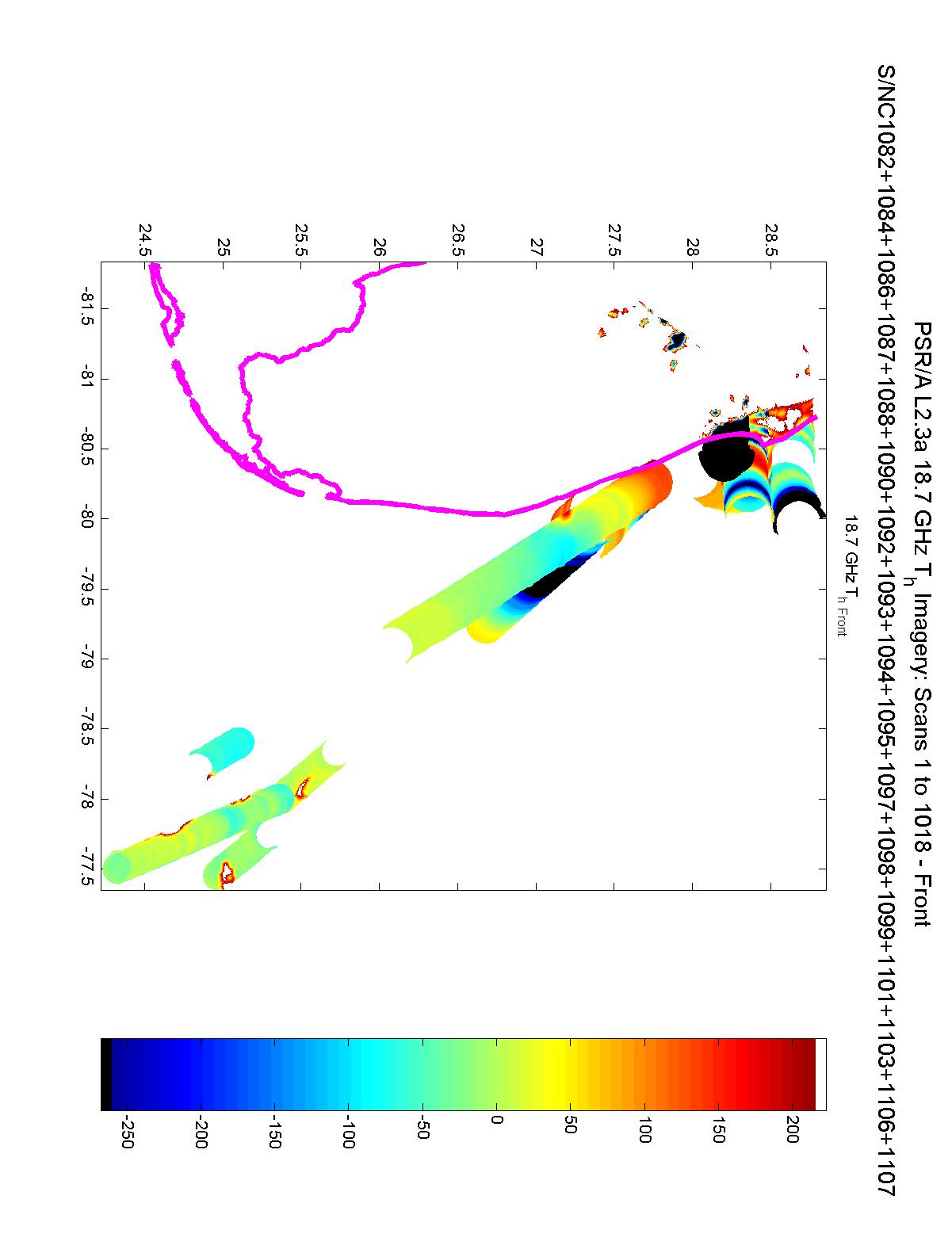
CAMEX-3 POLARIMETRIC SCANNING RADIOMETER (PSR) V1
National Aeronautics and Space Administration —
The Polarimetric Scanning Radiometer (PSR) is a versatile airborne microwave imaging radiometer developed by the Georgia Institute of Technology and the NOAA... -
Federal
SWOT Level 2 Radiometer Brightness Temperatures and Troposphere Interim Data Product, Version 2.0
National Aeronautics and Space Administration —
The SWOT Level 2 Radiometer Brightness Temperatures and Troposphere Interim Geophysical Data Record (IGDR) Version 1.0 dataset produced by the Surface Water and Ocean... -
Federal
MLS/Aura Level 2 Diagnostics, Geophysical Parameter Grid V004 (ML2DGG) at GES DISC
National Aeronautics and Space Administration —
ML2DGG is the EOS Aura Microwave Limb Sounder (MLS) product containing geophysical diagnostic quantities pertaining directly to the standard geophysical data... -
Federal
SMMR/Nimbus-7 Color Images V001 (SMMRN7IM) at GES DISC
National Aeronautics and Space Administration —
SMMRN7IM is the Nimbus-7 Scanning Multichannel Microwave Radiometer (SMMR) Color Image data product scanned from 17" x 15" color prints and saved as JPEG-2000 files.... -
Federal
MLS/Aura Level 2 Diagnostics, Geophysical Parameter Grid V005 (ML2DGG) at GES DISC
National Aeronautics and Space Administration —
ML2DGG is the EOS Aura Microwave Limb Sounder (MLS) product containing geophysical diagnostic quantities pertaining directly to the standard geophysical data... -
Federal
GRIP HURRICANE IMAGING RADIOMETER (HIRAD) V0
National Aeronautics and Space Administration —
The GRIP Hurricane Imaging Radiometer (HIRAD) dataset was collected by the HIRAD instrument, which is a hurricane imaging, single-polarization passive C-band...
11 datasets found