
-
Federal
CYGNSS Level 3 Ocean Microplastic Concentration Version 3.2
National Aeronautics and Space Administration —
The CYGNSS L3 Ocean Microplastic Concentration V3.2 dataset is provided by the CYGNSS Science Team of the University of Michigan.CYGNSS was launched on 15 December... -
Federal
CYGNSS L3 Ocean Microplastic Concentration V1.0
National Aeronautics and Space Administration —
This dataset contains the version 1.0 CYGNSS level 3 ocean microplastic concentration data record, which provides 18 netCDF files, each containing one month of daily... -
Federal
CYGNSS Level 3 MRG Science Data Record Near Real Time Version 3.2.1
National Aeronautics and Space Administration —
This dataset contains the version 3.2.1 CYGNSS Level 3 Merged (MRG) Science Data Record Near Real Time (NRT) Storm Wind Speed derived from the Delay Doppler Mapping... -
Federal
UC Berkeley CYGNSS Level 3 Daily RWAWC Watermask Version 3.2
National Aeronautics and Space Administration —
The CYGNSS Level 3 UC Berkeley Watermask Record Version 3.2 was developed by CYGNSS investigators in the Department of Civil and Environmental Engineering at the... -
Federal
HIRENASD Beam FEM
National Aeronautics and Space Administration —
This contains attempts to create BEAM FEM model. I have started a Blog to discuss this... please put your comments there and I will attempt to keep everything... -
Federal
CYGNSS Level 1 Science Data Record Version 2.1
National Aeronautics and Space Administration —
This Level 1 (L1) dataset contains the Version 2.1 geo-located Delay Doppler Maps (DDMs) calibrated into Power Received (Watts) and Bistatic Radar Cross Section... -
Federal
CYGNSS Level 1 Science Data Record Version 3.2
National Aeronautics and Space Administration —
This CYGNSS Level 1 (L1) science data record dataset contains the version 3.2 geo-located Delay Doppler Maps (DDMs) calibrated into Power Received (Watts) and... -
Federal
THIR/Nimbus-7 Level 1 Cloud Data for SBUV/TOMS V001 (THIRN7L1BCLT) at GES DISC
National Aeronautics and Space Administration —
THIRN7L1BCLT is the Nimbus-7 Temperature-Humidity Infrared Radiometer (THIR) Level 1 Cloud Data for SBUV/TOMS (BCLT) product and contains total cloud amounts;... -
Federal
CYGNSS Level 3 MRG Science Data Record Version 3.2.1
National Aeronautics and Space Administration —
This dataset contains the version 3.2.1 CYGNSS level 3 science data record merged storm (MRG) wind speed which combines CYGNSS storm-centric gridded (SCG) wind... -
Federal
TOMS/N7 Near UV Aerosol Index and LER 1-Orbit L2 50x50 km
National Aeronautics and Space Administration —
As part of the NASA's Making Earth System Data Records for Use in Research Environments (MEaSUREs) program, this projects describes a multi-decadal Fundamental... -
Federal
CYGNSS Level 3 MRG Science Data Record Version 3.2.2
National Aeronautics and Space Administration —
This dataset contains the version 3.2.2 CYGNSS level 3 science data record merged storm (MRG) wind speed which combines CYGNSS storm-centric gridded (SCG) wind... -
Federal
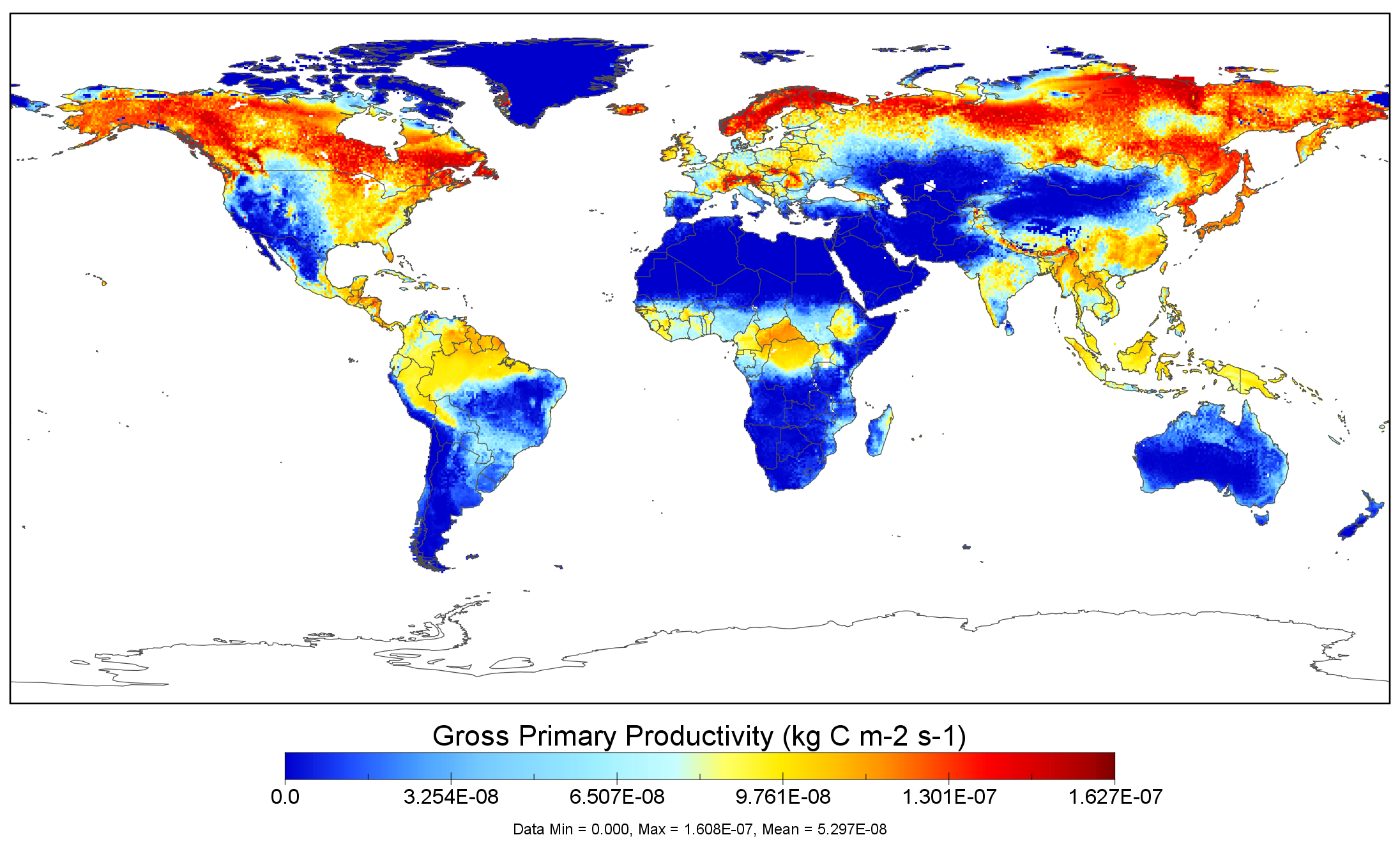
NACP MsTMIP: Global 0.5-degree Model Outputs in Standard Format, Version 1.0
National Aeronautics and Space Administration —
This data set provides global gridded estimates of carbon, energy, and hydrologic fluxes between the land and atmosphere from 15 Terrestrial Biosphere Models (TBMs)... -
Federal
SARP 2012 Data
National Aeronautics and Space Administration —
SARP_2012_Data is the data collected onboard the NASA P-3B aircraft during the 2012 deployment of the Student Airborne Research Program (SARP) mission. Data... -
Federal
CYGNSS Level 3 Climate Data Record Version 1.1
National Aeronautics and Space Administration —
This dataset contains the Version 1.1 CYGNSS Level 3 Climate Data Record which provides the average wind speed and mean square slope (MSS) on a 0.2x0.2 degree... -
Federal
CYGNSS Level 3 MRG Science Data Record Near Real Time Version 3.2
National Aeronautics and Space Administration —
This dataset contains the version 3.2 CYGNSS Level 3 Merged (MRG) Science Data Record Near Real Time (NRT) Storm Wind Speed derived from the Delay Doppler Mapping... -
Federal
CYGNSS Level 2 Science Data Record Version 3.2
National Aeronautics and Space Administration —
This dataset contains the version 3.2 CYGNSS level 2 science data record which provides the time-tagged and geolocated average wind speed (m/s) and mean square slope... -
Federal
CYGNSS Level 3 Science Data Record Version 3.0
National Aeronautics and Space Administration —
This dataset contains the Version 3.0 CYGNSS Level 3 Science Data Record which provides the average wind speed and mean square slope (MSS) on a 0.2x0.2 degree... -
Federal
CYGNSS Level 1 Calibrated Raw IF Version 1.0
National Aeronautics and Space Administration —
The CYGNSS Level 1 Calibrated Raw IF Version 1.0 dataset is produced by the CYGNSS Science Team of the University of Michigan, and it contains the first release,... -
Federal
CYGNSS Level 2 Ocean Surface Heat Flux Climate Data Record Version 1.2
National Aeronautics and Space Administration —
This dataset contains the third release, Version 1.2, of the CYGNSS Level 2 Ocean Surface Heat Flux Climate Data Record (CDR), which provides the time-tagged and... -
Federal
CYGNSS Level 2 Ocean Surface Heat Flux Climate Data Record Version 1.0
National Aeronautics and Space Administration —
This dataset contains the first release, Version 1.0, of the CYGNSS Level 2 Ocean Surface Heat Flux Climate Data Record (CDR), which provides the time-tagged and...

Official websites use .gov
A
.gov website belongs to an official government
organization in the United States.
Secure .gov websites use HTTPS
A
lock (
) or https:// means you’ve safely connected to
the .gov website. Share sensitive information only on official,
secure websites.