
-
Federal
GeoEye-1 Level 1B Panchromatic Satellite Imagery
National Aeronautics and Space Administration —
The GeoEye-1 Level 1B Panchromatic Imagery collection contains satellite imagery acquired from Maxar Technologies (formerly known as DigitalGlobe) by the Commercial... -
Federal
WorldView-3 Level 1B Panchromatic Satellite Imagery
National Aeronautics and Space Administration —
The WorldView-3 Level 1B Panchromatic Imagery collection contains satellite imagery acquired from Maxar Technologies (formerly known as DigitalGlobe) by the... -
Federal
TROPICS06 L2A Unified Resolution Brightness Temperatures V1.0
National Aeronautics and Space Administration —
The "Time-Resolved Observations of Precipitation structure and storm Intensity with a Constellation of Smallsats" (TROPICS) mission has a goal of providing nearly... -
Federal
TROPICS03 L2A Unified Resolution Brightness Temperatures V1.0
National Aeronautics and Space Administration —
The "Time-Resolved Observations of Precipitation structure and storm Intensity with a Constellation of Smallsats" (TROPICS) mission has a goal of providing nearly... -
Federal
TROPICS05 L1B Orbital Geolocated Native-Resolution Brightness Temperatures V0.2
National Aeronautics and Space Administration —
The "Time-Resolved Observations of Precipitation structure and storm Intensity with a Constellation of Smallsats" (TROPICS) mission has a goal of providing nearly... -
Federal
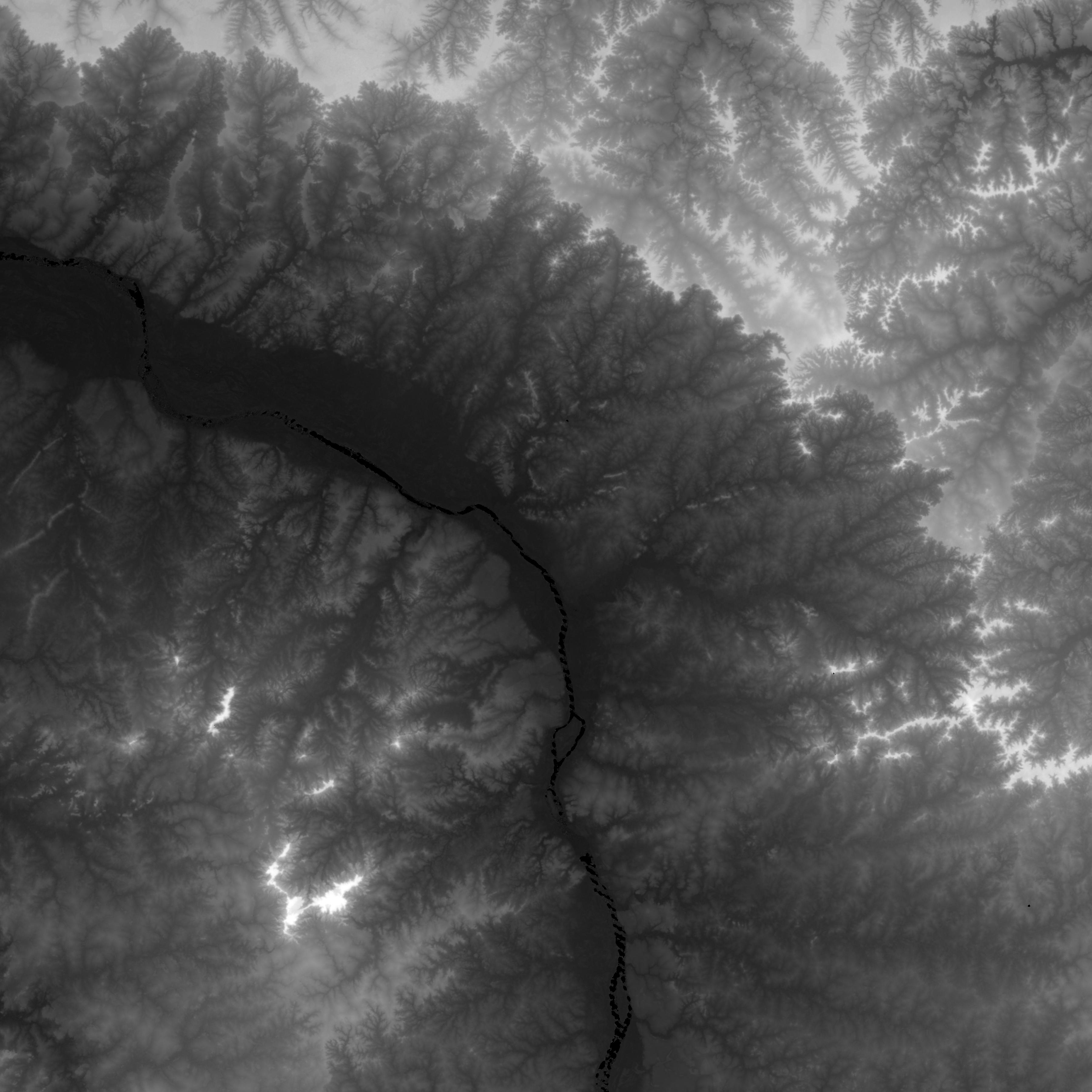
MEaSUREs Greenland Ice Mapping Project (GrIMP) Digital Elevation Model from GeoEye and WorldView Imagery V002
National Aeronautics and Space Administration —
This data set consists of an enhanced resolution digital elevation model (DEM) for the Greenland Ice Sheet, derived from sub-meter resolution, panchromatic... -
Federal
TROPICS07 L2A Unified Resolution Brightness Temperatures V0.2
National Aeronautics and Space Administration —
The "Time-Resolved Observations of Precipitation structure and storm Intensity with a Constellation of Smallsats" (TROPICS) mission has a goal of providing nearly... -
Federal
SMAPVEX12 Land Cover Classification Map V001
National Aeronautics and Space Administration —
This data set consists of land cover classification data derived from satellite imagery as part of the Soil Moisture Active Passive Validation Experiment 2012... -
Federal
TROPICS01 Pathfinder L2A Unified Resolution Brightness Temperatures V1.0
National Aeronautics and Space Administration —
The "Time-Resolved Observations of Precipitation structure and storm Intensity with a Constellation of Smallsats" (TROPICS) mission has a goal of providing nearly... -
Federal
SMAPVEX08 Vegetation Water Content Map V001
National Aeronautics and Space Administration —
The Vegetation Water Content (VWC) map for the Soil Moisture Active Passive Validation Experiment 2008 (SMAPVEX08) was derived by calculating Normalized Difference... -
Federal
NASADEM SRTM-only Height and Height Precision Mosaic Global 1 arc second V001
National Aeronautics and Space Administration —
The Land Processes Distributed Active Archive Center (LP DAAC) is responsible for the archive and distribution of NASA Making Earth System Data Records for Use in... -
Federal
An Unexpectedly Large Count of Trees in the West African Sahara and Sahel
National Aeronautics and Space Administration —
This dataset provides georeferenced polygon vectors of individual tree canopy geometries for dryland areas in West African Sahara and Sahel that were derived using... -
Federal
TROPICS05 L2B Neural-network Atmospheric Vertical Temperature & Moisture Profiles V0.2
National Aeronautics and Space Administration —
The "Time-Resolved Observations of Precipitation structure and storm Intensity with a Constellation of Smallsats" (TROPICS) mission has a goal of providing nearly... -
Federal
TROPICS01 Pathfinder L1B Orbital Geolocated Native-Resolution Brightness Temperatures V1.0
National Aeronautics and Space Administration —
The "Time-Resolved Observations of Precipitation structure and storm Intensity with a Constellation of Smallsats" (TROPICS) mission has a goal of providing nearly... -
Federal
SMAPVEX12 Land Cover Classification Map V001
National Aeronautics and Space Administration —
This data set consists of land cover classification data derived from satellite imagery as part of the Soil Moisture Active Passive Validation Experiment 2012... -
Federal
Land Cover Classification, Snow Cover, and Fractional Snow-Covered Area Maps from Maxar WorldView Satellite Images V001
National Aeronautics and Space Administration —
This data set includes: (1) fine-scale snow and land cover maps from two mountainous study sites in the Western U.S., produced using machine-learning models trained... -
Federal
TROPICS05 L2A Unified Resolution Brightness Temperatures V0.2
National Aeronautics and Space Administration —
The "Time-Resolved Observations of Precipitation structure and storm Intensity with a Constellation of Smallsats" (TROPICS) mission has a goal of providing nearly... -
Federal
IKONOS Level 1B Panchromatic Satellite Imagery
National Aeronautics and Space Administration —
The IKONOS Panchromatic Imagery collection contains satellite imagery acquired from Maxar Technologies (formerly known as DigitalGlobe) by the Commercial Smallsat... -
Federal
MEaSUREs Greenland Ice Mapping Project (GIMP) 2000 Image Mosaic V001
National Aeronautics and Space Administration —
This data set, part of the NASA's Making Earth System Data Records for Use in Research Environments (MEaSUREs) program, provides a complete 15 m resolution image...

Official websites use .gov
A
.gov website belongs to an official government
organization in the United States.
Secure .gov websites use HTTPS
A
lock (
) or https:// means you’ve safely connected to
the .gov website. Share sensitive information only on official,
secure websites.