
-
Federal
GEDI L2A Elevation and Height Metrics Data Global Footprint Level V002
National Aeronautics and Space Administration —
The Global Ecosystem Dynamics Investigation (GEDI) mission aims to characterize ecosystem structure and dynamics to enable radically improved quantification and... -
Federal
eROSITA All-Sky Survey (First 6 Months) Three-Band (2.3-5.0 keV) Source Catalog
National Aeronautics and Space Administration —
The eROSITA telescope array aboard the Spektrum Roentgen Gamma (SRG) satellite began surveying the sky in December 2019, with the aim of producing all-sky X-ray... -
Federal
TOLNet NASA Jet Propulsion Laboratory Data
National Aeronautics and Space Administration —
TOLNet_JPL_Data are lidar data collected by several ozone Differential Absorption Lidar instruments developed at the NASA Jet Propulsion Laboratory Table Mountain... -
Federal
GEDI L1B Geolocated Waveform Data Global Footprint Level V001
National Aeronautics and Space Administration —
GEDI Version 1 data products were decommissioned on February 15, 2022. Users are advised to use the improved GEDI01_B Version 2 data product.The Global Ecosystem... -
Federal
GEDI L2B Canopy Cover and Vertical Profile Metrics Data Global Footprint Level V001
National Aeronautics and Space Administration —
GEDI Version 1 data products were decommissioned on February 15, 2022. Users are advised to use the improved GEDI02_B Version 2... -
Federal
Planck Catalog of 545-GHz Compact Sources (PCCS) Release 2
National Aeronautics and Space Administration —
Planck was a European Space Agency (ESA) mission, with significant contributions from the National Aeronautics and Space Agency (NASA). It was the third generation of... -
Federal
HAYABUSA LIDAR V1.0
National Aeronautics and Space Administration —
The HAYABUSA spacecraft included a LIght Detection and Ranging (LIDAR) altimeter. The primary objective of LIDAR was to establish the range between the HAYABUSA... -
Federal
HAYABUSA LIDAR V2.0
National Aeronautics and Space Administration —
The HAYABUSA spacecraft included a LIght Detection and Ranging (LIDAR) altimeter. The primary objective of LIDAR was to establish the range between the HAYABUSA... -
Federal
HAYABUSA LIDAR V1.0
National Aeronautics and Space Administration —
The HAYABUSA spacecraft included a LIght Detection and Ranging (LIDAR) altimeter. The primary objective of LIDAR was to establish the range between the HAYABUSA... -
Federal
Aerosol Research Branch (ARB) 48 inch Lidar Data
National Aeronautics and Space Administration —
The ARB_48_IN_LIDAR data set contains data collected from a 48-inch lidar system located at NASA Langley Research Center. Each granule consists of one year of data.... -
Federal
Nano Dust Analyzer Project
National Aeronautics and Space Administration —
We propose to develop a new highly sensitive instrument to confirm the existence of the so-called nano-dust particles, characterize their impact parameters, and... -
Federal
Wind Profile Data: LIDAR - NOAA (FIFE)
National Aeronautics and Space Administration —
The aim of this wind profile study was to derive wind profiles and momentum fluxes from the National Oceanic and Atmospheric Administration (NOAA)/Wave Propagation... -
Federal
GALEX Time Domain Survey Catalog
National Aeronautics and Space Administration —
This table contains results from the selection and classification of over a thousand ultraviolet (UV) variable sources discovered in ~ 40 deg2 of GALEX Time Domain... -
Federal
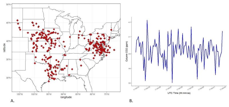
ACT-America: L2 Remotely Sensed Column-avg CO2 by Airborne Lidar, Lite, Eastern USA
National Aeronautics and Space Administration —
This dataset provides a direct subset (i.e., the Lite version) of the Level 2 (L2) remotely sensed column-average carbon dioxide (CO2) concentrations measured during... -
Federal
Planck Catalog of 143-GHz Compact Sources (PCCS) Release 2
National Aeronautics and Space Administration —
Planck was a European Space Agency (ESA) mission, with significant contributions from the National Aeronautics and Space Agency (NASA). It was the third generation of... -
Federal
Digital Elevation Models for the Global Change Research Wetland, Maryland, USA, 2016
National Aeronautics and Space Administration —
This dataset contains four alternative digital elevation models (DEMs) at 1 m resolution and model performance statistical metrics for the Global Change Research... -
Federal
Planck Catalog of 70-GHz Compact Sources (PCCS) Release 2
National Aeronautics and Space Administration —
Planck was a European Space Agency (ESA) mission, with significant contributions from the National Aeronautics and Space Agency (NASA). It was the third generation of... -
Federal
eROSITA All-Sky Survey (First 6 Months) X-Ray (0.2-2.3 keV) Source Catalog
National Aeronautics and Space Administration —
The eROSITA telescope array aboard the Spektrum Roentgen Gamma (SRG) satellite began surveying the sky in December 2019, with the aim of producing all-sky X-ray... -
Federal
Planck Catalog of 30-GHz Compact Sources (PCCS) Release 2
National Aeronautics and Space Administration —
Planck was a European Space Agency (ESA) mission, with significant contributions from the National Aeronautics and Space Agency (NASA). It was the third generation of... -
Federal
CLEM1 LUNAR TOPOGRAPHY V1.0
National Aeronautics and Space Administration —
The Clementine spacecraft included a Light Imaging Detection and Ranging (LIDAR) instrument. The LIDAR instrument measured the slant range from the spacecraft to the...

Official websites use .gov
A
.gov website belongs to an official government
organization in the United States.
Secure .gov websites use HTTPS
A
lock (
) or https:// means you’ve safely connected to
the .gov website. Share sensitive information only on official,
secure websites.